Situation Summary
The Dominican Republic remains a Level 2 (Exercise Increased Caution) jurisdiction with moderate overall threat exposure (global rank #124; composite score 2.0), but security conditions are highly localized and volatile. Violent crime—armed robbery, carjacking, assault, and homicide—persists in major urban centers, particularly Santo Domingo and Santiago, while the northwestern border region with Haiti experiences intermittent cross-border disturbances and sudden security force operations that disrupt travel and commerce. Recent event signals involving UK interests and Dominican authorities (police investigations, arrests, military mobilization, and political appeals) suggest underlying tensions that may amplify security incident rates over the near term.
Key Developments
- La Vega Province (composite risk 31.4): Significantly outranks all other regions; specific incident drivers remain under investigation but suggest concentration of organized activity or intercommunal friction warranting immediate focus.
- Dajabón (northwest border, Haiti frontier): Canadian travel advisory highlights heightened unpredictability; sporadic cross-border disturbances, protest roadblocks, and civil unrest create sudden disruption and bystander risk for overland travelers and cargo operators.
- Santo Domingo (capital urban core): Persistent armed robbery, carjacking, drive-by theft, and mugging at gunpoint reported in residential and commercial zones; foreign nationals targeted in daytime and after-dark incidents, including knifepoint assaults.
- Punta Cana / resort corridors (tourist zones): Elevated sexual assault and rape incidents documented; perpetrators include hotel staff and guests; nightlife areas show rise in drink-spiking, unlicensed taxi scams, and follow-home robbery targeting visitors departing clubs.
- Haiti–Dominican Republic land border (periodic closures): Authorities impose sudden checkpoint restrictions and crossing closures as security response; creates logistics disruption and stranded-traveler risk for business continuity and personnel movement.
- Nationwide urban nightlife and transport (after-dark risk): Noticeable uptick in muggings, petty theft, and scams in club districts; unlicensed taxi drivers and street-level robberies target departing foreigners; snatch-and-grab theft of phones/wallets increases at beaches, cafés, and airport zones.
- Recent UK–Dominican authority friction (2026-06-02 to 06-04): Police investigations, magistrate detentions, military mobilization, and political appeals suggest ongoing diplomatic or procedural tensions; potential catalyst for heightened enforcement activity or protest.
Highest-Risk Areas
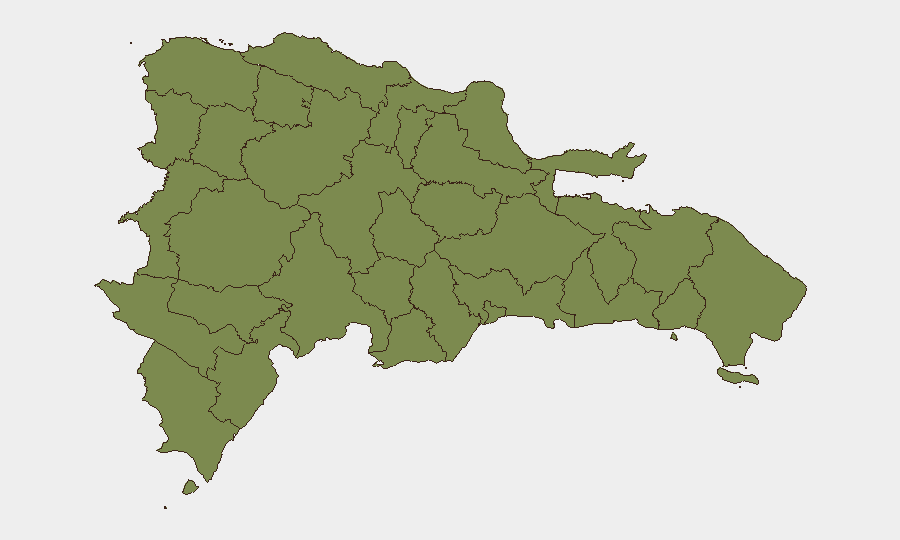
La Vega Province dominates the sub-national risk profile with a composite score of 31.4—approximately 22 times higher than all other tracked regions—suggesting concentration of organized criminal activity, gang-related violence, or civil unrest. The remaining eleven provinces cluster at 1.4, indicating either lower incident frequency or better containment, but the northwestern border zone (Dajabón, Monte Cristi, Santiago Rodríguez, Valverde) represents a distinct secondary risk tier due to Haiti-linked instability and cross-border disturbance potential. Urban centers (Santo Domingo, Santiago) drive national violence statistics but are not separately ranked; teams should treat major cities as independent high-risk zones despite provincial-level data presentation.
How GeoBit Would Assist
Security teams should deploy AOI Monitoring & Early Warning on La Vega, Dajabón, and Santo Domingo to capture real-time protest, roadblock, and violent-incident alerts. Intel Sweep and X/Twitter & Telegram OSINT with sentiment analysis will track UK–Dominican tensions and emerging protest signals. Routing & Network Analysis enables alternative journey planning around border closures and high-crime corridors for personnel and cargo movements. Real-time maritime and aviation tracking supports safe egress planning if conditions escalate.
7-Day Outlook
The recent UK–Dominican authority friction and military mobilization signal potential for escalated enforcement or protest activity over the next week, particularly in La Vega and border zones. Border closures may persist or tighten in response to Haiti instability; personnel and cargo should expect continued disruption at official crossing points. Urban violent crime is expected to maintain baseline rates; after-dark travel and nightlife-zone visits carry sustained elevated risk for foreign nationals.
Highest-Risk Areas — Ranked
| # | State / Region | Risk |
|---|---|---|
| 1 | La Vega | 31.4 |
| 2 | Monte Cristi | 1.4 |
| 3 | Dajabón | 1.4 |
| 4 | Santiago Rodríguez | 1.4 |
| 5 | Valverde | 1.4 |
| 6 | Puerto Plata | 1.4 |
| 7 | Santiago | 1.4 |
| 8 | Espaillat | 1.4 |
| 9 | Hermanas Mirabal | 1.4 |
| 10 | Elías Piña | 1.4 |
| 11 | San Juan | 1.4 |
| 12 | Independencia Province | 1.4 |