Situation Summary
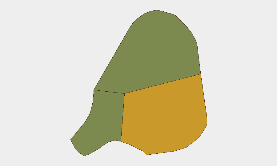
Antigua and Barbuda remains a low-threat jurisdiction globally (composite score 3), with no tracked major security events in the current window. However, police operations on 25–27 July across St. John's and surrounding communities—involving firearms recovery, a murder investigation, and arrests—indicate routine but active law-enforcement responses to street crime. The distribution of risk is highly concentrated: Antigua island (risk 72) accounts for substantially higher threat than Barbuda (18) or Redonda (8), reflecting population density and urban crime patterns in the capital and adjacent settlements.
Key Developments
- St. John's / Collins / East Bus Station / Cashew Hill / Golden Grove — 25 July 2026: Antigua Police Service conducted coordinated anti-crime sweeps across multiple communities, recovering one unlicensed firearm, ammunition, and a Colombian passport; three arrests made.
- Multiple communities — 27 July 2026: Police detained a man and a woman in connection with murder investigations; authorities seized jewellery, clothing, six mobile phones, a tablet, a notebook, and two surveillance cameras from the scene or suspects.
- No corroborated discrete incidents reported in final 24 hours (28–30 July). Remaining web signals from the period are either generic, historical, or lack independent confirmation.
Highest-Risk Areas
Antigua island dominates the threat profile, with a composite risk score of 72—nearly four times higher than Barbuda. St. John's, the capital, and its immediate neighborhoods (Collins, Cashew Hill, Golden Grove) are the focal points for police anti-crime operations and petty street crime. Barbuda and Redonda remain substantially lower-risk, reflecting smaller populations and less organized criminal activity. Corporate and diplomatic presence is concentrated in and around St. John's, making the capital the primary area of duty-of-care concern for most foreign nationals and business operations.
How GeoBit Would Assist
Security teams operating in Antigua and Barbuda should employ Area-of-Interest Monitoring & Early Warning with persistent watch on St. John's police-scanner and local news feeds to surface emerging incidents in real time. OSINT fusion and corroboration across local police statements, X/Twitter, and independent news outlets will distinguish genuine crime developments from rumor or historical repetition—critical given the sparse independent reporting in the current window. Entity extraction and network analysis applied to arrest records and seized-item data can map emerging criminal networks and supply chains (e.g., firearms, contraband passports) that may affect asset security or personnel movement.
7-Day Outlook
No substantive change in threat posture is anticipated over the next seven days absent a major incident. Street-level crime and police enforcement activity will likely continue at baseline; monitoring of police operations and community crime reports remains the most cost-effective early-warning layer. Any significant escalation—organized violence, gang activity expansion, or port/maritime-related weapons trafficking—would likely surface first in police statements or local media and should be flagged immediately to duty-of-care teams.
Highest-Risk Areas — Ranked
| # | State / Region | Risk |
|---|---|---|
| 1 | Antigua | 72 |
| 2 | Barbuda | 18 |
| 3 | Redonda | 8 |
Sources
Previous Daily Briefs
A new Antigua and Barbuda brief is written every day — each with its own risk map and downloadable CSV. Here's the last week; use the calendar to go further back.
📅 Browse every day by calendar →
Highlighted days have a brief. Tap a day for that day's map & analysis, or “csv” for that day's dataset ($5).
Atlas — our AI intelligence desk — emails them this snapshot personally. Nothing else, no list.