Situation Summary
Azerbaijan faces elevated security risk driven by cross-border military tensions with Armenia and Iran, combined with persistent landmine contamination across recently contested territories. The national threat score remains moderate (composite 2; #86 globally), but sub-national concentration of risk—particularly in Agdere District (31.4) and Baku City (18.9)—reflects active conventional military activity and potential for escalation. The 2 June event cycle shows diplomatic friction alongside military posturing; the March 2026 Iranian drone strike on Nakhchivan International Airport and ongoing border closures indicate sustained tension in the southern frontier. Overall trajectory: volatile, with terrorism and armed-conflict risk elevated in border zones.
Key Developments
- Nakhchivan International Airport (Nakhchivan exclave), early June 2026 — Iranian unmanned aerial systems struck the airport terminal and a rural school, injuring four civilians and damaging infrastructure; Azerbaijan's administration characterized the attack as an act of terror.
- Azerbaijan–Iran border, June 2026 — Following the Nakhchivan strike, Azerbaijan halted all cross-border traffic with Iran and convened a Security Council meeting; the government announced full combat-readiness posture and preparation of response measures.
- Armenia–Azerbaijan border (ongoing) — Conventional military force signals recorded on 1 June indicate active military positioning by both nations; U.S. travel advisory flagged landmine and unexploded-ordnance risk across 12+ named territories in contested regions (Aghdam, Kalbajar, Khankendi, Lachin, Shusha, Zangilan, and others).
- Turkey–Azerbaijan military engagement (1–4 June) — Multiple conventional military force signals recorded between Turkey and Azerbaijan, and separately between Turkey and Azerbaijan; operational context remains unclear from available open-source intelligence.
- Baku City (2–3 June) — Public statements and investigation signals involving the Gazette, Secretariat, and Prosecutor General; U.S. rejection of a Gazette statement on 4 June suggests diplomatic friction or misinformation concerns.
- Southern border region (Iran frontier) — U.S. State Department expanded its "do not travel" advisory to cover the entire southern border zone due to armed-conflict escalation tied to the Iranian drone strike.
Highest-Risk Areas
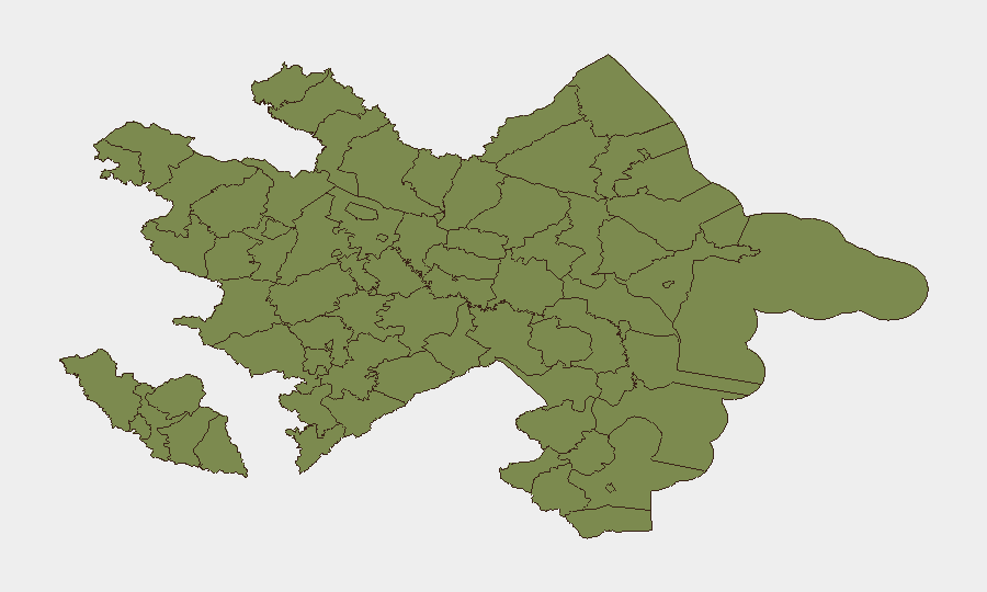
Agdere District dominates the sub-national risk profile (31.4), reflecting its proximity to the Armenia border and active military positioning signals. Baku City (18.9) concentrates political, diplomatic, and potential security-force activity; recent public statements and investigative signals suggest governance friction. Khachmaz District (13.1) and Ujar District (6.4) face secondary but measurable risk, likely driven by border proximity and landmine contamination. The remaining districts carry baseline or low risk (1.4), with the exception of Nakhchivan Autonomous Republic, which—while nominally low-scored in the ranking—hosts critical infrastructure now targeted by Iranian strikes and represents the southern escalation flashpoint.
How GeoBit Would Assist
Security teams should deploy AOI (Area-of-Interest) Monitoring & Early Warning on Agdere District, Baku City, and the Nakhchivan exclave to detect force-posture changes and cross-border activity in real time. Intel Sweep, OSINT fusion, and multi-language search across local news, official statements, and Telegram/X feeds will corroborate diplomatic developments and separate credible threat signals from propaganda. Conflict & Military battle mapping and satellite imagery analysis can track troop concentration, airfield activity, and infrastructure damage in border zones, enabling duty-of-care teams to refine evacuation routing via Routing & Network Analysis capabilities.
7-Day Outlook
The next seven days will likely see continued military posturing along the Armenia and Iran borders, with elevated risk of localized escalation or retaliatory messaging. Border closures and travel disruptions will remain in effect; corporate teams with personnel or assets in Baku or southern regions should confirm staff location and readiness protocols. Monitor for any public statements from Armenia, Iran, or Turkey that could signal tactical shifts or broader conflict broadening.
Highest-Risk Areas — Ranked
| # | State / Region | Risk |
|---|---|---|
| 1 | Agdere District | 31.4 |
| 2 | Baku City | 18.9 |
| 3 | Khachmaz District | 13.1 |
| 4 | Ujar District | 6.4 |
| 5 | Sadarak District | 1.4 |
| 6 | Qazakh District | 1.4 |
| 7 | Sharur District | 1.4 |
| 8 | Yevlakh District | 1.4 |
| 9 | Kangarli District | 1.4 |
| 10 | Nakhchivan Autonomous Republic | 1.4 |
| 11 | Aghstafa District | 1.4 |
| 12 | Tovuz District | 1.4 |