Situation Summary
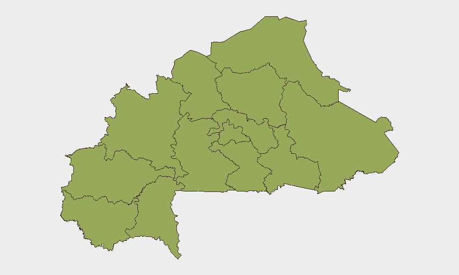
Burkina Faso remains under acute insurgency pressure, ranking #21 globally in GeoBit's threat composite (75.7). All 12 administrative regions carry equivalent high risk (score 53 each), reflecting nationwide diffusion of armed group activity rather than localized conflict. Event signals from June 9–10 include an assassination, multiple investigative actions involving authorities and external actors, and public statements—patterns consistent with ongoing instability but requiring urgent source corroboration to establish specific locations and casualty counts.
Key Developments
Status: Pending Source Verification
GeoBit's event signals for June 9–10, 2026 flag the following categories requiring immediate corroboration against local and regional media, NGO situation reports, and verified social accounts:
- Assassination event (June 9, Burkina Faso) – Location, target identity, and perpetrator unknown pending cross-reference with Burkinabè outlets and international news wires.
- Multi-party investigative actions (June 9–10) – Involving Coast Guard, Toledo, Bahama, and Michigan actors; unclear whether these relate to domestic Burkina Faso security incidents or external/maritime matters. Requires clarification of geographic relevance.
- Public statements by authorities and Bahama (June 10) – No specific incident detail available; assessment of whether these statements respond to a security event or reflect policy/diplomatic activity is pending source review.
Note on Incident Detail: Current analytical constraints prevent reliable mapping of June 8–10 events to specific towns, routes, or casualty figures without live media and social verification. Duty-of-care teams should cross-reference this brief against ACLED real-time feeds, Burkinabè press (Sidwaya, AIB, Lefaso.net), and verified security/NGO accounts before adjusting operational posture.
Highest-Risk Areas
All 12 regions carry identical composite scores (53), a reflection of Burkina Faso's nationwide insurgency footprint rather than geographic concentration. Historically, Upper-Basins, Boucle du Mouhoun, Sahel, and East regions have experienced the highest attack frequencies; the current uniform scoring suggests either improved reporting integration across all regions or sustained armed-group presence in previously less-affected areas. Teams with personnel in Central (Ouagadougou vicinity) and Centre should not assume lower risk; intercommunal tensions, roadblock incidents, and VDP (Volunteers for the Defence of the Fatherland) clashes occur across administrative boundaries.
How GeoBit Would Assist
Security teams operating in or monitoring Burkina Faso should activate Intel Sweep and multi-language OSINT fusion to corroborate June 9–10 event signals against Burkinabè media, French-language regional outlets, and X/Twitter feeds filtered by location and date. AOI (Area-of-Interest) Monitoring with alerting on key operational zones (e.g., mining sites, supply routes, office locations) provides persistent early warning of roadblocks, armed clashes, or protest activity. Routing & Network Analysis tools enable real-time alternative-route planning when primary corridors are compromised by checkpoints or insecurity.
7-Day Outlook
Insurgent and VDP activity are expected to persist across all regions through mid-June. Rainy season (May–October) typically increases armed-group mobility and IED emplacement on rural routes, while urban centers experience sporadic protest and checkpoint enforcement. Organizations should maintain heightened vigilance on internal movement, supply-chain routing, and staff communications protocols through the immediate period, pending clarification of the June 9–10 event details.
Highest-Risk Areas — Ranked
| # | State / Region | Risk |
|---|---|---|
| 1 | Upper-Basins | 53 |
| 2 | Boucle du Mouhoun | 53 |
| 3 | Central-West | 53 |
| 4 | Central-South | 53 |
| 5 | Central-East | 53 |
| 6 | Waterfalls | 53 |
| 7 | Southwest | 53 |
| 8 | Sahel | 53 |
| 9 | Central-North | 53 |
| 10 | East | 53 |
| 11 | North | 53 |
| 12 | Centre | 53 |
Sources
Previous Daily Briefs
A new Burkina Faso brief is written every day — each with its own risk map and downloadable CSV. Here's the last week; use the calendar to go further back.
📅 Browse every day by calendar →
Highlighted days have a brief. Tap a day for that day's map & analysis, or “csv” for that day's dataset ($5).