Situation Summary
French Polynesia remains a low-threat operating environment with a composite threat score of 2 and no active tracked security incidents as of 12 July 2026. The territory exhibits baseline stability typical of a developed overseas collectivity with established institutional and law-enforcement frameworks. A single investigative signal flagged on 11 July (FRIGATE vs French Polynesia) requires monitoring but has not yet generated confirmed open-source reporting of operational impact.
Key Developments
No independently confirmed security incidents, civil unrest, serious crime events, or travel-disrupting incidents were reported in French Polynesia within the 24–48 hours preceding this brief. Open-source media, government advisories, and social-media monitoring revealed no credible, time-stamped reports of conflict, infrastructure disruption, political instability, or acute personnel risk during that window. The 11 July investigative signal (FRIGATE reference) remains under analysis; reliability and scope cannot yet be confirmed from public sources.
Highest-Risk Areas
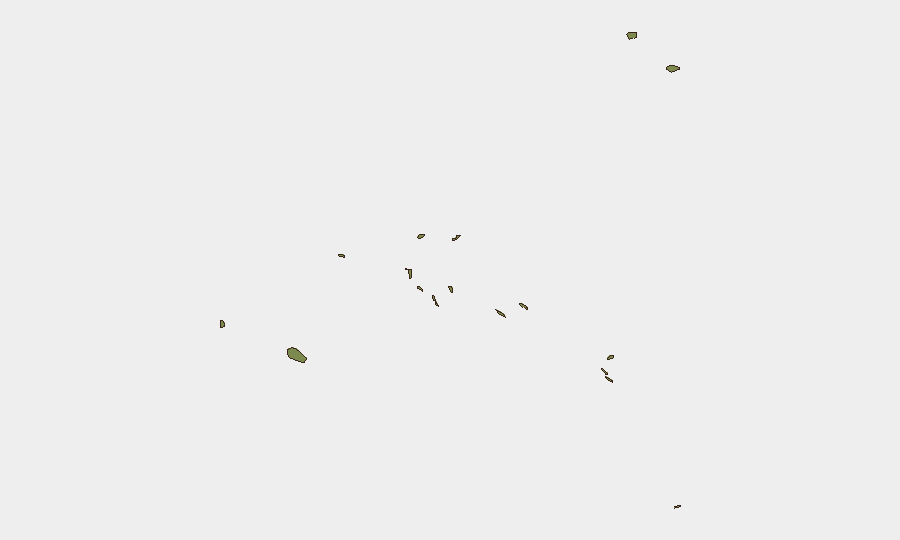
Sub-national risk ranking data are unavailable for French Polynesia. Baseline security risk is geographically dispersed across the archipelago's inhabited islands and atolls, with Tahiti (Society Islands) and Papeete representing the largest population concentrations and therefore the primary focus for duty-of-care asset and personnel monitoring. Seasonal cyclone risk (November–March austral summer) and maritime hazards affecting inter-island logistics remain the dominant structural risk drivers; localized petty crime and occasional labor disputes have been historically low-level and non-violent.
Highest-Risk Areas
Sub-national risk ranking data are unavailable for French Polynesia. Baseline security risk is geographically dispersed across the archipelago's inhabited islands and atolls, with Tahiti (Society Islands) and Papeete representing the largest population concentrations and therefore the primary focus for duty-of-care asset and personnel monitoring. Seasonal cyclone risk (November–March austral summer) and maritime hazards affecting inter-island logistics remain the dominant structural risk drivers; localized petty crime and occasional labor disputes have been historically low-level and non-violent.
How GeoBit Would Assist
Corporate security teams should establish persistent Area-of-Interest monitoring via GeoBit's AOI Monitoring & Early Warning service, configured for Papeete and key economic zones, to detect any emergence of civil unrest, labor action, or security-relevant incidents in near-real time. Activate Multi-Language Search and OSINT Fusion & Corroboration to track local media, government advisories, port notices, and maritime-safety alerts; this combination will flag disruptions to personnel movement, supply chains, or asset access earlier than mainstream English-language news cycles. The investigative signal flagged on 11 July should be cross-checked via Network & Actor Analysis and Entity Extraction to establish whether FRIGATE represents a genuine operational threat or procedural noise.
7-Day Outlook
No acute security deterioration is anticipated over the next seven days. The territory's risk posture is expected to remain stable and low-threat, contingent on the clarification of the 11 July investigative signal. Duty-of-care teams should confirm that personnel and asset locations are registered within GeoBit's monitoring scope and that emergency communication and evacuation protocols account for inter-island transit constraints and seasonal weather patterns.
Sources
Previous Daily Briefs
A new French Polynesia brief is written every day — each with its own risk map and downloadable CSV. Here's the last week; use the calendar to go further back.
📅 Browse every day by calendar →
Highlighted days have a brief. Tap a day for that day's map & analysis, or “csv” for that day's dataset ($5).
Atlas — our AI intelligence desk — emails them this snapshot personally. Nothing else, no list.