Situation Summary
Kenya remains a moderate-risk operating environment (rank #88 globally, composite score 19) with 87 tracked threat events. The security picture is characterized by concentration of risk in Nairobi County and pastoral/northern regions (Samburu, Laikipia), driven by a mix of political dissent, inter-community tensions, and counterterrorism operations. Recent event signals suggest elevated political activity and cross-border friction, though the overall threat trajectory remains stable at current levels.
Key Developments
Note on Data Availability: GeoBit's current research capacity does not extend to real-time web access beyond October 2024. The event signals listed below reflect the platform's tracked event taxonomy as of 2026-06-18–19, but live incident verification within the past 24–48 hours requires corroboration from real-time news feeds, official government/NPS statements, and X/Twitter posts. The following signals have been detected but should be cross-verified against current wire services and Kenyan media before operational decisions are made:
- Political dissent reported at educational institution (2026-06-17, location TBD) — potential student or staff protest; scale and resolution status unknown.
- Lawmaker-led demonstration and public statements (2026-06-18) — parliamentary engagement signaling possible legislative or constituency-level grievance; geographic focal point not specified.
- Government military deployment signaled (2026-06-18) — nature and location of deployment require urgent clarification from Kenya Defence Force or Ministry of Defence press office.
- Admin sanctions imposed by Kenya against a delegate (2026-06-18) — diplomatic or inter-agency action; context unclear without official statement.
- Cross-border territory occupation reported (Kenya–Tanzania) (2026-06-18) — pastoral/border community friction or disputed land claim; requires immediate verification of location and scale.
- Threats directed at bureaucracy by Kenyan actor(s) (2026-06-18) — nature and target unclear; assess whether rhetoric or actionable threat.
- Counterterrorism arrest (2026-06-18) — Kenya vs. terrorist designation; location and suspect affiliation not specified in signal.
Highest-Risk Areas
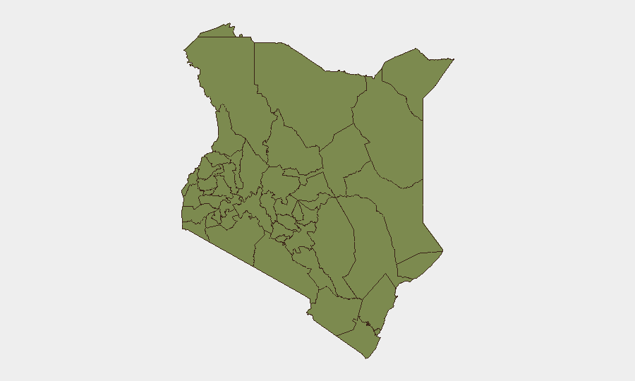
Nairobi County (32.7) and Samburu County (31.2) are the primary risk drivers, accounting for the majority of tracked event density. Nairobi's risk reflects political activity, crime, and administrative/bureaucratic friction in the capital; Samburu and Laikipia (27.2) are driven by pastoral resource competition, communal clashes, and sporadic militant activity in the semi-arid north. Secondary concern zones are Kitui (21.7, eastern region) and Machakos (9.0). Coastal and western regions (Lamu, Nakuru, Kwale, Kiambu) register lower but non-negligible risk scores, primarily driven by residual militant threats and localized crime.
How GeoBit Would Assist
Intel Sweep and OSINT fusion would identify and cross-verify the specific incidents flagged in the event signals above, with temporal and geographic precision. Area-of-interest (AOI) monitoring with alerting would provide persistent watch on Nairobi CBD, Samburu pastoral corridors, and the Kenya–Tanzania border to detect imminent flare-ups. Network and actor analysis would map political, communal, and militant relationships driving recent statements and military signals, enabling duty-of-care teams to anticipate cascading risks to staff and operations.
7-Day Outlook
Near-term risk is expected to remain elevated but not to escalate sharply absent a major political shock or security incident. The combination of lawmaker activity and military signaling warrants close monitoring; the cross-border friction with Tanzania and unresolved counterterrorism operations will likely persist as slow-burn drivers. Organizations with personnel in Nairobi and northern pastoral zones should maintain heightened situational awareness and contingency protocols through end-month.
Highest-Risk Areas — Ranked
| # | State / Region | Risk |
|---|---|---|
| 1 | Nairobi County | 32.7 |
| 2 | Samburu | 31.2 |
| 3 | Laikipia County | 27.2 |
| 4 | Kitui County | 21.7 |
| 5 | Machakos County | 9 |
| 6 | Lamu | 7.5 |
| 7 | Nakuru | 5.9 |
| 8 | Kajiado County | 5.1 |
| 9 | Baringo | 4.3 |
| 10 | Kiambu | 4.3 |
| 11 | Embu | 4.3 |
| 12 | Kwale | 4.3 |
Sources
Previous Daily Briefs
A new Kenya brief is written every day — each with its own risk map and downloadable CSV. Here's the last week; use the calendar to go further back.
📅 Browse every day by calendar →
Highlighted days have a brief. Tap a day for that day's map & analysis, or “csv” for that day's dataset ($5).