Situation Summary
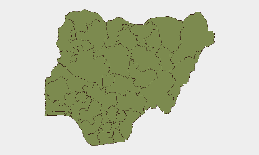
Nigeria remains at composite threat rank #31 globally, with 600 tracked events driving a score of 67. The past 48 hours have seen a dual-track security picture: sustained, coordinated lethal attacks by non-state armed groups across the north-central belt (Benue, Plateau, Niger States), combined with a nationwide police surge targeting kidnapping, armed robbery and banditry. Risk concentration is highest in Lagos State (31.8), the Federal Capital Territory (24.8), and Oyo State (23.4), though the most volatile incidents are occurring in secondary zones (Benue, Plateau, Niger) where multi-site attacks and IED deployment suggest organized, mobile threat actors.
Key Developments
- Otukpo-Nobi and Akpachi villages, Benue State – 12 July 2026 (Sunday, early morning). Suspected armed herders attacked mourners and separate communities, killing 8–10 in Otukpo-Nobi and contributing to approximately 18 fatalities across both Benue locations, with houses and motorcycles destroyed. Local and international monitors report higher tolls than official police confirmation.
- Wereng-Camp and Kum villages, Plateau State – 11–12 July 2026 (Saturday night–Sunday). Coordinated gunfire attacks killed at least nine family members in Wereng-Camp (including women, children and a three-month-old infant) and additional casualties in Kum, part of a multi-state assault cluster killing at least 36 across Plateau, Benue and Niger in a 48-hour window.
- Dakera-Babanna road, Borgu LGA, Niger State – 9–11 July 2026 (Thursday–Saturday). A vehicle struck an improvised explosive device (IED), killing four civilians. Parallel attacks in Kpenya, Dekara and Pissa communities killed five additional civilians, including a former school principal and traditional title holder, with two vigilantes wounded in counter-engagement.
- Nationwide police operations – 15–16 July 2026 (last 24 hours). The Nigeria Police Force reported coordinated law-enforcement sweeps across 11 states (Anambra, Bayelsa, Benue, Delta, Gombe, Nasarawa, Niger, Ogun, Osun, Bauchi, Zamfara), resulting in arrest of 43–15 suspected criminals (figures vary by report), rescue of 6–12 kidnap victims, and recovery of firearms, ammunition, stolen vehicles and rustled livestock.
- Multi-state signal clustering – 15–16 July 2026. National Assembly and state-level public statements, government demands, and presidential/monarch commentary on recent violence reflect sustained elite-level attention to north-central security deterioration and police operations nationwide.
Highest-Risk Areas
Lagos State and the Federal Capital Territory dominate the composite risk ranking due to population density, economic activity, and persistent armed robbery and kidnapping networks. However, the Benue–Plateau–Niger corridor (ranked 4th–5th: Borno, Nasarawa) is the current locus of lethal, organized attack activity. The north-central belt shows evidence of coordinated multi-site operations with IED deployment, suggesting either established mobile bandit confederations or terrorist-aligned actors, and represents the highest acute threat to remote communities and inter-state transport corridors despite lower overall composite scores than Lagos or Abuja.
How GeoBit Would Assist
Security teams should deploy AOI Monitoring & Early Warning on high-volatility zones (Benue, Plateau, Niger LGAs) to detect attack clustering and movement patterns. OSINT Fusion & Corroboration (X, Telegram, local media) cross-references official police figures against NGO and community reports, narrowing casualty and incident uncertainty. Routing & Network Analysis identifies safer inter-state corridors and transport timings as operations expand across the north-central belt.
7-Day Outlook
The north-central attack tempo and coordinated police operations suggest a period of sustained friction between non-state armed groups and law enforcement over the next 7 days. Expect continued kidnapping attempts in secondary cities and along regional highways; police operations may temporarily suppress street-level crime in urban centers but are unlikely to disrupt organized bandit or terrorist networks in rural corridor zones. Monitor state-level security council statements and military deployment announcements for escalation signals.
Highest-Risk Areas — Ranked
| # | State / Region | Risk |
|---|---|---|
| 1 | Lagos State | 31.8 |
| 2 | Federal Capital Territory | 24.8 |
| 3 | Oyo State | 23.4 |
| 4 | Borno State | 15.1 |
| 5 | Nasarawa State | 14.6 |
| 6 | Zamfara State | 14.2 |
| 7 | Kaduna State | 13.1 |
| 8 | Anambra State | 10 |
| 9 | Kogi State | 9.3 |
| 10 | Rivers State | 6.9 |
| 11 | Ekiti State | 6.8 |
| 12 | Katsina State | 5.2 |
Sources
Previous Daily Briefs
A new Nigeria brief is written every day — each with its own risk map and downloadable CSV. Here's the last week; use the calendar to go further back.
📅 Browse every day by calendar →
Highlighted days have a brief. Tap a day for that day's map & analysis, or “csv” for that day's dataset ($5).
Atlas — our AI intelligence desk — emails them this snapshot personally. Nothing else, no list.