Situation Summary
Oman faces a sharp escalation in maritime and energy-infrastructure threats stemming from regional U.S.–Iran tensions, with confirmed incidents in the Gulf of Oman over the past 48 hours. Al Wusta Governorate remains the highest-risk sub-national area (composite score 31.3), likely reflecting its coastal exposure and energy-sector concentration. The threat picture is currently dominated by transnational military and naval activity rather than internal political instability; however, critical energy facilities and shipping lanes transiting Omani waters are now active zones of conflict.
Key Developments
- Suspected U.S. strike on tanker in Gulf of Oman (past 48 hours). Maritime officials report two crew members missing and one injured following a suspected U.S. missile strike on an oil/products tanker offshore Oman's coast. Cross-source confirmation indicates three Indian sailors missing; incident corroborated by independent maritime and news outlets.
- Iranian claim of strike on U.S. military vessel in Sea of Oman (past 48 hours). Iran claims to have targeted an American military vessel in the Sea of Oman, a claim the United States has rejected. Incident cited as part of sharp escalation in regional maritime tensions, raising navigation risk for commercial shipping.
- Reported Iranian drone strike on Omani oil complex (reported "last night" as of 10 June). Widely circulated but single-sourced claim that Iran struck an oil/energy facility in Oman with a drone. While lacking formal government confirmation, the report is geographically specific and temporally consistent with the broader 48-hour escalation pattern.
- UN Secretary-General confirms escalating attacks and rhetoric in Gulf region (10 June 2026). Official briefing to UN Security Council references "escalating attacks and rhetoric over the last 48 hours" and restrictions on navigational rights in the Gulf and Sea of Oman, validating the severity and recency of the regional spike.
- Conventional military and small-arms engagements recorded (8–10 June). GeoBit event signals document small-arms combat between Oman and Iran, engagements between Oman and non-state/unidentified armed actors, U.S. conventional military force operations directed at Oman, and associated public statements, indicating multi-vector hostile activity.
Highest-Risk Areas
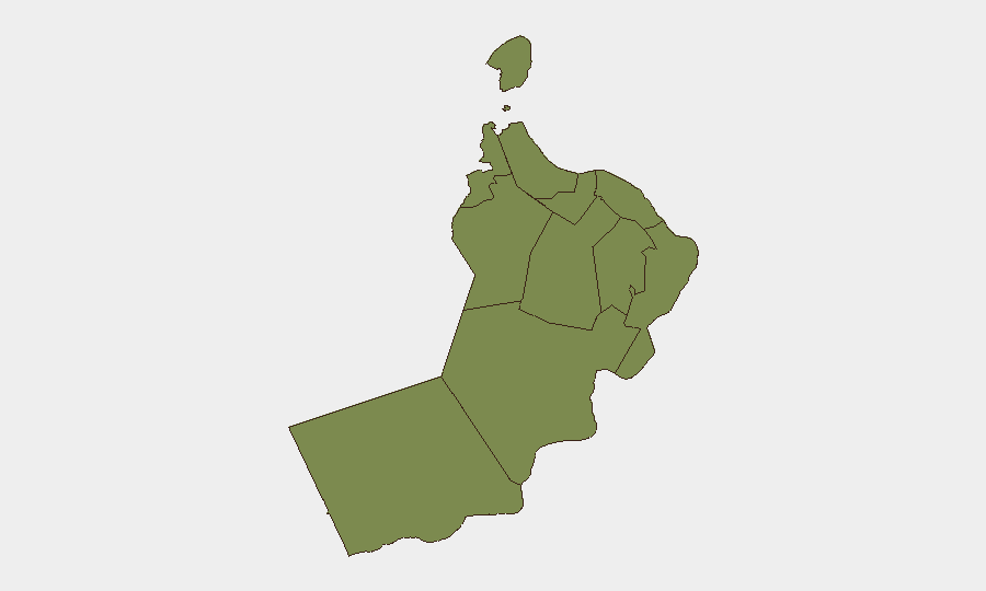
Al Wusta Governorate dominates the risk ranking (31.3), reflecting its position as a coastal and energy-production hub directly exposed to Gulf of Oman maritime conflict. Muscat Governorate (3.8) ranks second, driven by its status as the capital and primary economic center—vulnerable to spillover from maritime incidents and energy-infrastructure disruption. All other governorates cluster at substantially lower risk (1.3–2.5), indicating that threat concentration is heavily geographic and sectoral rather than nation-wide. The ranking underscores that corporate assets and personnel in oil/gas, shipping, and port operations face disproportionate exposure.
How GeoBit Would Assist
Organizations operating in Oman should activate Maritime & Aviation tracking and AOI (Area of Interest) Monitoring & Early Warning on critical energy facilities, ports, and shipping lanes in the Gulf of Oman to detect hostile activity in real time. Conflict & Military battle mapping and force-structure tracking will clarify U.S., Iranian, and other actor dispositions and capability. GIS & Spatial Analysis and alternative Routing & Network Analysis enable duty-of-care teams to plan secure transit corridors and identify safe anchorages or port alternatives if primary routes are compromised.
7-Day Outlook
Regional escalation is likely to persist and potentially intensify over the next 7 days, given the active cycle of claims, strikes, and rhetoric. Maritime traffic near Oman faces sustained elevated risk; energy infrastructure may be targeted again. Diplomatic de-escalation signals are absent from current reporting, and the involvement of multiple state and non-state actors suggests a complex, volatile tactical environment with limited predictability.
Highest-Risk Areas — Ranked
| # | State / Region | Risk |
|---|---|---|
| 1 | Al Wusta Governorate | 31.3 |
| 2 | Muscat Governorate | 3.8 |
| 3 | Musandam Governorate | 2.5 |
| 4 | Ash Sharqiyah South Governorate | 1.4 |
| 5 | Al Buraymi Governorate | 1.3 |
| 6 | Ad Dhahirah Governorate | 1.3 |
| 7 | Al Batinah North Governorate | 1.3 |
| 8 | Al Batinah South Governorate | 1.3 |
| 9 | Ad Dakhiliyah Governorate | 1.3 |
| 10 | Ash Sharqiyah North Governorate | 1.3 |
| 11 | Dhofar Governorate | 1.3 |
Sources
Previous Daily Briefs
A new Oman brief is written every day — each with its own risk map and downloadable CSV. Here's the last week; use the calendar to go further back.
📅 Browse every day by calendar →
Highlighted days have a brief. Tap a day for that day's map & analysis, or “csv” for that day's dataset ($5).