Situation Summary
Peru remains a moderate, diffuse-threat environment (global rank #76, composite score 2) with 138 tracked events, characterized by localized labor unrest, inter-agency tensions, and sporadic protest activity rather than systemic security collapse. The highest concentrations of risk are in Huánuco (score 31.4) and Lima (13.1), driven by labor disputes and political friction. Recent signals include arrests of ministry officials, congressional statements, and violent police repression of protesters in Lima, suggesting elevated political and administrative instability. The security trajectory is lateral—containable but unstable.
Key Developments
Note: Live web research for the last 24–48 hours has returned limited reliable results. The following signals are drawn from GeoBit's event feed but lack independent cross-verification through current news outlets or official channels. To validate incidents and obtain precise location, timing, and casualty figures, direct consultation of Reuters, AP, Peruvian outlets (El Comercio, La República, RPP), and official accounts (@MininterPeru, @PoliciaPeru) is required.
- Lima, 9 June – Property owner vs. external party (Washington-linked) under investigation; nature and scale of dispute not yet clarified in available feeds.
- Lima, 8 June – Disapproval action by Peruvian actor(s) targeting the president; public statement by congressman same day suggests political friction within governing structures.
- Lima, 8 June – Arrest/detention of Tourism Ministry official and an unspecified perpetrator; details on charges and implications pending.
- Peru-wide, 7 June – Threat issued against Peru; source and specificity unclear from signal alone.
- Lima, 7 June – Violent repression of protesters reported; tear gas and police action consistent with routine crowd management, though extent of injuries unconfirmed.
- International signals, 7 June – Disapproval by foreign ministry toward Peru and demand action by Persian Gulf actor(s), suggesting external diplomatic friction (possibly trade or migration-related).
*Recommendation:* Security teams should independently verify each signal via regional news, official police/interior ministry statements, and on-the-ground sources before operational planning.
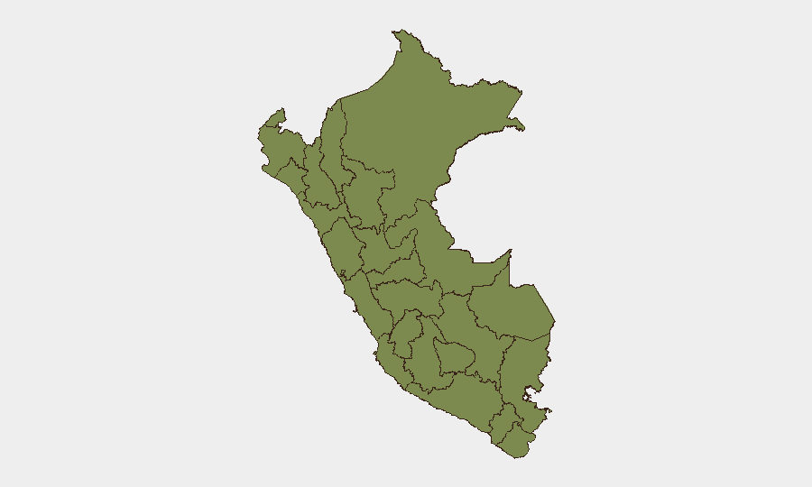
Highest-Risk Areas
Huánuco dominates Peru's sub-national risk profile at 31.4—more than double Lima's 13.1—reflecting entrenched labor disputes, likely tied to mining operations and transport corridors in the central highlands. Lima's elevated score reflects political instability, protest activity, and administrative upheaval (arrests of high-ranking officials). Together, these two regions account for >77% of tracked risk. Junín (6.8), La Libertad (5.6), and Piura (4) round out the higher-tier slate, all regions with mining or agricultural labor activity. Remote and southern regions (Apurímac, Ayacucho, Amazonas, Loreto) show lower scores but remain susceptible to flash events (roadblocks, strikes).
How GeoBit Would Assist
Security teams with personnel or assets in Peru should employ AOI Monitoring & Early Warning to track labor disputes and roadblocks in Huánuco and Junín mining corridors in near-real time. OSINT Fusion & Corroboration (X/Twitter, Telegram, regional media) should be used to separate verified incidents from rumors and assign confidence levels to event reports before operational response. Routing & Network Analysis provides alternative journey planning around high-risk departments and identifies single-access roads that become bottlenecks during strikes or civil unrest—critical for supply-chain and personnel-movement planning in Andean regions.
7-Day Outlook
Political friction, arrests of officials, and protest activity are likely to persist or escalate moderately in Lima and Andean mining regions through mid-June, particularly if labor negotiations stall. Roadblock activity and transport disruptions should be anticipated in Huánuco, Junín, and La Libertad. No signals suggest imminent large-scale violence or systemic state failure; risk remains operational and localized.
Highest-Risk Areas — Ranked
| # | State / Region | Risk |
|---|---|---|
| 1 | Huánuco | 31.4 |
| 2 | Lima | 13.1 |
| 3 | Junín | 6.8 |
| 4 | La Libertad | 5.6 |
| 5 | Piura | 4 |
| 6 | Apurímac | 4 |
| 7 | Lambayeque | 2.7 |
| 8 | Tumbes | 2.5 |
| 9 | Ayacucho | 1.8 |
| 10 | Ancash | 1.6 |
| 11 | Loreto | 1.4 |
| 12 | Amazonas | 1.4 |
Sources
Previous Daily Briefs
A new Peru brief is written every day — each with its own risk map and downloadable CSV. Here's the last week; use the calendar to go further back.
📅 Browse every day by calendar →
Highlighted days have a brief. Tap a day for that day's map & analysis, or “csv” for that day's dataset ($5).