Situation Summary
Sweden remains a low-risk jurisdiction globally (#65 composite threat score, 2.2/100) with 181 tracked events. However, sub-national risk is heavily concentrated in Jämtland County, which registers a composite score of 31.5—nearly nine times the national average and warranting immediate attention from duty-of-care teams with operations or personnel in that region. Recent event signals indicate active police investigations, prosecutorial statements, military activity, and diplomatic friction, though web-based verification of specific 24–48-hour incidents remains inconclusive. Overall trajectory suggests elevated but contained volatility.
Key Developments
- 2026-06-08 · Conventional Military Force activity reported in Sweden; no geographic detail available from current feeds. Recommend confirmation via Swedish Defence Ministry or Armed Forces official channels.
- 2026-06-08 · Police Investigation underway in Sweden; specific location and incident classification not yet clarified in accessible sources. Teams should monitor Polisen official statements.
- 2026-06-07 · Diplomatic friction: Mexico issued a public statement directed at Sweden. Context and implications unclear; recommend review of Swedish Ministry of Foreign Affairs and Mexican diplomatic statements.
- 2026-06-07 · Disapproval statements issued by Swedish authorities toward a presidential candidate and a ministry; suggests internal political tension. Monitor Swedish media and Riksdag/government channels for detail.
- 2026-06-07 · Arrest/Detention activity by Swedish authorities; scope and location not yet available in live feeds.
- 2026-06-07 · Multiple investigations initiated by Swedish authorities, including one involving Israel and another at village level; no geographic specificity in current data.
- 2026-06-07 · Public Statement by Swedish intelligence authority issued; content and implications require confirmation from official Swedish intelligence or media reporting.
Note: Web-based research has not reliably located detailed, time-stamped English-language confirmation of these signals in the last 24–48 hours. Teams should cross-reference with Polisen, MSB (Swedish Civil Contingencies Agency), Riksdag, and major Nordic outlets (SVT, SR, Dagens Nyheter).
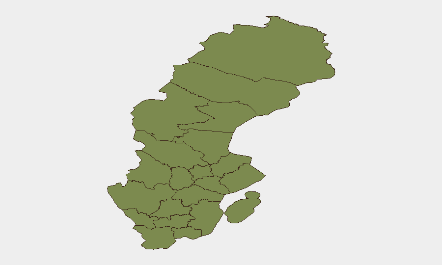
Highest-Risk Areas
Jämtland County dominates the risk profile, with a composite score of 31.5—an extreme outlier suggesting concentrated threat activity or repeated incidents in that region. Stockholm County, the capital region, registers 3.6, reflecting typical urban security complexities (crime, protest, cyber). All other tracked regions fall below 2.5, indicating either lower baseline risk or better situational control. Teams with personnel or assets in Jämtland should prioritize area-of-interest monitoring and confirm current operational security posture with local authorities and regional security partners.
How GeoBit Would Assist
Security teams should employ AOI Monitoring & Early Warning to track Jämtland County and Stockholm County for emerging incidents in near-real time, coupled with Intel Sweep and multi-source OSINT fusion to disambiguate these event signals and confirm incident type, location, and severity. Conflict & Military tracking and Network & Actor Analysis can clarify the nature of current military activity and arrest/detention events. Routing & Network Analysis would enable alternative route planning for personnel in high-risk areas.
7-Day Outlook
Event density and signal frequency suggest elevated but non-acute volatility over the next seven days. No indicators point to widening civil unrest, major transport disruption, or nationwide security degradation. Jämtland County warrants continued close observation. Standard corporate security protocols—regular staff check-ins, confirmed local contacts, and liaison with diplomatic missions—remain appropriate.
Highest-Risk Areas — Ranked
| # | State / Region | Risk |
|---|---|---|
| 1 | Jämtland County | 31.5 |
| 2 | Stockholm County | 3.6 |
| 3 | Skåne County | 2.4 |
| 4 | Uppsala County | 1.8 |
| 5 | Jönköping County | 1.6 |
| 6 | Norrbotten County | 1.5 |
| 7 | Västerbotten County | 1.5 |
| 8 | Västernorrland County | 1.5 |
| 9 | Dalarna County | 1.5 |
| 10 | Gävleborg County | 1.5 |
| 11 | Blekinge County | 1.5 |
| 12 | Västra Götaland County | 1.5 |
Previous Daily Briefs
A new Sweden brief is written every day — each with its own risk map and downloadable CSV. Here's the last week; use the calendar to go further back.
📅 Browse every day by calendar →
Highlighted days have a brief. Tap a day for that day's map & analysis, or “csv” for that day's dataset ($5).