Situation Summary
Antigua and Barbuda remains a low-threat jurisdiction globally (composite threat score 4/100) with no confirmed discrete security events in the 24-hour reporting window. However, underlying gang and firearms violence persists across Antigua island, evidenced by a non-fatal shooting on 27 July and ongoing police operations targeting organized crime. Law enforcement has intensified enforcement activity, including a multi-site crime crackdown (23–24 July), detention operations tied to murder investigations (27 July), and a public warning from the police commissioner on 30 July. Barbuda and Redonda remain substantially lower-risk jurisdictions.
Key Developments
- Bellevue Estate, Antigua — 27 July — A masked gunman discharged a firearm at a resident, striking the victim in the neck; the victim survived. No arrest reported as of last update.
- Islandwide police operations — 27 July — Police conducted coordinated raids across multiple communities, detaining two individuals in connection with ongoing murder investigations and seizing electronic devices, jewellery, and surveillance equipment.
- Collins, East Bus Station, Cashew Hill, Golden Grove, Antigua — 23–24 July — Police executed a multi-location crime crackdown, recovering one illegal firearm, ammunition, and other contraband; three arrests were made.
- His Majesty's Prison — 24 July — An inmate died during an incident while being medically escorted from his cell; authorities opened an investigation into the death.
- Police Commissioner statement — 30 July — Senior law enforcement issued a public warning to criminal elements following recent shootings, signalling elevated police response to gang-related violence.
- National cybersecurity policy — 25 July — The government announced formation of a Computer Incident Response Team to address rising cyber threats; this is a policy initiative rather than a confirmed incident.
Highest-Risk Areas
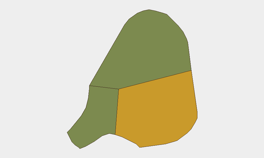
Antigua (risk score 72) accounts for the vast majority of documented security concerns and represents the operational centre of gang activity, firearm trafficking, and inter-gang violence. Specific neighbourhoods including Bellevue Estate, Collins, Cashew Hill, and Golden Grove show elevated incident clustering. Barbuda (risk 18) and Redonda (risk 8) experience negligible security incidents and remain suitable for routine business operations. The concentration of risk in Antigua's urban core and select residential neighbourhoods reflects localized gang territorial disputes and informal-economy crime, rather than a systemic political or infrastructure breakdown.
How GeoBit Would Assist
AOI Monitoring & Early Warning would enable persistent, automated watch over high-incident zones (Bellevue, Collins, Cashew Hill) with alert-on-change logic to flag new shootings, police operations, or criminal activity before it impacts corporate assets or personnel. Network & Actor Analysis paired with Intelligence & OSINT (X/Telegram monitoring, local news aggregation, police scanner intelligence) would build a real-time picture of gang relationships, territorial boundaries, and violence cycles informing duty-of-care decisions for staff movements and site security. Routing & Network Analysis would support alternative commute and supply-chain planning to minimize exposure to high-risk micro-geographies during periods of elevated tension.
7-Day Outlook
No imminent escalation is forecast. Police enforcement tempo may remain elevated in response to recent shootings, potentially disrupting routine movement in targeted neighbourhoods but reducing medium-term violence risk through increased deterrence and arrests. Expect continued monitoring of prison security and inter-gang dynamics; no political, weather, or infrastructure triggers are present to accelerate threat levels in the near term.
Highest-Risk Areas — Ranked
| # | State / Region | Risk |
|---|---|---|
| 1 | Antigua | 72 |
| 2 | Barbuda | 18 |
| 3 | Redonda | 8 |
Sources
Previous Daily Briefs
A new Antigua and Barbuda brief is written every day — each with its own risk map and downloadable CSV. Here's the last week; use the calendar to go further back.
📅 Browse every day by calendar →
Highlighted days have a brief. Tap a day for that day's map & analysis, or “csv” for that day's dataset ($5).
Atlas — our AI intelligence desk — emails them this snapshot personally. Nothing else, no list.