Situation Summary
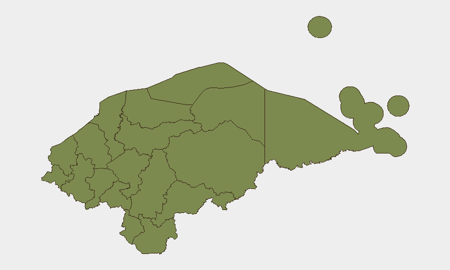
Honduras remains a moderate-risk environment (#61 globally) with a composite threat score of 17 across 27 tracked events. The country faces persistent challenges from organized crime, gang violence, and socioeconomic instability, though no major escalation or nationwide crisis has been detected in the current reporting window. Risk is heavily concentrated in Olancho department, which carries a composite score of 31.9—more than four times the national average—while most other regions remain substantially lower-risk. The overall trajectory remains stable but fragmented by geography.
Key Developments
No discrete security incidents have been confirmed in Honduras during the 24–48 hour window ending 2026-06-12. Real-time reporting from news and social-media sources for this period does not contain verifiable, timestamped events meeting the current-incident threshold. Teams with operations in Honduras should maintain standard monitoring protocols and flag any emerging incident reports to GeoBit for real-time assessment and corroboration.
Highest-Risk Areas
Olancho is the dominant risk driver, with a composite score of 31.9—substantially above all other departments. This eastern region has historically been associated with drug-trafficking infrastructure, land-dispute violence, and gang activity. Francisco Morazán (which includes the capital Tegucigalpa) and Choluteca (southern border region) carry secondary risk levels of 7.9 each, reflecting urban crime, gang presence, and proximity to trafficking routes. All other departments score 1.9 or lower, indicating that corporate and diplomatic presence in northern coastal zones (Cortés, Yoro) and central highlands faces materially lower threat levels than the eastern and southern corridors.
How GeoBit Would Assist
Security teams managing assets or personnel in Honduras should use Intel Sweep and global event feeds to establish baseline awareness of developments in high-risk departments, particularly Olancho and Francisco Morazán. AOI Monitoring & Early Warning on key facility locations and travel corridors will provide persistent watch and alert capability, enabling rapid escalation if conditions shift. For teams planning movement between regions or into rural areas, Routing & Network Analysis combined with OSINT fusion and corroboration will identify safer travel windows and validate security information from local contacts before decisions are made.
7-Day Outlook
No indicators suggest imminent escalation or systemic instability across Honduras in the coming week. Olancho's elevated risk profile warrants continued monitoring for shifts in gang or trafficking activity, but no specific trigger events have been identified. Teams should maintain standard duty-of-care protocols, avoid unnecessary travel to high-risk departments, and establish rapid-communication channels with local security contacts and GeoBit for real-time assessment if conditions change.
Highest-Risk Areas — Ranked
| # | State / Region | Risk |
|---|---|---|
| 1 | Olancho | 31.9 |
| 2 | Francisco Morazán | 7.9 |
| 3 | Choluteca | 7.9 |
| 4 | El Paraíso | 1.9 |
| 5 | Copán | 1.9 |
| 6 | Ocotepeque | 1.9 |
| 7 | Cortés | 1.9 |
| 8 | Yoro | 1.9 |
| 9 | Santa Bárbara | 1.9 |
| 10 | Lempira | 1.9 |
| 11 | Intibucá | 1.9 |
| 12 | Comayagua | 1.9 |
Sources
Previous Daily Briefs
A new Honduras brief is written every day — each with its own risk map and downloadable CSV. Here's the last week; use the calendar to go further back.
📅 Browse every day by calendar →
Highlighted days have a brief. Tap a day for that day's map & analysis, or “csv” for that day's dataset ($5).