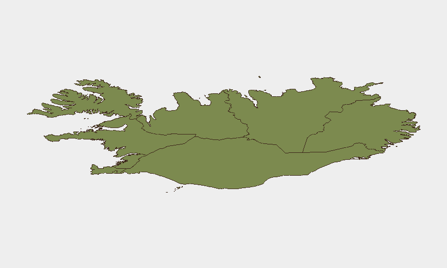
Situation Summary
Iceland remains among the world's most peaceful jurisdictions, with a composite threat score of 3 and no material security incidents reported in the past 48 hours. The U.S. Embassy in Reykjavík observed a routine Juneteenth holiday closure on 19 June, with no accompanying security advisories or elevated threat indicators. Regional risk is concentrated in the Capital Region, which accounts for the majority of tracked activity; all other regions remain in the low single-digits. The overall security trajectory is stable with no indicators of near-term deterioration.
Key Developments
- Nationwide – 19 June 2026: U.S. Embassy Reykjavík closed for Juneteenth National Independence Day observance; closure is administrative and not accompanied by any security alert or threat elevation.
No other verified security, civil-unrest, crime, infrastructure, or travel-risk incidents have been reported in Iceland during the 18–19 June window. Routine monitoring of Icelandic law enforcement, civil protection, and aviation authorities has yielded no alerts.
Highest-Risk Areas
The Capital Region (composite risk score 24) accounts for the overwhelming majority of GeoBit's tracked activity in Iceland and remains the primary focus area for duty-of-care teams with personnel or operations in the country. The Southern Peninsula (risk 12) and Southern Region (risk 11) register secondary levels of concern, likely reflecting higher population density and visitor throughput; however, these scores remain modest in absolute terms. The Westfjords, Northwestern, and Northeastern regions fall into the 6–8 range and present minimal tracked risk. No sub-regional escalation has been observed in the past 48 hours.
How GeoBit Would Assist
Security and risk teams operating in Iceland would benefit most from AOI Monitoring & Early Warning services configured for the Capital Region and secondary population centers, enabling persistent watch for emerging civil unrest, infrastructure disruptions, or anomalous actor activity. Intel Sweep and multi-language OSINT fusion across Icelandic media, law enforcement statements, and social channels would provide real-time corroboration of any reported incidents and early signals of deterioration. Routing & Network Analysis would support contingency planning for personnel movement, while satellite and imagery analysis could track infrastructure or port-area developments relevant to supply chains or asset security.
7-Day Outlook
No near-term escalation in threat level is anticipated. Seasonal factors (summer tourism, extended daylight) and Iceland's structural stability suggest a continuation of the current low-risk baseline. Monitoring should remain routine; no surge in staffing or asset repositioning is warranted at this time unless external geopolitical events materially shift regional stability in Nordic or North Atlantic theaters.
Report Date: 19 June 2026
Analyst: GeoBit Senior Analyst, Iceland Desk
Classification: Corporate—Unrestricted Distribution
Highest-Risk Areas — Ranked
| # | State / Region | Risk |
|---|---|---|
| 1 | Capital Region | 24 |
| 2 | Southern Peninsula | 12 |
| 3 | Southern Region | 11 |
| 4 | Eastern Region | 10 |
| 5 | Western Region | 9 |
| 6 | Westfjords Region | 8 |
| 7 | Northwestern Region | 7 |
| 8 | Northeastern Region | 6 |
Sources
Previous Daily Briefs
A new Iceland brief is written every day — each with its own risk map and downloadable CSV. Here's the last week; use the calendar to go further back.
📅 Browse every day by calendar →
Highlighted days have a brief. Tap a day for that day's map & analysis, or “csv” for that day's dataset ($5).