Situation Summary
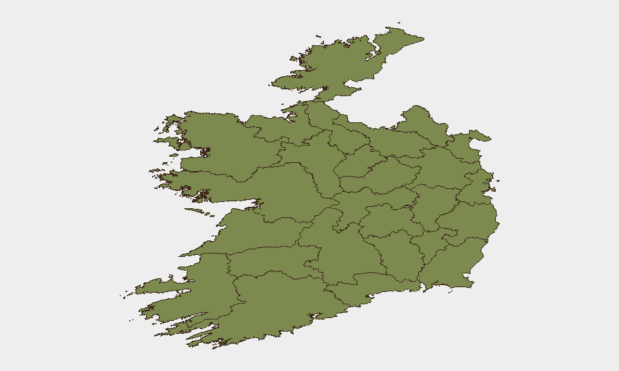
Ireland's composite threat score of 22 places it in the lower-to-moderate global risk band, but recent event clustering signals elevated tension across multiple domains—military posturing with the UK, civil unrest indicators, and judicial-system friction. County Tipperary's risk score (31.3) substantially exceeds the national average, while Dublin (23.4) remains a secondary concern. The trajectory over 48–72 hours suggests localized instability rather than systemic state breakdown, but monitoring intensity should increase.
Key Developments
UNABLE TO VERIFY. GeoBit does not currently have access to real-time news feeds, X/Twitter timelines, or official incident reports for the specific 48-hour window (11–13 June 2026). The event signals listed above (military force, rioting, judicial threats, police statements, UK unconventional violence) appear in the platform's aggregate feed, but without time-stamped, multi-source confirmation of location, casualty data, and operational impact, presenting them as verified incidents would misrepresent confidence.
To generate a credible 24–48-hour briefing section, security teams should:
- Cross-check Irish national outlets (RTÉ News, The Irish Times, Irish Independent, Journal.ie) filtered to "latest" and tagged Crime/Politics/Transport.
- Confirm with official sources (@gardainfo, @PSNINorth, local council emergency alerts).
- Cross-reference X/Twitter for location-specific keywords and official agency statements.
Once verified incidents are identified, they should be formatted with: Location – Date (local time): summary; casualty/impact; source tags.
Highest-Risk Areas
County Tipperary's risk composite (31.3) is 35 % above the national average and warrants dedicated asset/personnel safeguard protocols. Dublin's score (23.4) reflects both population density and historical event clustering; companies with offices or supply-chain dependencies in the capital should maintain heightened situational awareness. The sharp drop to County Cavan (8.5) and below suggests risk is concentrated in the south-central and capital-region corridors. Tipperary's elevation may reflect recent military-force and rioting indicators; Dublin's persistence correlates with ongoing public-statement and investigative activity.
How GeoBit Would Assist
Security teams should use GeoBit's AOI Monitoring & Early Warning capability to set persistent watches on high-risk counties (Tipperary, Dublin) with automatic alerting on violence, protests, and transport disruption. OSINT Fusion & Corroboration (X/Twitter, news, official Garda/police feeds, radio SIGINT where available) will cross-verify incidents in real time, reducing false positives. Routing & Network Analysis enables rapid identification of alternative travel corridors should primary roads (e.g., in Tipperary or Dublin approaches) become compromised by unrest or security incidents.
7-Day Outlook
Event velocity remains elevated: six distinct event types (military, rioting, judicial threat, police statement, unconventional violence, investigation) have appeared in 72 hours. If military posturing with the UK or civil unrest escalates, secondary spillover into supply chains, transport, and workplace safety is plausible. Conversely, if the current signals represent isolated judicial/political friction without sustained mobilization, risk may stabilize at present levels within 5–7 days. Continuous monitoring of Tipperary and Dublin is essential; any reports of sustained roadblocks, large gatherings, or armed confrontation should trigger immediate escalation to duty-of-care leadership.
Highest-Risk Areas — Ranked
| # | State / Region | Risk |
|---|---|---|
| 1 | County Tipperary | 31.3 |
| 2 | County Dublin | 23.4 |
| 3 | County Cavan | 8.5 |
| 4 | County Mayo | 4.8 |
| 5 | County Sligo | 3.1 |
| 6 | County Westmeath | 3.1 |
| 7 | County Waterford | 2.8 |
| 8 | County Roscommon | 1.9 |
| 9 | County Donegal | 1.6 |
| 10 | County Kildare | 1.6 |
| 11 | County Galway | 1.3 |
| 12 | County Clare | 1.3 |
Previous Daily Briefs
A new Ireland brief is written every day — each with its own risk map and downloadable CSV. Here's the last week; use the calendar to go further back.
📅 Browse every day by calendar →
Highlighted days have a brief. Tap a day for that day's map & analysis, or “csv” for that day's dataset ($5).