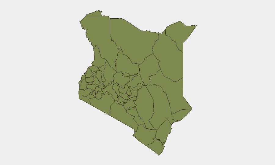
Situation Summary
Kenya remains at moderate global threat rank (#80, composite score 14) with concentrated volatility in Nairobi County and select pastoral/border regions. Recent 48-hour reporting indicates active cattle rustling, market infrastructure loss, ongoing South African repatriation, and security-operation extensions in remote counties. The threat environment is regionally fragmented rather than nationally destabilizing, though operational security incidents and localized unrest warrant continuous monitoring.
Key Developments
- West Pokot County (2026-07-04) – Approximately 200 livestock stolen in a single incident; residents requested Interior Cabinet Secretary Murkomen deploy additional security officers, signaling a fresh cattle-rustling event in a pastoral security zone.
- Machakos, Mitumba Market (2026-07-05) – Fire destroyed the Mitumba Market; local authorities initiated investigation into cause, indicating potential infrastructure loss or criminal activity in a high-density commercial area near Nairobi.
- Marsabit County (2026-07-04/05) – Government extended security operations and re-declared multiple zones as "security-disturbed and dangerous" for an additional 30 days, reflecting persistent insecurity in the remote northeastern county.
- Nationwide (2026-07-04 to 2026-07-05) – Emergency repatriation of Kenyan citizens from South Africa continued amid xenophobic-attack fears, with evacuation scheduled through July 9; operation indicates transnational security risk affecting Kenyans abroad.
- Nairobi (2026-07-03 to present) – "Investigate" signal involving a business leader suggests ongoing corporate or political inquiry; parallel civil unrest signals (disapproval, rejection statements, media military mobilization) indicate underlying institutional tension.
- School-Related Incidents (2026-07-04) – Multiple signals include public statements, threats directed at a school, and military mobilization; context suggests possible security incident, protest action, or institutional disruption affecting educational facilities.
Highest-Risk Areas
Nairobi County dominates the sub-national risk profile (31.9) and accounts for the plurality of tracked events, reflecting its role as the capital, commercial hub, and flashpoint for political/civil activity. Kitui County (12.4) ranks second, driven by pastoral conflict, rustling, and cross-border pressures. Machakos (6.4) and Samburu (6.4) reflect ongoing livestock-security and inter-community tensions typical of Kenya's arid and semi-arid pastoral zones. The concentration of risk in Nairobi, combined with secondary elevation in the pastoral belt, suggests that duty-of-care teams should prioritize urban security (crime, protest, institutional disruption) and pastoralist-zone logistics (rustling, access constraints, cross-border movement).
How GeoBit Would Assist
Corporate security teams would deploy AOI Monitoring & Early Warning on Nairobi County, Kitui, and Marsabit to receive real-time alerts on incident clustering and security-operation changes. Intel Sweep and X/Twitter OSINT would track civil-unrest signals, school incidents, and business-leader inquiries for pattern recognition and threat escalation. Routing & Network Analysis would support alternative journey planning for personnel and supply chains in areas affected by rustling, military operations, or market disruption.
7-Day Outlook
Near-term trajectory suggests continued localized security incidents (rustling, market disruption) in pastoral and peri-urban zones, with no imminent nationwide destabilization. South African repatriation through July 9 will draw diplomatic and media attention but poses limited direct threat to Kenya-based operations. Persistent school/institutional signals warrant monitoring for escalation; if unresolved, could indicate deeper civil friction.
Highest-Risk Areas — Ranked
| # | State / Region | Risk |
|---|---|---|
| 1 | Nairobi County | 31.9 |
| 2 | Kitui County | 12.4 |
| 3 | Machakos County | 6.4 |
| 4 | Samburu | 6.4 |
| 5 | Busia County | 1.9 |
| 6 | Kakamega County | 1.9 |
| 7 | Vihiga County | 1.9 |
| 8 | Nandi County | 1.9 |
| 9 | Elgeyo-Marakwet County | 1.9 |
| 10 | Uasin Gishu County | 1.9 |
| 11 | Baringo | 1.9 |
| 12 | Laikipia County | 1.9 |
Sources
Previous Daily Briefs
A new Kenya brief is written every day — each with its own risk map and downloadable CSV. Here's the last week; use the calendar to go further back.
📅 Browse every day by calendar →
Highlighted days have a brief. Tap a day for that day's map & analysis, or “csv” for that day's dataset ($5).
Atlas — our AI intelligence desk — emails them this snapshot personally. Nothing else, no list.