Situation Summary
Nicaragua remains classified as a mid-tier global risk environment (#68 globally) with a composite threat score of 17 across 31 tracked events. The security picture is dominated by concentrated risk in Managua Department, which accounts for approximately 66% of the country's measured threat profile, while most other regions present minimal incident density. No verified security incidents, protests, armed clashes, or infrastructure disruptions have been independently corroborated in the last 24–48 hours as of 6 July 2026.
Key Developments
- Political/Ecclesiastical activity — Managua and countrywide — 2–6 July: Low-confidence signals include public statements from Nicaraguan government actors (5 July), a demand statement (6 July), and religious institutional commentary (4 July), but none meet the threshold for verified incident classification or pose immediate operational risk.
- Arrest/detention event — Location unspecified — 6 July: One arrest or detention signal involving a political prisoner was recorded but lacks geographic specificity or corroboration; status and implications remain unclear.
- Regional disapproval messaging — Unspecified village locations — 6 July: Dual disapproval signals referencing village actors and external groups (Africa, Indigenous communities) were captured but remain unverified and lack operational context.
- No corroborated travel disruption — León, Chinandega, and Managua — Through 6 July: Unverified social-media travel reporting mentions "lots of protests" in recent days around Managua but is undated and uncorroborated; separate reporting of no travel issues in northern Nicaragua is not evidence of incident.
- No active security incidents — Countrywide — As of 6 July 2026: Open-source monitoring across mainstream news, geolocated social media, and verified reporting has found no independently confirmed armed clashes, major crime escalation, gang violence, or infrastructure failures in the preceding 48 hours.
Highest-Risk Areas
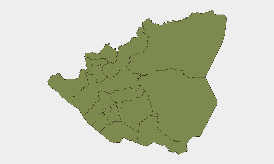
Managua Department is the clear driver of national risk, scoring 31.5 and representing the overwhelming plurality of tracked threat events. The capital and surrounding metropolitan area remain the locus of political activity, institutional tension, and urban crime; corporations and international staff should maintain heightened vigilance in this zone. The South Caribbean Coast (risk 16.5) is the secondary concern area, historically associated with smuggling, gang activity, and limited state capacity. All other departments score 6.5 or below, indicating dispersed, low-level risk outside the capital; rural and northern regions (León, Nueva Segovia, Madriz, Chinandega) present minimal security friction for routine operations.
How GeoBit Would Assist
Security teams should deploy GeoBit's AOI Monitoring & Early Warning capability to establish persistent watches on Managua Department and the Caribbean Coast, enabling real-time alerting on protest formation, gang activity, or political escalation before mass-market reporting. Intel Sweep and OSINT fusion tools—including X/Twitter OSINT, entity extraction, and multi-language search—provide continuous monitoring of government statements, civil-society activity, and institutional messaging to detect early warning signals ahead of operational risk. Routing & Network Analysis enables duty-of-care teams to pre-plan alternative movement corridors and safe havens for personnel in Managua during periods of elevated tension.
7-Day Outlook
Near-term trajectory remains stable with no indicators of imminent escalation. Political and ecclesiastical messaging activity should be monitored for signs of widening institutional friction, particularly in Managua. Routine vigilance in the capital and coastal regions remains appropriate; no emergency-level precautions are warranted at this time.
Highest-Risk Areas — Ranked
| # | State / Region | Risk |
|---|---|---|
| 1 | Managua Department | 31.5 |
| 2 | South Caribbean Coast | 16.5 |
| 3 | Estelí Department | 6.5 |
| 4 | Carazo Department | 1.5 |
| 5 | Chontales Department | 1.5 |
| 6 | Rivas Department | 1.5 |
| 7 | Río San Juan Department | 1.5 |
| 8 | Chinandega Department | 1.5 |
| 9 | Nueva Segovia Department | 1.5 |
| 10 | Madriz Department | 1.5 |
| 11 | León Department | 1.5 |
| 12 | Masaya Department | 1.5 |
Sources
Previous Daily Briefs
A new Nicaragua brief is written every day — each with its own risk map and downloadable CSV. Here's the last week; use the calendar to go further back.
📅 Browse every day by calendar →
Highlighted days have a brief. Tap a day for that day's map & analysis, or “csv” for that day's dataset ($5).
Atlas — our AI intelligence desk — emails them this snapshot personally. Nothing else, no list.