Situation Summary
Oman faces a sharp escalation in maritime violence and interstate tensions as of 11 June 2026, driven by U.S. enforcement of Iran sanctions in the Gulf of Oman and Strait of Hormuz and an Iranian response involving reported missile and drone strikes across a 2,000 km arc. Multiple commercial tankers have been disabled or attacked in waters adjacent to Oman's northern coast within 48 hours, with Indian-crewed vessels specifically targeted; at least three Indian seafarers have been killed. While Oman's composite threat score remains low (40/100), the sub-national ranking is dominated by Al Wusta Governorate (31.3), and the current maritime crisis directly threatens shipping lanes, port operations, and crew safety in northern coastal governorates.
Key Developments
- Gulf of Oman, off Oman's northern coast – 10 June 2026: U.S. Central Command disabled M/T *Jalveer* (Guinea-Bissau flag) with two missile strikes into the engine room after the vessel reportedly ignored orders; the strike was justified as enforcement of Iran sanctions and marks the second commercial tanker disabled in these waters in 48 hours.
- Sohar approaches, off Oman's northern coast – 10 June 2026: A tanker experienced a major engine-room fire near Sohar port; one crew member confirmed dead, two missing, triggering maritime emergency response amid heightened regional tensions.
- Shinas Port, North Al Batinah Governorate – 10–11 June 2026: The Indian Embassy in Muscat confirmed an incident involving a vessel at Shinas Port and reported close coordination with Omani authorities, hours after another Indian-linked ship attack off Oman.
- Gulf of Oman–Strait of Hormuz corridor – 10–11 June 2026: A third vessel with Indian crew reported under attack in or near the Strait of Hormuz approaches; Indian maritime unions flagged significant safety risks for Indian seafarers operating near Oman.
- Regional air and maritime zone – 11 June 2026: State and social media accounts reported Iranian missile and drone attacks spanning a 2,000 km arc from the Gulf of Oman to Cyprus, alongside Iranian claims of "full closure" of the Strait of Hormuz; while U.S. sources state commercial traffic continues, escalatory strikes increase operational and travel risk for shipping near Oman's offshore waters.
- Oman (domestic) – 11 June 2026: GeoBot signals recorded unconventional violence events, a demonstration/rally, military force actions, and a reduction in relations, indicating domestic tension aligned with the maritime crisis.
Highest-Risk Areas
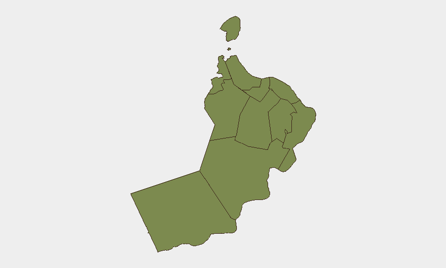
Al Wusta Governorate dominates the national risk profile at 31.3, reflecting its southern maritime exposure and strategic position. However, the current acute threat is concentrated in northern coastal governorates: Musandam (3.8), Al Batinah North (3.1), and Muscat (3.1) are now the operational centers of the maritime emergency. Al Batinah North specifically—home to Shinas and Sohar ports—is experiencing active incidents and coordination between Omani authorities and foreign missions. Muscat, as the diplomatic and capital hub, is the locus of government response and international liaison.
How GeoBit Would Assist
Security teams should deploy Maritime & Aviation tracking and AOI Monitoring & Early Warning with persistent watches on the Gulf of Oman–Strait of Hormuz corridor and Omani ports (Sohar, Shinas, Muscat) to detect vessel incidents, military activity, and crew distress in near-real time. Intel Sweep and multi-language OSINT fusion (including social media, regional news, and maritime union alerts) provide early signals of Indian crew targeting, Iranian/U.S. escalation, and port disruptions. Routing & Network Analysis enables corporate operations to model alternative maritime and air routes and assess supply-chain risk for goods transiting Oman.
7-Day Outlook
Escalation is likely to continue through mid-June as Iranian and U.S. strikes reinforce each other and blockade enforcement intensifies. Commercial traffic in the Gulf of Oman will remain under material risk; crew safety concerns will deter Indian and other regional maritime workers. Port operations in Al Batinah North and Muscat may face congestion, delays, or temporary closures pending incident resolution and security reassessment by vessel operators and insurers.
Highest-Risk Areas — Ranked
| # | State / Region | Risk |
|---|---|---|
| 1 | Al Wusta Governorate | 31.3 |
| 2 | Musandam Governorate | 3.8 |
| 3 | Muscat Governorate | 3.1 |
| 4 | Al Batinah North Governorate | 3.1 |
| 5 | Ash Sharqiyah South Governorate | 1.5 |
| 6 | Al Buraymi Governorate | 1.3 |
| 7 | Ad Dhahirah Governorate | 1.3 |
| 8 | Al Batinah South Governorate | 1.3 |
| 9 | Ad Dakhiliyah Governorate | 1.3 |
| 10 | Ash Sharqiyah North Governorate | 1.3 |
| 11 | Dhofar Governorate | 1.3 |
Sources
Previous Daily Briefs
A new Oman brief is written every day — each with its own risk map and downloadable CSV. Here's the last week; use the calendar to go further back.
📅 Browse every day by calendar →
Highlighted days have a brief. Tap a day for that day's map & analysis, or “csv” for that day's dataset ($5).