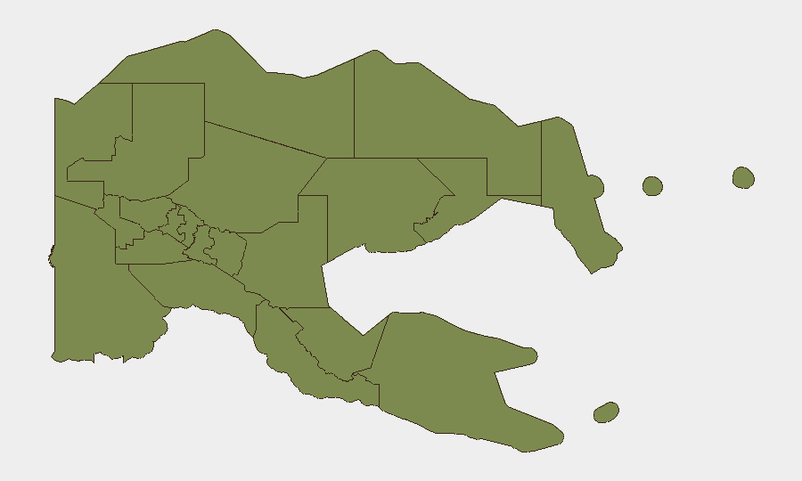
Situation Summary
Papua New Guinea faces persistent high crime and localized security disruptions across multiple provinces, with elevated risk concentrated in maritime zones and urban centers. Recent events include an ongoing maritime search-and-rescue operation with 12 confirmed deaths, active police enforcement operations targeting armed violence, and short-term infrastructure disruptions. The country's composite threat score remains moderate (18 globally), but sub-national variation is pronounced, with Milne Bay presenting significantly elevated risk compared to most other regions.
Key Developments
- East New Britain & New Ireland Provinces – 24 July 2026 – Maritime search-and-recovery operations near Tigak Group of Islands have recovered four additional bodies, bringing confirmed death toll to 12 from capsized boats; Kavieng Provincial Hospital morgue receiving remains and operation entering final phase.
- East New Britain Province – 18–24 July 2026 – Ongoing search for 27 people reported missing since 18 July after vessel capsizing near Pidgeon Island; Royal Papua New Guinea Constabulary conducting daily marine and aerial search operations with two surviving skippers recovered and formal inquiry initiated.
- Angoram, East Sepik Province – 26 July 2026 – Police apprehended suspect on 23 July during routine patrol allegedly linked to 2025 wire-catapult attack; suspect currently detained at Angoram Police Station awaiting formal charges, indicating localized tension around violent crime prosecution.
- Lae, Morobe Province – 27 July 2026 – Police operation conducted at Poaba-Egatang following incident at Unitech Girls Dormitory (26 July); multiple houses destroyed and alleged offenders remain at large, signaling localized security response and potential for further community disruption.
- Goroka, Eastern Highlands Province – 27 July 2026 – Goroka Airport closed temporarily on morning of 27 July and subsequently reopened same day; cause not publicly detailed, but indicates short-term air logistics disruption in regional hub.
- Kundiawa, Simbu Province – Late July 2026 – Barawagi Correctional Institution facing severe water shortages due to prolonged El Niño conditions; local leaders also reporting emerging food security concerns in rural communities as rainfall deficit persists.
Highest-Risk Areas
Milne Bay Province dominates the sub-national risk ranking with a composite score of 31.3—nearly three times higher than the next-ranked region (National Capital District, 11.3). The remaining provinces cluster at significantly lower risk (1.3). Milne Bay's elevated risk reflects maritime vulnerability, logistics isolation, and historical patterns of organized crime; National Capital District's secondary risk is driven by urban crime concentration in Port Moresby. All other provinces show minimal tracked threat signals, though localized incidents (maritime disasters, police operations, infrastructural disruptions) can create temporary elevated risk in specific localities.
How GeoBit Would Assist
Security teams operating in Papua New Guinea should employ AOI Monitoring & Early Warning to track Milne Bay, Port Moresby, and key transport corridors (Goroka, Lae) for emerging incidents; Maritime & Aviation tracking to monitor vessel and flight schedules during search-and-rescue operations or infrastructure disruptions; and Intel Sweep with cross-verified news fusion to distinguish routine criminal activity from escalating organized violence or political instability. Routing & Network Analysis would provide alternative transport and supply-chain planning during localized police operations or airport closures.
7-Day Outlook
Maritime search operations are expected to wind down as recovery efforts near completion; however, underlying urban crime risk in Port Moresby and logistics vulnerabilities in provincial air hubs remain baseline concerns. Police operations in Enga and Morobe are likely to continue at current operational tempo, with potential for localized movement disruptions. El Niño-driven water and food insecurity may trigger secondary displacement or resource-competition incidents in rural highlands provinces over the next 7–14 days.
Highest-Risk Areas — Ranked
| # | State / Region | Risk |
|---|---|---|
| 1 | Milne Bay | 31.3 |
| 2 | National Capital District | 11.3 |
| 3 | Eastern Highlands | 1.3 |
| 4 | Gulf | 1.3 |
| 5 | Madang | 1.3 |
| 6 | Manus | 1.3 |
| 7 | West New Britain | 1.3 |
| 8 | New Ireland | 1.3 |
| 9 | East New Britain | 1.3 |
| 10 | Morobe | 1.3 |
| 11 | Central | 1.3 |
| 12 | Oro | 1.3 |
Sources
Previous Daily Briefs
A new Papua New Guinea brief is written every day — each with its own risk map and downloadable CSV. Here's the last week; use the calendar to go further back.
📅 Browse every day by calendar →
Highlighted days have a brief. Tap a day for that day's map & analysis, or “csv” for that day's dataset ($5).
Atlas — our AI intelligence desk — emails them this snapshot personally. Nothing else, no list.