Situation Summary
Papua New Guinea faces acute localized violence in the Highlands provinces, where tribal fighting and criminal activity dominate the security landscape. A major outbreak of tribal clashes near Porgera (Enga Province) on 10–11 October resulted in at least 30 deaths and hundreds of displaced civilians; concurrent incidents of lethal violence in Northern Province and ongoing crime-gang activity across the National Capital District and Eastern Highlands indicate persistent instability. The national composite threat ranking remains at #49 globally, with crime and gang violence as primary drivers; the trajectory is volatile and heavily dependent on escalation or de-escalation of Highlands tribal disputes.
Key Developments
- Porgera Valley, Enga Province (10–11 October 2026): Tribal fighting killed at least 30 people, displaced hundreds of women and children, and burned residential areas. Police reported more than 100 high-powered weapons in active use, approximately 300 shots fired, and authorized lethal force against armed combatants. An overnight curfew was imposed and alcohol sales banned; at least two officials were reportedly killed.
- Porgera Valley, Enga Province (11–12 October 2026): Police escalated security operations to remove illegal miners and secured the Porgera gold mine highway with deployed security teams in response to continued armed activity and weapons presence in the valley.
- Bareji High School, Northern Province (5 October 2026): A female student's death by stabbing triggered retaliatory violence; relatives allegedly burned a boys' dormitory, damaged administrative and staff buildings, and armed participants discharged firearms. The incident forced 109 Grade 10 students to miss national examinations.
- Hayapuga, Provincial Location (30 September 2026): Local residents surrendered 38 high-powered firearms under a provincial amnesty program; authorities announced enforcement action would follow for non-participants.
- Multiple Locations (30 September 2026): PNG Police arrested one suspected drug smuggler and six alleged leaders of tribal fights as part of a criminal-activity operation.
- Hagen Urban Association vs. Enga Students Union (28 September 2026): Violent clashes occurred before 2 October; a peace agreement was later negotiated.
- Hela Province (2 October 2026): A man suspected of murdering a Hela Province resident surrendered to police.
- Fire Activity (29 September 2026): NASA FIRMS detected 85 active fire hotspots within ~25 km with 1,320 MW total fire radiative power, indicating possible land clearing or accidental wildfire activity.
Highest-Risk Areas
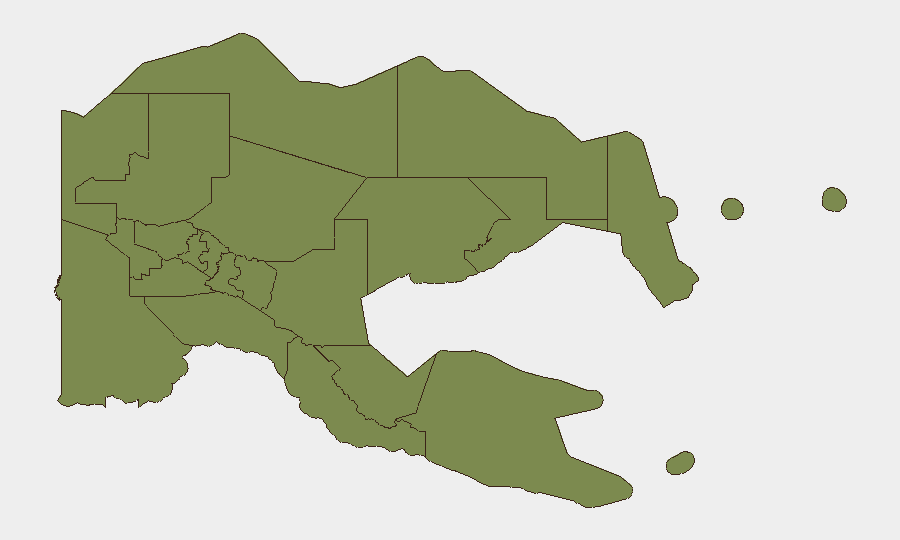
Southern Highlands, Enga, Hela, and Eastern Highlands provinces form a contiguous high-risk zone with composite threat scores exceeding 90. These Highlands regions are epicenters for tribal fighting, unauthorized weapons possession, illegal mining, and gang activity; Porgera Valley (Enga) exemplifies the severity—armed clashes, hundreds of combatants, and police-authorized lethal force. The National Capital District (Port Moresby), while ranked seventh, remains critical due to sustained urban crime and gang presence. Secondary concern attaches to Simbu and Morobe, where criminal networks and communal violence persist.
How GeoBit Would Assist
A security team managing personnel or assets in PNG should employ AOI Monitoring & Early Warning on the Porgera Valley, Enga Province, and surrounding Highlands districts to detect escalation signals in real time. Network & Actor Analysis applied to tribal leaders, police command, and mining-security contacts would provide situational context and warning of truce breakdowns. GIS & Spatial Analysis combined with Routing & Network Analysis enables identification of safe corridors and alternative transport routes around active conflict zones, reducing duty-of-care exposure for traveling staff.
7-Day Outlook
The Porgera outbreak is likely to remain volatile; police enforcement operations and weapons seizures may intensify, or a negotiated settlement may emerge within days. The Highlands' endemic tribal and criminal dynamics suggest sustained elevated risk through the month. Organizations with personnel in Enga, Eastern Highlands, or Southern Highlands should maintain heightened alert posture and contingency evacuation plans.
Highest-Risk Areas — Ranked
| # | State / Region | Risk |
|---|---|---|
| 1 | Southern Highlands | 98 |
| 2 | Enga | 96 |
| 3 | Hela | 94 |
| 4 | Eastern Highlands | 92 |
| 5 | Western Highlands | 90 |
| 6 | Jiwaka | 88 |
| 7 | National Capital District | 85 |
| 8 | Simbu | 82 |
| 9 | Morobe | 78 |
| 10 | East Sepik | 72 |
| 11 | Sandaun | 68 |
| 12 | Oro | 66 |
Sources
Previous Weekly Briefs
A new Papua New Guinea brief is written every Monday, covering the week — each with its own risk map and downloadable CSV. Use the calendar to go further back.
- October 5, 2026
- September 28, 2026
- September 21, 2026
- September 14, 2026
- September 8, 2026
- September 2, 2026
- August 31, 2026
📅 Browse past briefs by calendar →
Highlighted days have a brief. Tap a day for that day's map & analysis, or “csv” for that day's dataset ($5).
Atlas — our AI intelligence desk — emails them this snapshot personally. Nothing else, no list.