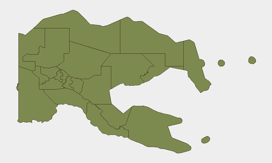
Situation Summary
Papua New Guinea faces a compound maritime crisis concentrated in island and coastal zones, with multiple concurrent search-and-rescue operations and elevated risk of small-craft incidents across the Eastern Region. A cluster of boat capsizes—primarily in East New Britain, New Ireland, and Milne Bay—has resulted in at least 12 confirmed deaths, four identified as Chinese nationals, and 27+ persons still missing as of late Friday. A separate cross-border incident involving the alleged shooting of an Indonesian fishing-boat captain near Daru (Western Province) has activated diplomatic attention and raised bilateral tensions. The broader security environment remains stable relative to historical baselines, but maritime travel hazard and consular coordination are now primary duty-of-care concerns.
Key Developments
- Multiple boat capsizes, East New Britain & New Ireland (ongoing through late Friday): Two boats capsized between Duke of York Islands and Kokopo with 27 missing and 12 bodies recovered; separate incident off northern New Ireland with six missing; search-and-recovery operations remain active by RPNGC and Provincial Disaster Office.
- Dinghy capsize with fatalities, Lihir Island, New Ireland Province (reported Sunday/current week): Small-craft incident off Lihir resulted in multiple deaths, including four Chinese nationals confirmed by Chinese embassy; underscores heightened offshore travel risk in New Ireland waters and active consular engagement.
- Maritime SAR suspension, Nissan Island–Buka route, Bougainville (Friday status): Autonomous Bougainville Government halted sea search operations for a vessel with three missing (since 18 July) due to severe weather and wind warnings from National Weather Service and Maritime Rescue Co-ordination Centre; broadcast alerts to vessels ongoing.
- Dinghy capsize with passengers missing, Makamaka, Milne Bay (ongoing through late Friday): Vessel carrying a casket capsized offshore Alotau District with approximately eight passengers missing; recovery operations in progress.
- Cross-border incident—alleged shooting, Daru, Western Province (Saturday status): Indonesian Consul in Vanimo reported seeking official PNG clarification on a shooting that allegedly injured an Indonesian fishing-boat captain near Daru; issue remains unresolved and carries potential for bilateral frictions.
- Cluster severity: At least 53+ persons missing or dead across five concurrent maritime incidents concentrated in Eastern Region provinces within a 5-day window; search operations continuing under deteriorating weather conditions.
Highest-Risk Areas
Milne Bay Province ranks significantly above all other regions (31.3 vs. 1.3 baseline), driven by the current maritime disaster cluster and remote geography that complicates rescue operations. East New Britain and New Ireland—though not algorithmically distinguished in the current ranking—are operationally the epicenters of active search operations and fatality recovery, with multiple concurrent incidents and Chinese national casualties elevating consular and international attention. Western Province's cross-border friction with Indonesia near Daru, though isolated, introduces diplomatic and law-enforcement complexity. Coastal and island-dependent zones across these three provinces should be treated as highest operational priority for personnel safety and asset movement over the next 7–14 days.
How GeoBit Would Assist
Security teams should deploy Maritime & Aviation tracking and AOI Monitoring & Early Warning to establish persistent watch on high-traffic shipping lanes in East New Britain, New Ireland, and Milne Bay, with alerting linked to weather feeds and vessel-movement anomalies. Environmental & Health monitoring can integrate National Weather Service warnings and Maritime Rescue Co-ordination Centre bulletins to anticipate SAR suspension windows and inform duty-of-care routing decisions. Network & Actor Analysis applied to consular and provincial disaster-office communications can provide early indication of diplomatic escalation around the Daru incident and inform cross-border travel risk assessments.
7-Day Outlook
Weather conditions are expected to remain unsettled through the coming week, with strong winds and rough seas likely to sustain maritime travel restrictions and hamper search operations in Bougainville and outlying waters. Recovery and casualty identification will continue to dominate PNG authorities' maritime focus; consular coordination—especially with China—will remain elevated. No imminent wider security deterioration is forecast, but maritime-incident frequency and duty-of-care complexity will likely persist unless conditions improve substantially.
Highest-Risk Areas — Ranked
| # | State / Region | Risk |
|---|---|---|
| 1 | Milne Bay | 31.3 |
| 2 | Eastern Highlands | 1.3 |
| 3 | Gulf | 1.3 |
| 4 | Madang | 1.3 |
| 5 | Manus | 1.3 |
| 6 | West New Britain | 1.3 |
| 7 | New Ireland | 1.3 |
| 8 | East New Britain | 1.3 |
| 9 | Morobe | 1.3 |
| 10 | National Capital District | 1.3 |
| 11 | Central | 1.3 |
| 12 | Oro | 1.3 |
Sources
Previous Daily Briefs
A new Papua New Guinea brief is written every day — each with its own risk map and downloadable CSV. Here's the last week; use the calendar to go further back.
📅 Browse every day by calendar →
Highlighted days have a brief. Tap a day for that day's map & analysis, or “csv” for that day's dataset ($5).
Atlas — our AI intelligence desk — emails them this snapshot personally. Nothing else, no list.