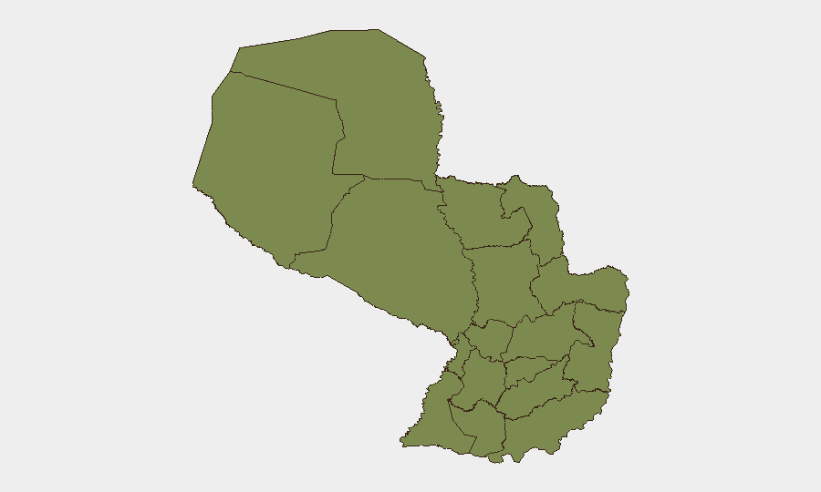
Situation Summary
Paraguay remains a stable, low-threat environment (global rank #91) with a composite threat score of 13 across 44 tracked events. The country's overall security posture reflects limited active conflict, organized crime activity concentrated in specific border and frontier zones, and functional state institutions. Risk is heavily localized to the remote Chaco and northeastern border regions rather than distributed across urban centers.
Key Developments
No discrete security incidents have been corroborated in Paraguay over the last 24–48 hours. GeoBit's event feed and live web research (as of 3 July 2026) show no recent attacks, protests, criminal incidents, or policy changes meeting threshold for inclusion in a current developments brief. Monitoring of news wires, social media, and regional OSINT continues; any material events will be flagged in real-time alerts to subscribed users.
Highest-Risk Areas
Presidente Hayes Department drives national risk, with a composite score of 31.8—nearly 2.5 times the country average. This remote, sparsely populated Chaco frontier zone is characterized by land-use disputes, informal settlement, limited law enforcement presence, and historical cross-border trafficking (drugs, contraband, livestock). Canindeyú Department in the northeast (risk 12.3) faces similar pressures: porous borders with Brazil and Argentina, agrarian conflict, and organized-crime transit routes. All other departments score 1.8, indicating either minimal activity or effective containment. Risk concentration in these two zones reflects Paraguay's geography: frontier instability rather than systemic state failure or urban violence.
How GeoBit Would Assist
Organizations with personnel or assets in Presidente Hayes or Canindeyú should activate AOI (area-of-interest) monitoring & early warning on those departments to receive real-time alerts if threat events emerge. OSINT fusion across local news, social media, and radio SIGINT provides granular visibility into informal security threats (land disputes, cattle theft, smuggling) before they escalate. GIS & spatial analysis combined with alternative route/network planning enables security teams to identify safe corridors and avoid high-risk transit zones during supply runs or personnel movement, particularly in the Chaco.
7-Day Outlook
No material change in Paraguay's risk profile is anticipated over the next week. Seasonal conditions (winter in the Southern Hemisphere) may reduce informal border activity slightly. Continued monitoring of Presidente Hayes for land-tenure disputes and Canindeyú for cross-border trafficking remains prudent for duty-of-care teams; escalation remains possible but not imminent based on current signals.
Next Update: 4 July 2026 (or upon material event notification).
Highest-Risk Areas — Ranked
| # | State / Region | Risk |
|---|---|---|
| 1 | Presidente Hayes Department | 31.8 |
| 2 | Canindeyú Department | 12.3 |
| 3 | Concepción Department | 1.8 |
| 4 | San Pedro Department | 1.8 |
| 5 | Guairá Department | 1.8 |
| 6 | Amambay Department | 1.8 |
| 7 | Caaguazú Department | 1.8 |
| 8 | Alto Paraná Department | 1.8 |
| 9 | Caazapá Department | 1.8 |
| 10 | Itapúa Department | 1.8 |
| 11 | Boquerón | 1.8 |
| 12 | Alto Paraguay Department | 1.8 |
Sources
Previous Daily Briefs
A new Paraguay brief is written every day — each with its own risk map and downloadable CSV. Here's the last week; use the calendar to go further back.
📅 Browse every day by calendar →
Highlighted days have a brief. Tap a day for that day's map & analysis, or “csv” for that day's dataset ($5).