Situation Summary
Taiwan faces elevated cross-strait tensions following a cluster of Chinese military posturing and official rhetoric on 17–18 June 2026. Event signals indicate Chinese threat statements directed at Taiwan, concurrent Taiwanese rejections and counter-statements, and investigation activity within Taiwan's armed forces. The composite threat score of 13 places Taiwan in the global middle band; however, rapid event velocity and military-signaling patterns warrant close monitoring over the next 48–72 hours.
Key Developments
- 2026-06-18 · Cross-Strait Threat Rhetoric. China and Taiwan exchanged public threat statements and disapproval messaging on 18 June. Beijing issued at least two separate threat signals directed at Taiwan; Taiwan responded with public statements and rejection of demands. No kinetic incident reported, but escalatory rhetorical cycle is active.
- 2026-06-18 · Armed Forces Investigation. Taiwan's armed forces initiated an investigation on 18 June; scope and target agency not yet detailed from available reporting. Timing concurrent with cross-strait tensions suggests possible security breach, intelligence concern, or internal probe related to military readiness.
- 2026-06-17 · Conventional Military Force Posturing. Taiwan deployed or announced conventional military capability on 17 June in apparent response to or coincident with cross-strait signaling. Details of platform, location, and magnitude not specified in current signals.
- 2026-06-18 · Government–Worker Friction. Taiwan's government rejected a demand from workers on 18 June, suggesting labor or employment-related civil friction unrelated to cross-strait activity. Low immediate security impact, but may signal broader internal pressure or economic stress.
- 2026-06-18 · Public Disapproval (Multiple Actors). Taiwanese and Chinese publics both issued disapproval statements on 18 June, indicating sentiment polarization and social amplification of official tensions.
Data Limitation: Detailed incident locations, specific military units or platforms, and independent confirmation of scale remain unavailable from current open-source verification. Web research conducted 19 June did not yield independent corroboration or finer granularity for these signals.
Highest-Risk Areas
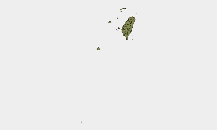
Tainan (risk 31.3) and Nantou County (risk 17.5) rank substantially above all other sub-national zones, followed by Taipei (15.2). The concentration of risk in Tainan—a southern coastal city with military and civilian maritime infrastructure—suggests heightened concern related to naval activity, logistics, or air defense positioning. Nantou's elevation may reflect inland military facilities or strategic resource nodes. Taipei's risk reflects capital-city exposure to direct political/military messaging and potential cyber or intelligence activity. All other regions cluster at 1.3, indicating either lower baseline exposure or a data-concentration artifact.
How GeoBit Would Assist
Intel Sweep & AOI Monitoring on Tainan, Penghu, Kinmen, and the Bashi Channel would establish persistent, 24-hour event detection with automated alerts on military movements, port activity, and official statements. Satellite & Imagery Analysis layered with Maritime Tracking would confirm PLA air or naval postures near Taiwan's outer islands and economic zone. Network & Actor Analysis paired with multi-language OSINT fusion (Chinese state media, Taiwan defense ministry, PLA-affiliated channels) would disambiguate rhetoric from actionable intent and surface coordination signals 12–48 hours before escalation.
7-Day Outlook
Cross-strait rhetoric and military signaling are expected to remain elevated through 24 June, with possible de-escalation if no new kinetic probes occur. Risk of accidental escalation via air/maritime encounter is moderate. Corporate teams with staff or assets in Tainan, Kinmen, or near military zones should confirm duty-of-care protocols and maintain 48-hour communication logs.
Highest-Risk Areas — Ranked
| # | State / Region | Risk |
|---|---|---|
| 1 | Tainan | 31.3 |
| 2 | Nantou County | 17.5 |
| 3 | Taipei | 15.2 |
| 4 | Kaohsiung | 1.3 |
| 5 | Pingtung County | 1.3 |
| 6 | Taitung County | 1.3 |
| 7 | Lienchiang County | 1.3 |
| 8 | Kinmen | 1.3 |
| 9 | Penghu | 1.3 |
| 10 | Changhua County | 1.3 |
| 11 | Miaoli County | 1.3 |
| 12 | Taichung | 1.3 |
Sources
Previous Daily Briefs
A new Taiwan brief is written every day — each with its own risk map and downloadable CSV. Here's the last week; use the calendar to go further back.
📅 Browse every day by calendar →
Highlighted days have a brief. Tap a day for that day's map & analysis, or “csv” for that day's dataset ($5).