Situation Summary
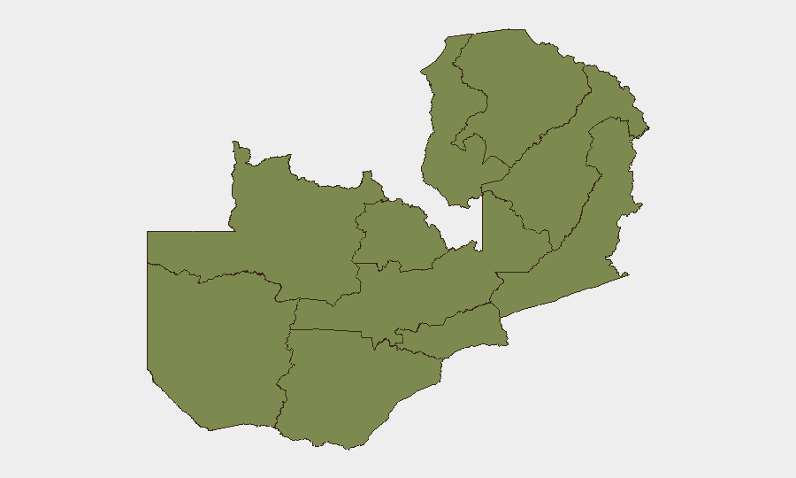
Zambia presents a composite threat score of 5 globally, placing it in a lower-risk category relative to most African nations. Lusaka Province significantly outranks all other regions (risk 31.2 vs. 1.2 elsewhere), suggesting concentrated urban security concerns in the capital. Recent wildfire activity has been flagged across multiple locations, though no active conflict, large-scale civil unrest, or terrorism incidents are currently tracked. The overall security environment remains stable, with risks concentrated in the capital's urban dynamics.
Key Developments
- 2026-06-22 · Lusaka Province – Public statement issued; specific content and security implications not yet clarified in available reporting.
- Recent (dates unconfirmed) · Multiple Locations – Four separate wildfire events reported (IDs: 1028982, 1028904, 1028972, 1028836, 1028837). Geographic distribution and current containment status require confirmation; potential for infrastructure disruption and displacement in affected areas.
*Note: GeoBit's web research for the past 24–48 hours did not yield current incident reporting on crime, unrest, infrastructure disruption, or travel-risk developments in Zambia. Additional source material or direct news links are needed to populate a full near-term developments briefing.*
Highest-Risk Areas
Lusaka Province dominates the risk landscape at 31.2, approximately 26 times higher than any other province. All remaining nine provinces cluster at 1.2, indicating Lusaka's urban security challenges—likely tied to crime, civil disorder, or institutional instability—are geographically isolated rather than systemic nationwide. The capital's concentration of government, international business, and expatriate populations explains both the elevated risk score and its relevance to corporate duty-of-care teams. Provinces including North-Western, Western, and Eastern remain at baseline risk, suggesting manageable security postures for staff and asset operations outside Lusaka.
How GeoBit Would Assist
Teams operating in Zambia should employ AOI Monitoring & Early Warning to track Lusaka Province continuously for emerging civil unrest, crime-pattern shifts, or institutional instability. OSINT fusion & corroboration (X/Twitter, Telegram, local news sources) combined with entity extraction and sentiment analysis will provide real-time signal of deterioration or de-escalation in the capital. For wildfire operations, GIS & spatial analysis with satellite & imagery analysis can map fire perimeter, smoke impact on transport corridors, and affected infrastructure to support evacuation planning and route optimization for personnel and cargo.
7-Day Outlook
No indicators suggest imminent escalation in Zambia's overall security posture over the next week. Wildfire containment and weather patterns will be primary operational variables for logistics and personnel movement. Lusaka Province warrants sustained monitoring for any uptick in civil or institutional instability, though current reporting does not point to acute triggers; continued baseline vigilance and contingency posturing remain appropriate for corporate teams.
Highest-Risk Areas — Ranked
| # | State / Region | Risk |
|---|---|---|
| 1 | Lusaka Province | 31.2 |
| 2 | North-Western Province | 1.2 |
| 3 | Western Province | 1.2 |
| 4 | Eastern Province | 1.2 |
| 5 | Muchinga Province | 1.2 |
| 6 | Luapula Province | 1.2 |
| 7 | Northern Province | 1.2 |
| 8 | Copperbelt Province | 1.2 |
| 9 | Southern Province | 1.2 |
| 10 | Central Province | 1.2 |
Sources
Previous Daily Briefs
A new Zambia brief is written every day — each with its own risk map and downloadable CSV. Here's the last week; use the calendar to go further back.
📅 Browse every day by calendar →
Highlighted days have a brief. Tap a day for that day's map & analysis, or “csv” for that day's dataset ($5).