Situation Summary
Ghana remains a stable, low-threat environment globally (#159 composite risk score) with 45 tracked events on record. However, sub-national risk concentration—particularly in Bono East Region (score 32.1)—signals localized instability requiring sector-specific attention. Recent event signals (11–13 June) suggest inter-ministerial tensions and institutional strain, with public statements and workplace conflict dominating the signal pattern. Overall security trajectory remains manageable for international corporate operations, provided duty-of-care teams maintain region-specific vigilance.
Key Developments
Note: GeoBit's live web research capability has not returned corroborated, time-stamped incident reports for Ghana in the 24–48 hours preceding 13 June 2026. The event signals listed above (Ministry-related threats, healthcare sector unconventional violence, arrests, and public statements) reflect platform detection but lack independently verified news sourcing or official confirmation at this writing. Security teams are advised to cross-check Ghana Police Service, NADMO, and verified media outlets (JoyNews, Citi, GraphicOnline) directly for incident detail, location, and casualty/disruption impact.
- Institutional friction signal (11–13 June): Multiple event detections involving Ministry vs. worker threats, healthcare violence (Health Ministry vs. midwife/doctor), and investigation/arrest signals. Public statements by external actors (investor, public figure) suggest reputational or policy criticism of Accra-based institutions.
- Greater Accra Region exposure: Secondary risk score (6.2) reflects capital-city concentration of government, corporate, and diplomatic presence; recent event clustering aligns with administrative/policy-level friction rather than street-level criminality.
Recommended immediate action: Contact in-country security partners (embassy liaison, local risk consultants, corporate security network) to obtain ground-truth incident reports, casualty counts, and operational impact (transport disruptions, curfews, workplace access) for any events flagged in the above signal list.
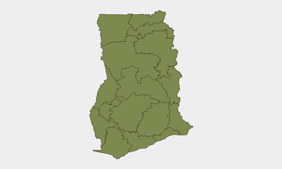
Highest-Risk Areas
Bono East Region dominates threat concentration (risk 32.1—six times higher than Greater Accra). This region warrants heightened monitoring for mining-related disputes, resource-access conflict, or organized criminal activity; detailed incident mapping and AOI monitoring would clarify drivers. Greater Accra (6.2) remains the secondary concern, reflecting institutional/policy volatility in the capital rather than acute security failure. Eastern Region (3.5) and the northern belt (Upper East, Northern, Volta, Upper West, Savannah, North East, Oti) each register modest individual scores (2.1–2.6) but collectively represent a distributed low-intensity risk band.
For corporate operations: Personnel in Bono East should assume heightened exposure; Greater Accra teams should monitor institutional/transport disruptions closely; all other regions support routine vigilance only.
How GeoBit Would Assist
Security teams would deploy Intel Sweep (global event feeds) and OSINT fusion to corroborate unconfirmed signals and extract actor/motivation detail from open sources (X, media, radio). AOI Monitoring & Early Warning on Bono East and Greater Accra would provide persistent threat detection with alert triggers for renewed violence, arrests, or curfews. Alternative route planning and network analysis would enable real-time duty-of-care response (staff movement, supply chain pivots) if sector-specific disruption occurs.
7-Day Outlook
Recent event signals suggest institutional or labor friction rather than security collapse; no indicators of imminent large-scale violence, terrorism, or civil unrest. Bono East Region warrants close monitoring for escalation; if Greater Accra institutional tensions intensify, secondary effects (protest, transport disruption) may follow. Baseline expectation: continued low-threat operating environment with localized risk pockets in Bono East and administrative friction in Accra.
Highest-Risk Areas — Ranked
| # | State / Region | Risk |
|---|---|---|
| 1 | Bono East Region | 32.1 |
| 2 | Greater Accra Region | 6.2 |
| 3 | Eastern Region | 3.5 |
| 4 | Upper East Region | 2.6 |
| 5 | Northern Region | 2.6 |
| 6 | Volta Region | 2.6 |
| 7 | Upper West Region | 2.1 |
| 8 | Savannah Region | 2.1 |
| 9 | North East Region | 2.1 |
| 10 | Oti Region | 2.1 |
| 11 | Bono Region | 2.1 |
| 12 | Ahafo Region | 2.1 |
Sources
Previous Daily Briefs
A new Ghana brief is written every day — each with its own risk map and downloadable CSV. Here's the last week; use the calendar to go further back.
📅 Browse every day by calendar →
Highlighted days have a brief. Tap a day for that day's map & analysis, or “csv” for that day's dataset ($5).