Situation Summary
Honduras maintains a composite threat score of 28 (global rank #null) with 11 tracked events. Security conditions remain fragmented by region, with Olancho department significantly elevated above the national baseline. Recent activity includes presidential statements, arrest operations involving both Honduran and U.S. authorities, and flood-related displacement. The current trajectory reflects ongoing institutional tensions and weather-driven humanitarian exposure rather than acute nationwide deterioration.
Key Developments
- 2026-06-15 · Presidential Statement & Rejection (nationwide) – Two separate presidential statements and one formal rejection signal were logged; substantive details remain unclear from available sources. Warrants confirmation of subject matter and operational implications.
- 2026-06-13 · Arrest/Detain Operations (Honduras & U.S. involvement) – Two discrete detention events recorded on 13 June, one involving U.S. authorities. Geographic specificity and detainee identities require verification.
- Recent · Flood Event (Honduras, location TBD) – Event reference 1103928 indicates flood-driven displacement in an unspecified region. Likely compounding humanitarian access and mobility constraints in affected areas.
Note: Live web research did not surface verifiable specific security or crime incidents in the last 24–48 hours from open sources. Presidential and arrest signals are logged in the event feed but lack corroborating detail. A targeted re-sweep focusing on Tegucigalpa, San Pedro Sula, and regional crime/homicide terms would clarify operational context.
Highest-Risk Areas
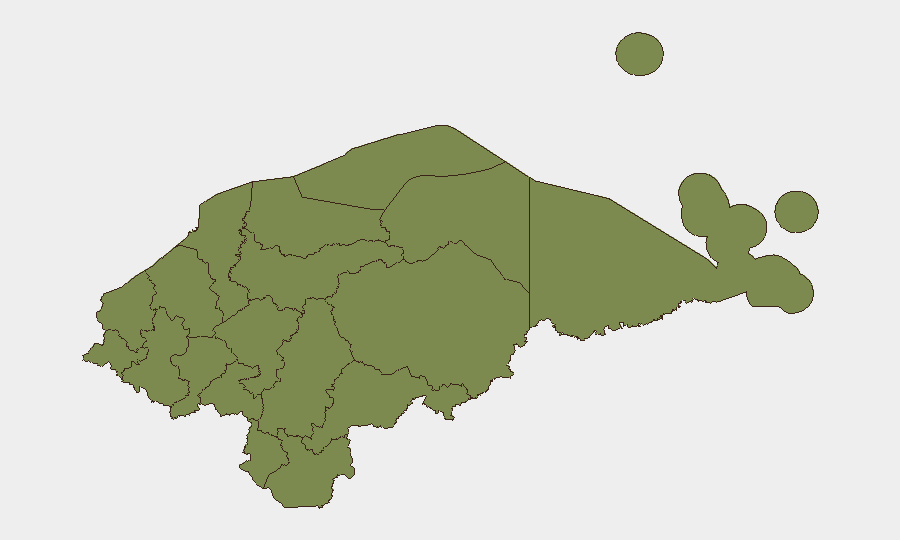
Olancho department stands alone as the primary regional risk driver, with a composite score of 31.3—approximately six times the national average. Francisco Morazán (score 4.9) ranks second but remains substantially lower. The remaining ten departments cluster at 1.3, indicating either stable conditions or data saturation at a baseline level.
Olancho's elevated risk likely reflects ongoing trafficking corridors, limited state presence, and historical gang activity; however, the specific current events fueling the 31.3 score require confirmation. For duty-of-care purposes, any personnel or asset concentration in Olancho warrants heightened monitoring and contingency planning. Francisco Morazán (home to Tegucigalpa) warrants standard urban-capital vigilance but is not currently flagged as a secondary hotspot.
How GeoBit Would Assist
Security teams operating in Honduras should employ Intel Sweep and global event feeds to maintain real-time tracking of arrests, statements, and institutional actions; pair this with multi-language OSINT (X/Twitter, local news, emergency services) focused on Tegucigalpa, San Pedro Sula, and Olancho to capture crime, homicide, extortion, and checkpoint activity missed by English-language sources. Persistent AOI monitoring and alerting on Olancho and Francisco Morazán would provide early warning of escalation in trafficking, gang violence, or civil unrest. Finally, routing and network analysis can identify secure alternate routes and operational corridors should primary transit zones become contested or blocked.
7-Day Outlook
Near-term risk trajectory remains stable at the national level, absent further presidential or institutional crises. Olancho's elevated exposure should be treated as persistent rather than acutely escalating. Flood impacts may disrupt transportation and humanitarian services for 7–14 days depending on rainfall and drainage patterns. Recommend confirmation of presidential statement subjects and U.S.-Honduras arrest details to assess any broader enforcement or diplomatic pivot.
Highest-Risk Areas — Ranked
| # | State / Region | Risk |
|---|---|---|
| 1 | Olancho | 31.3 |
| 2 | Francisco Morazán | 4.9 |
| 3 | El Paraíso | 1.3 |
| 4 | Copán | 1.3 |
| 5 | Ocotepeque | 1.3 |
| 6 | Cortés | 1.3 |
| 7 | Yoro | 1.3 |
| 8 | Santa Bárbara | 1.3 |
| 9 | Lempira | 1.3 |
| 10 | Intibucá | 1.3 |
| 11 | Comayagua | 1.3 |
| 12 | La Paz | 1.3 |
Sources
Previous Daily Briefs
A new Honduras brief is written every day — each with its own risk map and downloadable CSV. Here's the last week; use the calendar to go further back.
📅 Browse every day by calendar →
Highlighted days have a brief. Tap a day for that day's map & analysis, or “csv” for that day's dataset ($5).