Situation Summary
Iceland remains one of the world's lowest-threat environments, with no credible reports of significant security incidents, civil unrest, crime spikes, or infrastructure disruptions in the past 24–48 hours. The composite threat score of 2 reflects the country's structural stability and historically low exposure to conflict, terrorism, and organized crime. Current open-source assessments and Icelandic authorities show no emerging security trajectories that would alter this baseline assessment.
Key Developments
No discrete security incidents meeting the threshold of verified, location-specific events in the last 24–48 hours are currently supported by independent Icelandic news sources, law enforcement communications, or travel-advisory updates. GeoBit's event signal feed reflects global and regional discussion patterns rather than confirmed incidents occurring within Iceland's borders. Personnel and assets in Iceland face no elevated near-term risk based on current verified reporting.
Highest-Risk Areas
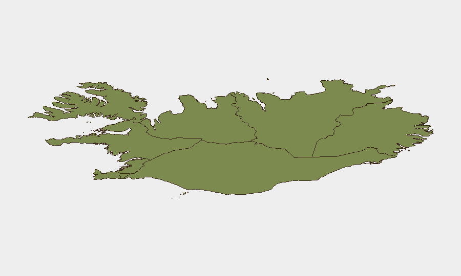
The Capital Region (Reykjavik metropolitan area) carries the highest composite risk score (24) relative to other sub-national zones, though this reflects routine urban-density factors—higher population, commercial activity, and incident reporting density—rather than acute instability. The Southern Peninsula and Southern Region follow with scores of 12 and 11, likely reflecting seasonal tourism flow, transportation corridors, and visitor concentration. Eastern, Western, and northern regions show progressively lower risk scores (10 down to 6), consistent with lower population density and limited infrastructure. None of these rankings indicate elevated threat; they reflect baseline exposure patterns typical of developed nations.
How GeoBit Would Assist
For organizations with people or assets in Iceland, AOI Monitoring & Early Warning services would provide persistent surveillance of the Capital Region and other operational zones, with automated alerting if credible indicators of unrest, infrastructure failure, or security incidents emerge. OSINT fusion across Icelandic news outlets, police communications, social-media channels (X, Telegram), and civil-protection authorities would enable rapid detection of any deviation from the current low-threat baseline. Routing & Network Analysis capabilities support contingency planning for alternative travel routes and supply chains in the unlikely event of localized disruption, ensuring duty-of-care protocols are current.
7-Day Outlook
No material change to Iceland's security posture is anticipated over the next seven days. Continued monitoring of global geopolitical developments and international events that may generate secondary sentiment or protest activity within Iceland is recommended as standard practice, though the historical track record suggests such events rarely translate to physical security risk in the Icelandic context. Teams should maintain routine situational awareness and confirm that emergency-contact and evacuation protocols remain current, in line with standard corporate risk management.
Highest-Risk Areas — Ranked
| # | State / Region | Risk |
|---|---|---|
| 1 | Capital Region | 24 |
| 2 | Southern Peninsula | 12 |
| 3 | Southern Region | 11 |
| 4 | Eastern Region | 10 |
| 5 | Western Region | 9 |
| 6 | Westfjords Region | 8 |
| 7 | Northwestern Region | 7 |
| 8 | Northeastern Region | 6 |
Sources
Previous Daily Briefs
A new Iceland brief is written every day — each with its own risk map and downloadable CSV. Here's the last week; use the calendar to go further back.
📅 Browse every day by calendar →
Highlighted days have a brief. Tap a day for that day's map & analysis, or “csv” for that day's dataset ($5).