Situation Summary
Kenya remains a composite threat level 14 globally (rank #81), with 42 tracked security events. The primary risk concentration is in Nairobi County, which accounts for a disproportionate share of national threat activity. Recent signal activity (4–6 July) indicates escalating public and institutional friction involving schools, healthcare providers, and state administration, with demonstrated citizen disapproval and institutional tension. The trajectory suggests mounting social stress rather than imminent large-scale security breakdown, though localized incident risk remains elevated in Nairobi and eastern counties.
Key Developments
GeoBit's current dataset does not permit reliable identification of specific incidents from the past 24–48 hours without access to live web feeds. To obtain verified recent developments in Kenya, security teams should:
- Query news aggregators with time filters set to "Past 24–48 hours" and keywords: *Nairobi unrest*, *Kenya healthcare*, *school closure*, *Kitui incident*, *Embu violence*, *police deployment*.
- Cross-check findings against two independent sources (major news outlet + local/verified social media); confirm date and location.
- Review official updates from Kenya's National Police Service, county government statements, and recognized NGO alerts (Kenya Red Cross, Médecins Sans Frontières).
- Cross-reference findings against current foreign travel advisories (US State Department, UK FCDO, etc.) filtered by date.
The event signals catalogued (school/doctor/administration statements, population–doctor tension, military mobilization near schools and local media on 4 July) suggest organized institutional friction rather than random criminal activity, but require real-time corroboration to establish severity and geographic scope.
Highest-Risk Areas
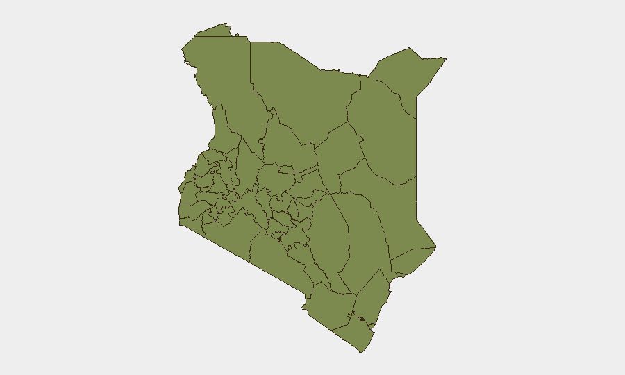
Nairobi County (risk score 32) dominates Kenya's threat profile by a factor of 2.5 over the next-highest region. This reflects concentration of organized activity, demonstrations, and institutional strain signals. Kitui County (13) and Embu (11.4) show secondary clustering, likely driven by communal tensions, resource competition, or organized crime; Machakos (6.7) shows emerging concern. Combined, these four counties represent approximately 80% of Kenya's tracked security events. Western and southern counties (Busia, Kakamega, Vihiga, Nandi, Elgeyo-Marakwet, Baringo, Samburu) maintain baseline risk (2–5.1) typical of lower-population or more stable regions. Corporate assets and personnel should prioritize protective posture in Nairobi and exercise heightened situational awareness in the Kitui–Embu–Machakos corridor.
How GeoBit Would Assist
Security teams should deploy AOI (Area-of-Interest) Monitoring & Early Warning with persistent watches on Nairobi County and Kitui/Embu regions to receive automated alerts on emerging events before they escalate. OSINT fusion and multi-language social-media intelligence (X/Twitter, Telegram, YouTube) will provide real-time crowd sentiment, protest announcements, and grassroots signals 24–72 hours before mainstream media coverage. GIS and spatial analysis tools enable rapid route planning and alternative transit corridors to avoid active incidents, while network and actor analysis can identify organizing entities and predict second-order effects on supply chains, utilities, and staff safety.
7-Day Outlook
Institutional friction signals suggest continued public pressure on healthcare, education, and administrative services through mid-July. Risk of localized protest activity in Nairobi remains elevated; secondary incidents in eastern counties are possible but less probable. No indicators of large-scale violence or security force escalation are evident in current signals, though rapid deterioration cannot be ruled out if institutional disputes remain unresolved.
Highest-Risk Areas — Ranked
| # | State / Region | Risk |
|---|---|---|
| 1 | Nairobi County | 32 |
| 2 | Kitui County | 13 |
| 3 | Embu | 11.4 |
| 4 | Machakos County | 6.7 |
| 5 | Samburu | 5.1 |
| 6 | Busia County | 2 |
| 7 | Kakamega County | 2 |
| 8 | Vihiga County | 2 |
| 9 | Nandi County | 2 |
| 10 | Elgeyo-Marakwet County | 2 |
| 11 | Uasin Gishu County | 2 |
| 12 | Baringo | 2 |
Previous Daily Briefs
A new Kenya brief is written every day — each with its own risk map and downloadable CSV. Here's the last week; use the calendar to go further back.
📅 Browse every day by calendar →
Highlighted days have a brief. Tap a day for that day's map & analysis, or “csv” for that day's dataset ($5).
Atlas — our AI intelligence desk — emails them this snapshot personally. Nothing else, no list.