Situation Summary
Nepal remains a low-to-moderate threat environment (rank #114 globally, composite score 10) but faces heightened political-diplomatic friction over border sovereignty and management with India. Recent 24–48 hour activity shows localized escalation in the Nepal–India border zone, political rhetoric questioning government territorial policy, and routine but elevated road-safety incidents. The security picture is stable at the national level but increasingly polarized at sub-national and diplomatic levels, with potential for protest mobilization tied to border and sovereignty narratives.
Key Developments
- Border confrontation, Susta area (West Nawalparasi District), 11–12 June: Local residents chased away Indian security personnel reportedly operating near or across the Nepal–India frontier, escalating existing tension over border demarcation and cross-frontier movements.
- Political calls for military border deployment, 11–12 June: Harka Raj Rai (Sampang), a prominent local political figure, publicly demanded Nepal Army deployment at disputed border zones and criticized the Prime Minister's territorial stance, framing the issue as a sovereignty crisis and fueling political debate.
- Road-traffic fatalities, nationwide, 11–12 June: Nepal Police tallied at least 9 deaths and 90 injuries across multiple districts in a single 24-hour period, indicating ongoing public-safety strain.
- Diplomatic border-mechanism activation, 11–12 June: Foreign Minister Shishir Khanal announced that Nepal–India border technical survey teams are currently active and will be further mobilized in coming months, signaling official engagement on localized friction.
- Earlier cross-border shooting invoked in current activism, 11–12 June: Social media and local outlets are amplifying a prior incident in which a farmer from India's Kishanganj was injured by Nepal border guards, using the case to mobilize local sentiment and calls for stricter border control on the Nepal side.
- Arrest/police action reported, 12 June: Police conducted detention(s) related to unspecified incidents; limited detail available but consistent with event-signal flagging of law-enforcement activity.
- Political opposition statements, 11 June: Opposition parties issued public statements, reflecting ongoing political contestation over government policy (likely border and sovereignty-related given concurrent developments).
Highest-Risk Areas
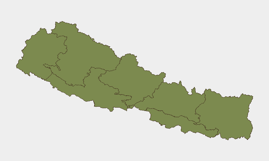
Gandaki Province (risk score 31.4) is the dominant threat driver, followed by Bagamati Province (19.4). The disparity is substantial: Gandaki's score is 60% higher than the next-ranked province. While precise incident mapping is not fully transparent in available data, the concentration in Gandaki—which includes districts adjacent to or near the Indian border—aligns with current border-friction reports and political mobilization around territorial issues. Bagamati, the capital region, likely reflects political and institutional volatility in Kathmandu. Remaining provinces (Koshi, Karnali, Sudurpashchim, Lumbini, Madhesh) all score below 6, indicating risk is geographically concentrated in the northwest and central zones.
How GeoBit Would Assist
Security teams operating in Nepal should employ AOI Monitoring & Early Warning to track Gandaki Province and the Susta border corridor for escalation in confrontations or protest activity. Intel Sweep and OSINT fusion (X/Twitter, Telegram, YouTube, local news) would provide real-time signal of political rhetoric, opposition mobilization, and border-community sentiment. GIS & Spatial Analysis and Routing & Network Analysis would enable alternative-route planning and safe-passage assessment for personnel transiting near disputed zones or high-risk provinces.
7-Day Outlook
Border tension is expected to remain elevated, with diplomatic mechanisms (bilateral technical teams) progressing in parallel to local grievance. Political pressure on the government to take a firmer stance on territorial issues will likely sustain public statements and protest risk, particularly in Gandaki. No imminent large-scale security event is signaled, but localized confrontations and road incidents will remain routine hazards; duty-of-care protocols should prioritize staff travel advisories and border-zone avoidance guidance.
Highest-Risk Areas — Ranked
| # | State / Region | Risk |
|---|---|---|
| 1 | Gandaki Province | 31.4 |
| 2 | Bagamati Province | 19.4 |
| 3 | Koshi Province | 5.8 |
| 4 | Karnali Province | 2.3 |
| 5 | Sudurpashchim Province | 1.4 |
| 6 | Lumbini Province | 1.4 |
| 7 | Madhesh Province | 1.4 |
Sources
Previous Daily Briefs
A new Nepal brief is written every day — each with its own risk map and downloadable CSV. Here's the last week; use the calendar to go further back.
📅 Browse every day by calendar →
Highlighted days have a brief. Tap a day for that day's map & analysis, or “csv” for that day's dataset ($5).