Situation Summary
Nepal is experiencing elevated political instability and civil unrest following a recent government transition, with at least 19 documented fatalities and hundreds injured in anti-corruption protests over the past 48 hours. Concurrent with national-level political turbulence, localized security incidents—including a knife attack on police conducting a land survey in Banke District on 11 June—signal broader fragmentation of public order. The political environment remains volatile but shows signs of stabilization, with Gen Z-led protest movements demanding governance reform rather than systemic overthrow. Border management operations with India are actively being conducted, indicating heightened security coordination amid the domestic transition.
Key Developments
- Kathmandu Valley, 10–11 June: Anti-corruption protests continuing with confirmed casualty toll of at least 19 dead and hundreds injured; unrest appears ongoing but without explicit revolutionary demands, suggesting a contained but persistent civil-unrest phase.
- Baijnath Rural Municipality-6, Banke District, 11 June: Police officers conducting official land survey at Shri Ishwari Secondary School were attacked with a khukuri (large knife), indicating deterioration of law-enforcement security during routine administrative operations in Lumbini Province.
- India–Nepal border (multiple crossing points), 10–11 June: Foreign Minister Shishir Khanal confirmed activation of bilateral border mechanisms with India and confirmed that technical field survey teams are operating on both sides of the frontier, signaling elevated border-management activity and potential for increased security checkpoints.
- Kathmandu (Everest/Solukhumbu sector context), 10–11 June: Climber Dawa Sherpa, who survived six days in Everest's death zone after abandonment on 30 May, has been moved out of intensive care; Nepal Mountaineering Association is calling for government investigation into operator negligence, likely to trigger regulatory tightening affecting mountaineering travel and permit processing.
- National parliament, 9–11 June: Multiple rejection votes and public statements by parliament, government, and opposition parties signal ongoing internal discord and potential legislative gridlock during the transition period.
Highest-Risk Areas
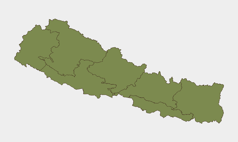
Gandaki Province (risk score 31.4) and Bagamati Province (risk 18.9) dominate the sub-national risk landscape, together accounting for approximately 88% of tracked event concentration. Gandaki's elevated score likely reflects sustained civil unrest and protest activity in urban centers, while Bagamati—which includes Kathmandu—is the locus of national political instability, government operations, and anti-corruption protest hotspots. Koshi Province (risk 4.0) shows moderate risk elevation, possibly tied to border tensions or localized administrative friction. The southern provinces (Lumbini, Madhesh, Sudurpashchim) rank lower overall but recent incidents in Banke District (Lumbini) underscore that police-community friction and land disputes can ignite localized violence even in nominally lower-risk zones.
How GeoBit Would Assist
Security teams with personnel or assets in Nepal should leverage AOI Monitoring & Early Warning focused on Kathmandu Valley and Gandaki Province to detect protest escalation and police-response activity in real time. Network & Actor Analysis combined with OSINT fusion (X/Telegram, Facebook, local news) enables rapid corroboration of incident reports—particularly critical given the noise in open sources—and can establish direct lines to protest organizing, border-crossing delays, and regulatory shifts affecting business operations. GIS & Spatial Analysis with Routing & Network Analysis supports real-time alternative-route planning around protest zones and police cordons, protecting mobility and supply-chain continuity during the transition period.
7-Day Outlook
Protest activity is expected to persist in Kathmandu and other urban centers through mid-June, likely without major escalation but with continued risk of police engagement and street disruption. Political gridlock and regulatory uncertainty will remain elevated, particularly affecting mountaineering permits, border-crossing procedures, and permit processing timelines. Localized security incidents (land disputes, police-community friction) are probable in provincial areas outside the capital, warranting enhanced duty-of-care monitoring in Lumbini and Gandaki provinces.
Highest-Risk Areas — Ranked
| # | State / Region | Risk |
|---|---|---|
| 1 | Gandaki Province | 31.4 |
| 2 | Bagamati Province | 18.9 |
| 3 | Koshi Province | 4 |
| 4 | Karnali Province | 2.7 |
| 5 | Sudurpashchim Province | 1.8 |
| 6 | Lumbini Province | 1.8 |
| 7 | Madhesh Province | 1.4 |
Sources
Previous Daily Briefs
A new Nepal brief is written every day — each with its own risk map and downloadable CSV. Here's the last week; use the calendar to go further back.
📅 Browse every day by calendar →
Highlighted days have a brief. Tap a day for that day's map & analysis, or “csv” for that day's dataset ($5).