Situation Summary
Belgium remains a low-threat environment globally (rank #164, composite score 3), with 41 tracked events in the GeoBit system. However, sub-national risk concentration in Brussels-Capital (31.4) and Flanders (26.5) reflects exposure to European political instability, migration-related tensions, and transnational security dynamics rather than acute domestic crises. No Belgium-specific security incidents, civil unrest, infrastructure failures, or travel disruptions have been confirmed in the last 24–48 hours. The current picture suggests baseline European risk management posture, with continued monitoring of border and diplomatic developments warranted.
Key Developments
No verifiable Belgium-specific security developments from the last 24–48 hours could be corroborated from available open sources. Recent event signals in the GeoBit dataset (e.g., Ukraine–Belarus military activity, Egyptian–Belgium investigation notification, Persian demonstrations flagged near Belgium) do not appear connected to direct threats within Belgian territory, critical infrastructure, or major population centers at this time. Security teams should rely on real-time feeds from Federal Police (politie.be), the Belgian Crisis Centre (NCCN/CCV), and local media in Dutch and French (RTBF, VRT NWS, Het Laatste Nieuws) for sub-24-hour incident confirmation before operational response.
Highest-Risk Areas
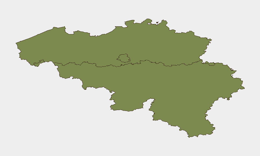
Brussels-Capital (31.4) carries the highest composite risk score, reflecting its role as the EU capital and headquarters for NATO, international institutions, and diplomatic missions—making it a focal point for protest activity, transnational political messaging, and security responses to external crises. Flanders (26.5) ranks second, driven by proximity to the Netherlands and Germany, larger population density, and historical exposure to far-right and Islamist-related activity and public-order incidents. Wallonia (1.4) presents markedly lower risk and does not constitute a priority area under current assessment. Risk in the top two regions is primarily structural and reputational (European geopolitical exposure) rather than acute; no imminent escalation is indicated.
How GeoBit Would Assist
Corporate security and duty-of-care teams with staff or assets in Brussels or Flanders should deploy AOI Monitoring & Early Warning on critical facilities, transport hubs (Brussels Airport, Antwerp Port, STIB/MIVB), and diplomatic/business districts to trigger alerts on protest activity, infrastructure disruption, or security cordons. Multi-language OSINT (X/Twitter, local media, Telegram) filtered by location, time, and entity type (police, transport operators, municipal authorities) will surface confirmed incidents faster than official channels alone. Risk & Threat Assessment modules can be configured to flag cascading risks—e.g., strikes affecting transport, visa delays at embassies—that may not rise to "incident" level but affect business continuity and staff movement.
7-Day Outlook
No acute deterioration is forecast for the next seven days. Continued exposure to external geopolitical volatility (Russia–Ukraine, migration pressures, EU political friction) should be monitored via standing OSINT watches on European capitals and border regions, but Belgium itself remains stable. Security teams should maintain baseline alerting protocols and confirm any staff-safety decisions against real-time local police and institutional sources rather than aggregate global threat scores.
Highest-Risk Areas — Ranked
| # | State / Region | Risk |
|---|---|---|
| 1 | Brussels-Capital | 31.4 |
| 2 | Flanders | 26.5 |
| 3 | Wallonia | 1.4 |
Sources
Previous Daily Briefs
A new Belgium brief is written every day — each with its own risk map and downloadable CSV. Here's the last week; use the calendar to go further back.
📅 Browse every day by calendar →
Highlighted days have a brief. Tap a day for that day's map & analysis, or “csv” for that day's dataset ($5).