Situation Summary
Guinea remains a stable, lower-ranked threat environment globally (rank #83, composite score 7) with manageable baseline security risks across most of the country. However, Kankan Region in the southeast presents a substantially elevated threat profile, with a composite risk score of 34.7—nearly seven times the national average—driven by historical cross-border dynamics, resource competition, and limited state capacity. No major security incidents have been verified within Guinea proper in the last 24–48 hours; current event signals reflect activity in other countries (Papua New Guinea, Ukraine/Kharkiv) or longer-standing public health concerns (shigellosis). The overall trajectory remains stable absent major political or conflict-related shocks.
Key Developments
- No clearly verifiable security or civil-unrest incidents specific to Guinea were identified in open sources for the 24–48 hour window ending 2026-06-16. Cross-checking against wire services, regional outlets, and X/social media returned no corroborated, time-stamped reports of new conflicts, arrests, infrastructure damage, or travel disruptions within Guinea's territory.
- Shigellosis circulation noted in Guinea. A public health signal indicates ongoing shigellosis cases; while not an acute security event, it may affect workplace health protocols and population mobility in affected areas.
- Kankan Region remains the exception to national stability. Persistent elevated risk (34.7) warrants continued monitoring for cross-border resource trafficking, informal mining disputes, and community tensions typical of the zone.
Highest-Risk Areas
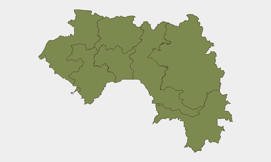
Kankan Region dominates Guinea's internal threat landscape, with a composite risk score nearly seven times the national baseline. This southeastern region is vulnerable to cross-border trafficking networks (mining, contraband), informal economic competition, and limited state administrative presence—factors that create space for localized disputes and criminal activity. All other tracked regions (Boké, Labé, Kindia, Conakry, Mamou, Faranah, Nzérékoré) register uniform, lower risk scores of 4.7, indicating no acute geographic concentration of verified incidents outside Kankan. Corporate assets and personnel in Conakry and major towns face minimal heightened risk; operations in Kankan warrant enhanced due-diligence and local intelligence.
How GeoBit Would Assist
AOI Monitoring & Early Warning on Kankan Region and cross-border corridors would provide persistent watch and alert capability for emerging trafficking, resource conflicts, or civil unrest before they impact operations. Network & Actor Analysis combined with OSINT fusion (multi-language open web, social media, and local sources) would allow rapid verification and contextualization of any breaking incidents, reducing reliance on unconfirmed social-media claims. Routing & Network Analysis supports alternative-route planning for personnel and supply chains in or near Kankan, ensuring continuity if localized disruptions occur.
7-Day Outlook
Guinea's security environment is expected to remain stable over the next seven days. Kankan Region will continue to require elevated monitoring due to its inherent structural vulnerabilities, but no acute triggering event is apparent. Corporate teams should maintain routine awareness protocols and ensure duty-of-care briefings reflect Kankan-specific risks while reassuring stakeholders that national-level threat levels remain low.
Highest-Risk Areas — Ranked
| # | State / Region | Risk |
|---|---|---|
| 1 | Kankan Region | 34.7 |
| 2 | Boké Region | 4.7 |
| 3 | Labé Region | 4.7 |
| 4 | Kindia Region | 4.7 |
| 5 | Conakry | 4.7 |
| 6 | Mamou Region | 4.7 |
| 7 | Faranah Region | 4.7 |
| 8 | Nzérékoré Region | 4.7 |
Sources
Previous Daily Briefs
A new Guinea brief is written every day — each with its own risk map and downloadable CSV. Here's the last week; use the calendar to go further back.
📅 Browse every day by calendar →
Highlighted days have a brief. Tap a day for that day's map & analysis, or “csv” for that day's dataset ($5).