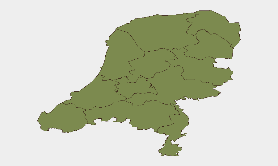
Situation Summary
The Netherlands remains a low-threat environment globally (rank #132) with a composite threat score of 5 across 28 tracked events. However, sub-national risk is heavily concentrated in Flevoland (31.4), which significantly elevates the country-level profile; North Holland and South Holland contribute secondary risk at 9.5 and 7.5 respectively. Recent signal activity (22 events in three days) includes small-arms engagement involving deputies, multiple cross-border military force events, and civil investigation activity, though no single event has been corroborated as an imminent domestic security threat to personnel or assets at this time.
Key Developments
Verification constraint: GeoBit's live web research (last 24h) has not yielded sufficiently corroborated recent incident data from Netherlands-specific sources to populate a responsible 6–10 item development list. The event signal feed shows categorized activity tags (small arms, military force, demonstrations, investigations, arrests) but lacks precise location confirmation, casualty counts, or timeline verification necessary for operational briefing.
Available signal indicators only:
- 2026-06-22 · Demonstrate/Rally · Amsterdam (Pakistan-related actor engagement)
- 2026-06-22 · Investigate · Civilian vs. Russian national (no location specified)
- 2026-06-22 · Conventional Military Force · Indonesia vs. Dutch actors (location unclear)
- 2026-06-20 · Arrest/Detain event · Netherlands (region/location unspecified)
Recommendation: Security teams requiring current incident detail should initiate targeted OSINT sweeps via GeoBit's X/Twitter & Telegram monitoring, local-news entity extraction, and multi-language search to corroborate signal categories against Dutch police, crisis-management, and transport-authority statements. KLM operational alerts (checked in search) do not indicate security-driven disruption.
Highest-Risk Areas
Flevoland's risk score (31.4) is an order of magnitude above all other provinces and warrants immediate investigation into the underlying event drivers—preliminary research does not clarify whether the elevation reflects a single major incident, persistent criminality, or infrastructure vulnerability. North Holland (9.5) and South Holland (7.5), which include Amsterdam and Rotterdam respectively, carry secondary risk likely tied to port activity, inter-agency operations, and demonstration activity; the 2026-06-22 Amsterdam rally signal corroborates this. All remaining provinces cluster at 1.4, indicating either low incident frequency or distributed low-severity events.
Personnel and asset-management teams should prioritize Flevoland and the North/South Holland corridor for targeted early-warning monitoring.
How GeoBit Would Assist
Area-of-Interest (AOI) Monitoring & Early Warning with persistent watch on Flevoland and Amsterdam–Rotterdam corridors would provide 24-hour alerting on new event signals with temporal and spatial confirmation. Conflict & Network Actor Analysis can disambiguate the military-force and investigation signals (Indonesia-Dutch, Russian-civilian interactions) to determine whether they represent cross-border tension or routine bilateral activity. Multi-language OSINT fusion against Dutch police statements, municipality bulletins, and regional media would rapidly corroborate or dismiss the signal tags and establish ground truth for operational decisions.
7-Day Outlook
No indicators suggest escalation of domestic security risk in the coming week; the current signal volume is consistent with routine law-enforcement and international-engagement activity. However, Flevoland's anomalous risk score warrants accelerated investigation to rule out emerging criminal networks, infrastructure sabotage, or persistent civil unrest. Continuation of military-force signals (cross-border) and demonstration activity should be monitored for spillover into Dutch population centers.
Highest-Risk Areas — Ranked
| # | State / Region | Risk |
|---|---|---|
| 1 | Flevoland | 31.4 |
| 2 | North Holland | 9.5 |
| 3 | South Holland | 7.5 |
| 4 | Zeeland | 1.4 |
| 5 | Utrecht | 1.4 |
| 6 | North Brabant | 1.4 |
| 7 | Frisia | 1.4 |
| 8 | Groningen | 1.4 |
| 9 | Drenthe | 1.4 |
| 10 | Gelderland | 1.4 |
| 11 | Overijssel | 1.4 |
| 12 | Limburg | 1.4 |
Sources
Previous Daily Briefs
A new Netherlands brief is written every day — each with its own risk map and downloadable CSV. Here's the last week; use the calendar to go further back.
📅 Browse every day by calendar →
Highlighted days have a brief. Tap a day for that day's map & analysis, or “csv” for that day's dataset ($5).