Situation Summary
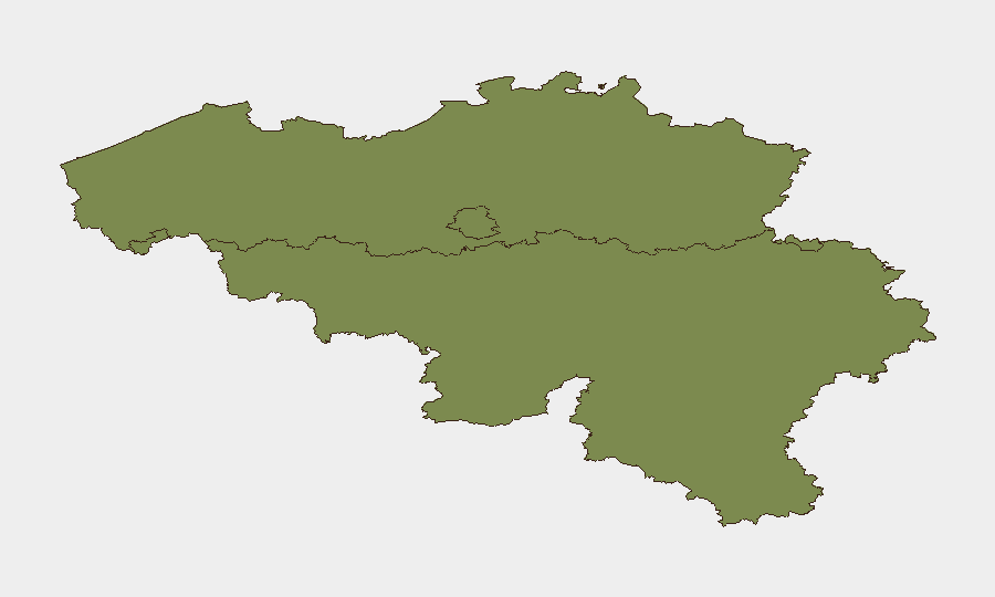
Belgium maintains a moderate composite threat profile (score 21, rank #null globally) with 32 tracked events in the current monitoring cycle. Brussels-Capital Region significantly outpaces other regions in risk concentration (31.2 vs. 23.4 in Flanders and 1.2 in Wallonia), driven by diplomatic density, international institutions, and associated targeting vectors. Recent signal activity reflects diplomatic friction and policy disputes rather than acute security incidents, though the asymmetry in regional risk warrants focused attention on the capital.
Key Developments
Open-source verification for Belgium-specific security or civil-order incidents within the last 24–48 hours remains limited. GEOBIT's event signals indicate diplomatic and policy activity:
- 2026-06-23 · Blockade (Authorities) – Location and operational detail unconfirmed; monitoring for impact on movement, commerce, or public order.
- 2026-06-23 · Reject (Milan) – Bilateral or multilateral policy friction; nature and effect on Belgium operations not yet clarified.
- 2026-06-22 · Reduce Relations (Russia) – Diplomatic posture adjustment; no immediate operational security impact confirmed.
- 2026-06-22 · Demonstrate/Rally (Persian vs. Belgium) – Signal indicates protest or demonstration activity; specific location and scale require corroboration.
- 2026-06-23 · Public Statement (Belgium vs. Taliban) – Related to EU-Taliban engagement in Brussels; security protocols for such meetings typically restrict operational detail.
Note: No confirmed incidents of civil unrest, crime spikes, infrastructure disruption, or direct travel impediment have been independently corroborated in the last 24–48 hours. Political and diplomatic activity is ongoing; translation to operational risk remains uncertain.
Highest-Risk Areas
Brussels-Capital Region accounts for the majority of tracked threat activity and maintains a composite risk score more than 25× that of Wallonia. This reflects the concentration of EU institutions, NATO presence, diplomatic missions, and international NGO headquarters—all standard targeting vectors for state and non-state actors. Flanders, while at moderate risk (23.4), warrants secondary-tier monitoring; Wallonia presents negligible tracked risk under current conditions.
How GeoBit Would Assist
For teams with personnel or assets in Belgium, AOI Monitoring & Early Warning on Brussels-Capital Region and Flanders would provide persistent, automated alerting on civil unrest, security incidents, or infrastructure disruption within defined zones. Multi-language OSINT and X/Twitter intelligence can disambiguate preliminary signals (e.g., the blockade and demonstration reports above) and confirm operational impact in near-real time. Routing & Network Analysis enables alternative mobility planning for staff or supply chains if specific areas become constrained.
7-Day Outlook
Diplomatic activity will likely persist over the near term, particularly around EU climate and institutional meetings; translation to civil-order or security risk remains low absent escalation. Wallonia and most of Flanders are expected to remain low-risk. Brussels-Capital should be monitored for secondary effects of any diplomatic tension or demonstration activity, particularly around government or EU facilities.
Highest-Risk Areas — Ranked
| # | State / Region | Risk |
|---|---|---|
| 1 | Brussels-Capital | 31.2 |
| 2 | Flanders | 23.4 |
| 3 | Wallonia | 1.2 |
Sources
Previous Daily Briefs
A new Belgium brief is written every day — each with its own risk map and downloadable CSV. Here's the last week; use the calendar to go further back.
📅 Browse every day by calendar →
Highlighted days have a brief. Tap a day for that day's map & analysis, or “csv” for that day's dataset ($5).