Situation Summary
Ghana remains a stable, moderate-threat environment with no active large-scale civil unrest, terrorism, or critical infrastructure attacks as of 16 June 2026. However, national law enforcement has significantly intensified operations against organised crime networks, particularly narcotics trafficking, fraud, and violent crime, with coordinated multi-agency raids across at least five regions over the past 48 hours. The security posture reflects routine criminal enforcement activity rather than political instability, but the elevated operational tempo and regional concentration of arrests warrant close monitoring of trafficking corridor volatility.
Key Developments
- Koforidua, Eastern Region (15 June): National Security and Ghana Police conducted a multi-agency raid at the Koforidua China Mall construction site, resulting in six arrests in an intelligence-led operation targeting suspected illicit activity.
- Upper East Region border communities (14–15 June): Ghana Police mounted back-to-back counter-narcotics and violent-crime operations, with multiple arrests and seizures reported as part of intensified enforcement against organised trafficking networks in northern border areas.
- Ashanti Region (15 June): A joint National Security and Ghana Police raid was executed as part of nationwide serious-crime operations; limited public disclosure of specific targets and arrest numbers.
- Nationwide police operations (13–15 June): Ghana Police leadership reported coordinated enforcement actions across multiple regions over a 48-hour window, highlighting elevated tempo against narcotics, violent crime, and fraud networks.
- Jubilee House, Accra (mid-June): The Ghana Navy formally assumed security duties at the presidential palace during the 48th Guard Changing Ceremony in a planned rotation of executive security responsibilities.
- Accra (16 June): President Mahama commissioned and handed over 100 pickup trucks to the Ghana Police Service to enhance mobility and nationwide crime-fighting response capability.
- Accra (16 June): At the 4th ECOWAS Regional Cybersecurity Hackathon closing, officials highlighted ongoing regional ransomware threats to healthcare infrastructure and cyber-enabled trafficking and fraud, with hundreds of arrests across West Africa noted.
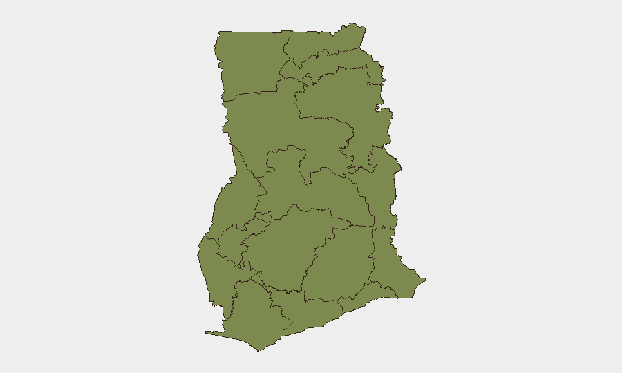
Highest-Risk Areas
Bono East Region dominates the sub-national risk profile with a composite score of 33.1—substantially above all other regions—signalling concentrated criminal or trafficking activity requiring immediate monitoring. Greater Accra (6.1) and Volta and Western regions (both 5.5) present secondary risk vectors; Greater Accra's elevation reflects capital-city crime concentration (fraud, theft, organised crime), whilst Volta and Western regions likely reflect border proximity and trafficking corridor exposure. All other regions score below 4.0, indicating that risk concentration is geographically discrete rather than diffuse, and driven primarily by organised crime and trafficking networks rather than political or security sector instability.
How GeoBit Would Assist
Security teams would deploy AOI Monitoring & Early Warning on Bono East, Upper East, and border communities to track enforcement operations and trafficking network responses in real time. Network & Actor Analysis combined with OSINT fusion (X/Twitter, Telegram, local media, radio SIGINT) would enable continuous assessment of organised crime group positioning and cross-border movement. Routing & Network Analysis would support alternative travel planning for personnel and cargo movements avoiding high-risk trafficking corridors and areas subject to intensified police operations.
7-Day Outlook
The elevated enforcement tempo is likely to persist through late June as Ghanaian security agencies continue coordinated campaigns against trafficking and organised crime. Personnel and asset movements should anticipate increased checkpoint activity and police presence in Bono East, Upper East, and border regions over the coming week, with minimal risk of civil unrest or political instability.
Highest-Risk Areas — Ranked
| # | State / Region | Risk |
|---|---|---|
| 1 | Bono East Region | 33.1 |
| 2 | Greater Accra Region | 6.1 |
| 3 | Volta Region | 5.5 |
| 4 | Western Region | 5.5 |
| 5 | Ashanti Region | 4.9 |
| 6 | Upper West Region | 3.7 |
| 7 | Upper East Region | 3.1 |
| 8 | Savannah Region | 3.1 |
| 9 | North East Region | 3.1 |
| 10 | Northern Region | 3.1 |
| 11 | Eastern Region | 3.1 |
| 12 | Oti Region | 3.1 |
Sources
Previous Daily Briefs
A new Ghana brief is written every day — each with its own risk map and downloadable CSV. Here's the last week; use the calendar to go further back.
📅 Browse every day by calendar →
Highlighted days have a brief. Tap a day for that day's map & analysis, or “csv” for that day's dataset ($5).