Situation Summary
Kenya remains a mid-tier regional security concern (global rank #50, composite threat score 37) with dispersed but significant risk drivers spanning pastoral conflict, urban protest dynamics, and transnational criminality. Political tensions and demonstration activity in Nairobi, coupled with persistent pastoral insecurity in the north and east, define the current threat landscape. The country's security posture has shown neither sharp deterioration nor marked improvement over the reporting period; operational risk remains geographically concentrated and tactical in nature.
Key Developments
- Nairobi (Milimani Law Courts) – ~10 July 2026 – Six protesters arrested during Saba Saba-linked demonstrations charged with obstructing traffic; all released on KSh 10,000 bond each after pleading not guilty. Indicates continued low-level arrest-and-release cycle around political demonstrations rather than escalation to detention or violence.
- Nairobi (Parliament precinct) – 7 July 2026 – Heavy police checkpoints, barbed-wire barriers, and concentrated deployments documented around parliament and major arterial roads as city braced for Saba Saba demonstrations. Reflects state capacity to mount rapid protective cordons but also signals anticipation of larger crowd activity.
- National – undated but current – US Embassy security alert circulated noting terrorism risk to embassies, schools, hotels, and public venues with little warning. Alert reiterates baseline threat posture rather than new tactical intelligence; no specific attack indicators reported.
- Mt. Kenya area – unconfirmed, claimed "last 24 hours" – User-generated reports of an unspecified security incident at Mt. Kenya Gate with stated official response and area monitoring. Lacks independent corroboration, specific nature, or official confirmation; treat as unverified.
Highest-Risk Areas
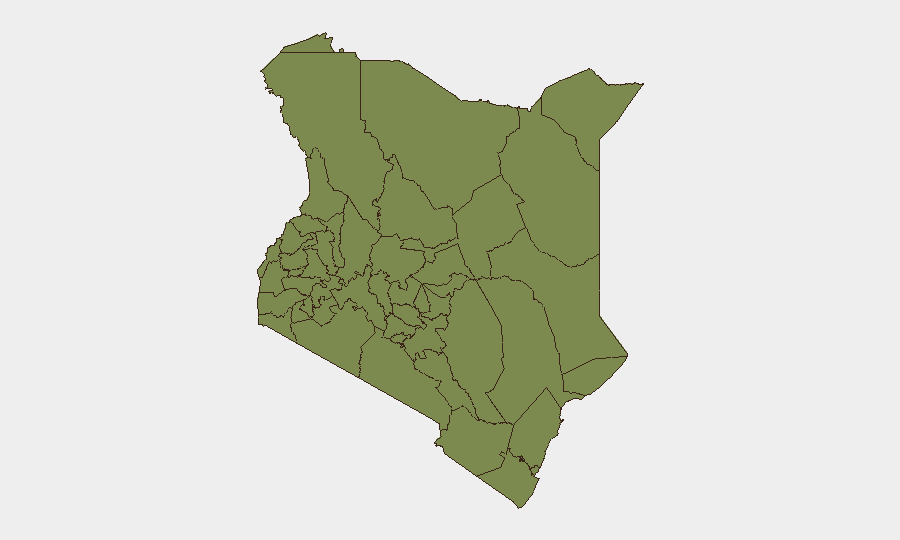
Samburu County dominates Kenya's sub-national risk profile (score 32.2), driven by persistent pastoral conflict, banditry, and limited state presence in remote rangelands. Nairobi County (9.3) reflects urban concentration of political protest, criminal activity, and terrorism risk despite heavy security infrastructure. Elgeyo-Marakwet (5.0) and Kisumu (3.6) register secondary but material risk tied to intercommunal tension, petty criminality, and occasional demonstration activity. The stark disparity between Samburu and all other counties reflects a two-tier risk geography: extreme pastoral-nomadic insecurity in the north and centre, and manageable but persistent urban-political volatility in the capital.
How GeoBit Would Assist
Corporate security teams should deploy AOI Monitoring & Early Warning on Samburu, Nairobi, and Elgeyo-Marakwet counties to detect tactical shifts in banditry, protest scale, or state response before they affect operations or personnel. Network & Actor Analysis combined with X/Twitter & Telegram OSINT and sentiment analysis enable near-real-time tracking of protest organizers, criminal group signaling, and emerging political narratives that precede ground activity. Routing & Network Analysis supports secure alternative routing for staff and supply chains around active demonstration zones and high-risk pastoral areas, while conflict and terrorism search maintains baseline intelligence on threat actor positioning and capability.
7-Day Outlook
Post-Saba Saba demonstration activity is likely to subside into routine police-protest management cycles absent new political triggers or major security incidents. Samburu and adjacent pastoral counties will continue to cycle through seasonal rustling, intercommunal skirmishes, and bandit activity independent of Nairobi dynamics. Terrorism risk and petty crime in Nairobi remain steady-state; no near-term indicators suggest major escalation.
Highest-Risk Areas — Ranked
| # | State / Region | Risk |
|---|---|---|
| 1 | Samburu | 32.2 |
| 2 | Nairobi County | 9.3 |
| 3 | Elgeyo-Marakwet County | 5 |
| 4 | Kisumu County | 3.6 |
| 5 | Busia County | 2.2 |
| 6 | Kakamega County | 2.2 |
| 7 | Vihiga County | 2.2 |
| 8 | Nandi County | 2.2 |
| 9 | Uasin Gishu County | 2.2 |
| 10 | Baringo | 2.2 |
| 11 | Laikipia County | 2.2 |
| 12 | Meru County | 2.2 |
Sources
Previous Daily Briefs
A new Kenya brief is written every day — each with its own risk map and downloadable CSV. Here's the last week; use the calendar to go further back.
📅 Browse every day by calendar →
Highlighted days have a brief. Tap a day for that day's map & analysis, or “csv” for that day's dataset ($5).
Atlas — our AI intelligence desk — emails them this snapshot personally. Nothing else, no list.