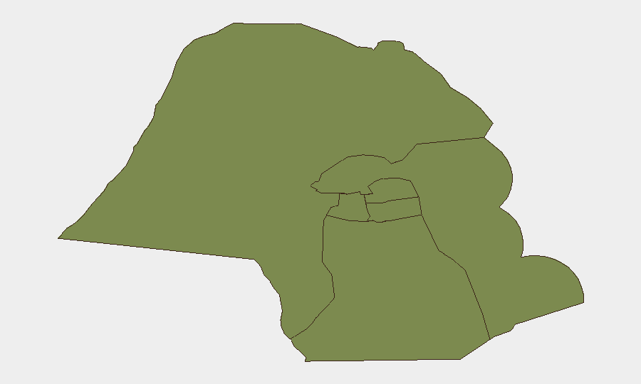
Situation Summary
Kuwait remains a low-to-moderate regional threat environment (rank #64 globally, composite score 17) with no reported civil unrest, terrorist attacks, or major infrastructure failures in the last 48 hours. The primary driver of current elevated alert posture is ongoing regional missile and drone activity linked to US–Iran tensions; Kuwait's air defenses intercepted 24 hostile drones over 4–6 July with no damage or casualties reported. Routine law-enforcement operations (drug seizures, traffic enforcement, customs intercepts) continue without indication of systemic instability.
Key Developments
- Nationwide airspace, 4–6 July: Kuwait armed forces detected and intercepted 24 hostile drones in Kuwaiti airspace over a 48-hour window, reflecting elevated air-threat environment but zero confirmed damage or casualties; military alert posture remains elevated.
- Nationwide road network, 4–6 July: General Directorate of Traffic completed a 48-hour enforcement campaign, registering 4,629 violations and impounding 74 vehicles; heightened checkpoint activity and police interaction likely to persist.
- Multiple locations across Kuwait, 5–6 July: Ministry of Interior conducted seven drug-enforcement operations, seizing 20,000 Captagon pills and arresting 10 suspects; visible police activity underway but no spillover civil unrest reported.
- Kuwait International Airport Terminal 4, early July: Customs officers intercepted a China-arriving passenger with counterfeit goods and undeclared foreign currency; tighter luggage inspection protocols and potential delays anticipated, especially at T4.
- Regional airspace / Ali Al Salem Airbase context (late June, ongoing impact): UN and media reporting confirms Iranian missile and drone activity targeting US military infrastructure in Kuwait in late June; interceptions successful, no US facility damage, but heightened air-defense posture and airspace restrictions remain in effect.
Highest-Risk Areas
Jahra Governorate dominates the sub-national risk ranking at 31.5, significantly outpacing all other governorates (all at 1.5 or below). This disparity suggests either elevated historical incident density, ongoing law-enforcement focus, or proximity to sensitive military/border infrastructure; organizations with personnel or assets in Jahra should maintain heightened situational awareness. The remaining five governorates—Ahmadi, Farwaniya, Hawalli, Mubarak al-Kabir, and Capital—present materially lower and roughly equivalent risk profiles, indicating risk concentration rather than nationwide distribution.
How GeoBit Would Assist
Security teams should deploy AOI (Area-of-Interest) Monitoring & Early Warning on Jahra Governorate and military/airbase perimeters to detect emerging drone, missile, or security incidents in near-real time. Intel Sweep and multi-language OSINT fusion across local law-enforcement announcements, military briefings, and regional media will surface tactical changes to air routes, checkpoint locations, and enforcement operations before they disrupt travel or operations. Routing & Network Analysis can identify alternative road and air corridors to mitigate traffic enforcement delays and airspace restrictions as they evolve.
7-Day Outlook
Regional drone and missile activity is likely to remain elevated through the week pending progress in US–Iran ceasefire negotiations; Kuwait's air defense posture will not ease materially. Domestic law-enforcement operations (narcotics, traffic) will continue at current tempo. No credible indicators suggest imminent civil unrest, terrorist attack, or major infrastructure disruption; risk trajectory remains stable to cautiously managed.
Highest-Risk Areas — Ranked
| # | State / Region | Risk |
|---|---|---|
| 1 | Jahra Governorate | 31.5 |
| 2 | Ahmadi Governorate | 1.5 |
| 3 | Farwaniya Governorate | 1.5 |
| 4 | Hawalli Governorate | 1.5 |
| 5 | Mubarak al-Kabir Governorate | 1.5 |
| 6 | Capital Governorate | 1.5 |
Sources
Previous Daily Briefs
A new Kuwait brief is written every day — each with its own risk map and downloadable CSV. Here's the last week; use the calendar to go further back.
📅 Browse every day by calendar →
Highlighted days have a brief. Tap a day for that day's map & analysis, or “csv” for that day's dataset ($5).
Atlas — our AI intelligence desk — emails them this snapshot personally. Nothing else, no list.