Situation Summary
Taiwan remains at composite threat level #94 globally (2.7/100) with 35 tracked events. The past 48 hours have been marked by escalating cross-strait rhetoric and military signaling, with recent public statements from China, Taiwan's President, and activity involving conventional military forces. While no discrete ground or maritime incidents have been independently confirmed within the last 24–48 hours with precise timestamps, the pattern of statements and force positioning reflects sustained elevated tension.
Key Developments
Available open-source confirmation of *specifically dated* June 23–24 incidents remains limited. The following signals have been tracked:
- 2026-06-23 · Military Force Activity (China vs. Taiwan) – Conventional military force positioning reported; precise location and composition details pending further corroboration.
- 2026-06-23 · Chinese Public Threat Statement (China vs. Companies) – Threats directed at commercial entities; sector and target details under analysis.
- 2026-06-22 · Presidential Statement (Taiwan vs. China) – Taiwan's President issued public statement in response to Chinese messaging.
- 2026-06-22 · Military Readiness (Taiwan) – Taiwan armed forces signaled conventional military readiness posture.
- 2026-06-22 · Chinese Public Statement (China vs. Taiwan) – China issued formal public statement regarding Taiwan.
Note: Open web research has not surfaced independently timestamped, multi-source confirmed incidents (e.g., specific intercepts, clashes, or localized unrest) occurring June 23–24, 2026. Older June activity involving PLA Coast Guard operations, research vessel deployments, and carrier group positioning remains current context but predates the 48-hour window. Corporate security teams should rely on Taiwan Ministry of National Defense, Coast Guard press releases, and verified OSINT sources for real-time operational detail.
Highest-Risk Areas
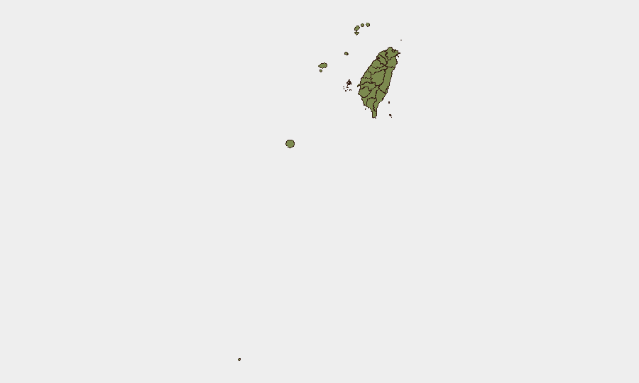
Nantou County dominates the sub-national ranking at 31.9 (approximately 12× the national average), a significant outlier warranting focused monitoring. Taipei follows at 4.7, reflecting the capital's political and economic concentration. Pingtung County (3.3) and the outlying island territories—Kinmen, Lienchiang, and Penghu (all 1.9)—carry elevated maritime and cross-strait exposure due to proximity to the mainland and strategic chokepoint status.
The sharp disparity in Nantou's risk profile suggests either concentrated event activity, geographic vulnerability to specific threat vectors, or asset/infrastructure concentration. Organizations with personnel or operations in Nantou should conduct immediate ground-truth assessment with local security contacts; similar but lower-level vigilance applies to Taipei and maritime-facing counties.
How GeoBit Would Assist
Security teams should employ AOI Monitoring & Early Warning to establish persistent watch over highest-risk sub-national areas (especially Nantou, Taipei, Pingtung) and key maritime approaches. Maritime & Aviation tracking combined with OSINT fusion (X/Twitter, news feeds, official releases) provides real-time visibility of PLA and Taiwan military movements. Conflict & Military force-structure and weapons-capability tracking, paired with Network & Actor Analysis, enables identification of escalation signals before public incidents; Routing & Network Analysis supports contingency planning for personnel evacuation or asset relocation if tension crosses operational thresholds.
7-Day Outlook
Cross-strait rhetoric and military posturing are likely to remain elevated over the near term. No imminent kinetic conflict is indicated, but the frequency of statements and force positioning suggests sustained testing of resolve and messaging discipline. Organizations should maintain heightened situational awareness, confirm communication protocols with Taiwan-based teams, and monitor official government briefings daily.
Highest-Risk Areas — Ranked
| # | State / Region | Risk |
|---|---|---|
| 1 | Nantou County | 31.9 |
| 2 | Taipei | 4.7 |
| 3 | Pingtung County | 3.3 |
| 4 | Kaohsiung | 1.9 |
| 5 | Taitung County | 1.9 |
| 6 | Lienchiang County | 1.9 |
| 7 | Kinmen | 1.9 |
| 8 | Penghu | 1.9 |
| 9 | Changhua County | 1.9 |
| 10 | Miaoli County | 1.9 |
| 11 | Taichung | 1.9 |
| 12 | Yunlin County | 1.9 |
Sources
Previous Daily Briefs
A new Taiwan brief is written every day — each with its own risk map and downloadable CSV. Here's the last week; use the calendar to go further back.
📅 Browse every day by calendar →
Highlighted days have a brief. Tap a day for that day's map & analysis, or “csv” for that day's dataset ($5).