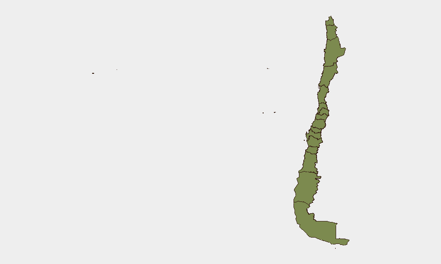
Situation Summary
Chile maintains a composite threat score of 2.1 and ranks #77 globally, reflecting relatively low security risk compared to regional peers. However, sub-national disparities are pronounced: Coquimbo Region (risk 31.5) and Santiago Metropolitan Region (risk 24.4) drive aggregate threat levels substantially above the national baseline. The security environment appears stable in most regions, though concentrated vulnerabilities in the north and capital warrant targeted monitoring.
Key Developments
GeoBit's live web research (last 24–48 hours) did not return sufficient Chile-specific, date-verified incidents to support a factual current-events briefing. Search results were dominated by Venezuelan developments unrelated to Chile's security posture. No developments from the last 24–48 hours meet the threshold for inclusion in this section. A dedicated Chile-focused OSINT sweep with fresh regional sources would be required to identify actionable current events.
Highest-Risk Areas
Coquimbo Region presents the single largest threat concentration (risk score 31.5), roughly 13× the national average and 10× the second-ranked region. Santiago Metropolitan Region (risk 24.4) concentrates population, critical infrastructure, and administrative targets, representing sustained elevated risk appropriate to its role as the capital and primary economic hub. The remaining ten tracked regions cluster at 1.5–2.3 risk scores, indicating risk is highly geographically stratified. Security planning and resource allocation should reflect this marked disparity; duty-of-care obligations for personnel or assets in Coquimbo and Santiago warrant substantially higher baseline monitoring intensity than operations in southern or central regions.
How GeoBit Would Assist
For sustained Chile operations, security teams should deploy Area-of-Interest (AOI) Monitoring & Early Warning on Coquimbo and Santiago to establish persistent watch with automated alerting for threat-signal escalation. Intel Sweep and multi-language OSINT fusion (X/Twitter, Telegram, local news, radio SIGINT) would provide real-time situational awareness and early warning of localized incidents before they impact operations. GIS & Spatial Analysis combined with Alternative Route & Network Planning would enable rapid contingency routing and movement planning should incidents affect primary corridors or facilities in high-risk zones.
7-Day Outlook
No imminent escalation indicators are evident from available data, and the national security trajectory appears stable. Teams should maintain routine monitoring posture while prioritizing enhanced vigilance in Coquimbo and Santiago; a Chile-focused OSINT refresh within 48–72 hours is recommended to establish current baseline and validate the absence of emerging threats not yet reflected in global feeds.
Note: This briefing is constrained by incomplete current-event data for Chile. GeoBit recommends commissioning a dedicated Chile-focused Intel Sweep with fresh regional sources to establish a current baseline and support tactical decision-making for high-risk regions.
Highest-Risk Areas — Ranked
| # | State / Region | Risk |
|---|---|---|
| 1 | Coquimbo Region | 31.5 |
| 2 | Santiago Metropolitan Region | 24.4 |
| 3 | Valparaiso Region | 2.3 |
| 4 | Magallanes and Chilean Antarctica Region | 2.3 |
| 5 | Antofagasta Region | 1.5 |
| 6 | Atacama Region | 1.5 |
| 7 | Aysen del General Carlos Ibanez del Campo Region | 1.5 |
| 8 | Los Lagos Region | 1.5 |
| 9 | O'Higgins Region | 1.5 |
| 10 | Maule Region | 1.5 |
| 11 | Nuble Region | 1.5 |
| 12 | Biobio Region | 1.5 |
Sources
Previous Daily Briefs
A new Chile brief is written every day — each with its own risk map and downloadable CSV. Here's the last week; use the calendar to go further back.
📅 Browse every day by calendar →
Highlighted days have a brief. Tap a day for that day's map & analysis, or “csv” for that day's dataset ($5).