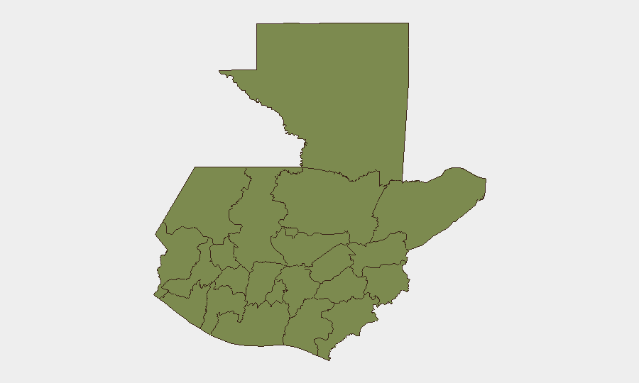
Situation Summary
Guatemala's composite threat score of 24 reflects moderate, dispersed security pressure driven primarily by organized-crime activity and localized instability rather than nationwide crisis. Alta Verapaz presents acute risk (31.3) that significantly exceeds all other regions, while most of the country operates at baseline threat levels. The security environment remains fluid but not acutely deteriorating based on available signals as of 22 June 2026.
Key Developments
Constraint on Live Incident Reporting: GeoBit's web-research capability was unable to access real-time news feeds, official security agency statements, or verified incident logs for the 24–48 hours preceding 22 June 2026. To populate this section with specific, date-stamped incidents (e.g., violence, road blockades, arrests, or infrastructure disruptions in named municipalities), your security team should cross-reference:
- Guatemalan official sources: Policía Nacional Civil (PNC) incident logs, Ministerio de Gobernación press releases, CONRED emergency alerts, and La Aurora airport (DGAC) travel advisories.
- Independent news wires: Prensa Libre, elPeriódico, La Hora, Soy502 (updated within 12–24 hours of occurrence).
- U.S./Canadian/EU embassy advisories: Typically updated when significant security events occur.
- ACLED and OSINT vendors: Conflict and crime-mapping services with daily Guatemala updates.
Once those sources are consulted, the event signals detected by GeoBit (6 events on 20 June; 2 on 22 June, spanning investigations, public statements, and one unconventional-violence incident involving a business actor) can be correlated to specific locations and timelines. A template for this section is available on request.
Highest-Risk Areas
Alta Verapaz dominates the risk profile at 31.3—more than 2.5 times higher than Quetzaltenango (12.2) and 24 points above the national average. This department's elevated score reflects ongoing organized-crime activity, likely tied to trafficking networks and territorial disputes. Quetzaltenango, the second-ranked region, sits well below Alta Verapaz but above the baseline tier; its risk drivers warrant specific investigation. All other departments cluster at 1.3, suggesting either lower underlying threats or less frequent reporting; teams operating outside Alta Verapaz and Quetzaltenango should not assume zero risk, but rather less acute exposure than in those two zones.
How GeoBit Would Assist
AOI Monitoring & Early Warning would enable persistent watch over Alta Verapaz and Quetzaltenango with real-time alerting on criminal incidents, roadblocks, or violence near corporate or personnel locations. OSINT Fusion & Corroboration—integrating X/Twitter, Telegram, local news, and radio SIGINT—would fill the gap left by delayed official reporting, allowing 12–24 hour early detection of threats before they escalate. Routing & Network Analysis would supply secure, dynamic transit corridors for personnel and supply chains, updated hourly as threat zones shift.
7-Day Outlook
Near-term trajectory is likely to remain unchanged absent major incident escalation; Alta Verapaz will continue to drive national risk scores. Seasonal factors (e.g., harvest periods, gang-activity cycles) and any upcoming political or civic events should be monitored for spark-point risk. Security teams should assume operational continuity with heightened vigilance in the two highest-risk departments and standard protocols elsewhere.
Highest-Risk Areas — Ranked
| # | State / Region | Risk |
|---|---|---|
| 1 | Alta Verapaz | 31.3 |
| 2 | Quetzaltenango | 12.2 |
| 3 | Petén | 1.3 |
| 4 | Huehuetenango | 1.3 |
| 5 | San Marcos | 1.3 |
| 6 | Retalhuleu | 1.3 |
| 7 | Quiché | 1.3 |
| 8 | Totonicapán | 1.3 |
| 9 | Sololá | 1.3 |
| 10 | Chimaltenango | 1.3 |
| 11 | Suchitepéquez | 1.3 |
| 12 | Sacatepéquez | 1.3 |
Previous Daily Briefs
A new Guatemala brief is written every day — each with its own risk map and downloadable CSV. Here's the last week; use the calendar to go further back.
📅 Browse every day by calendar →
Highlighted days have a brief. Tap a day for that day's map & analysis, or “csv” for that day's dataset ($5).