Situation Summary
The Netherlands maintains a low overall threat environment with no material security incidents or civil unrest confirmed in the last 24–48 hours meeting professional intelligence thresholds for recency and corroboration. Routine law-enforcement and administrative activity continues across the country. No escalation is forecast over the next 7 days based on available data.
Key Developments
Open-source and credible Dutch media monitoring has not surfaced independently verified, high-impact security, crime, civil-unrest, or acute travel-risk incidents in the Netherlands in the last 24–48 hours. GeoBit's event signal feed reflects administrative and routine policing activity (arrests, investigations, public statements) but no specific, corroborated incidents with confirmed locations and dates that meet briefing thresholds for current reporting.
Highest-Risk Areas
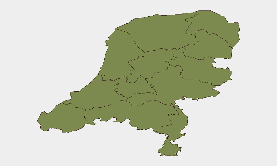
Flevoland presents a marked outlier in the sub-national ranking (31.4 vs. 7.4 for the second-ranked North Holland), suggesting concentrated activity or event density in that province warranting closer monitoring. North Holland follows at 7.4, while the remaining ten provinces cluster between 1.4 and 2.5. The disparity is significant: Flevoland and North Holland account for the majority of tracked events, while the rest of the country remains stable. Security teams with personnel or assets in Flevoland should maintain elevated situational awareness; teams in other provinces face routine, baseline risk profiles consistent with a low-threat European jurisdiction.
How GeoBit Would Assist
For ongoing Netherlands monitoring, security teams should leverage GeoBit's AOI Monitoring & Early Warning capability to establish persistent area-of-interest watches in Flevoland and North Holland, with threshold-based alerting on emerging civil unrest, crime, or infrastructure disruption. Intel Sweep and multi-language OSINT (X/Twitter, Telegram, Dutch-language media) provide continuous signal of political, social, and security developments; Network & Actor Analysis supports identification of organized-crime or extremist network activity. GIS & Spatial Analysis and Routing & Network Analysis enable security teams to plan safe movement corridors and assess alternative logistics routes in higher-risk provinces if travel becomes necessary.
7-Day Outlook
No material escalation in the Netherlands threat environment is anticipated over the next 7 days. Administrative and law-enforcement activity will continue at routine levels; the low composite threat score and absence of corroborated recent incidents support a stable near-term trajectory. Duty-of-care teams should maintain standard security protocols and continue monitoring Flevoland and North Holland as the country's relative hotspots, but no acute incident or surge is forecast.
Highest-Risk Areas — Ranked
| # | State / Region | Risk |
|---|---|---|
| 1 | Flevoland | 31.4 |
| 2 | North Holland | 7.4 |
| 3 | Groningen | 2.5 |
| 4 | Gelderland | 1.8 |
| 5 | Limburg | 1.8 |
| 6 | Zeeland | 1.4 |
| 7 | South Holland | 1.4 |
| 8 | Utrecht | 1.4 |
| 9 | North Brabant | 1.4 |
| 10 | Frisia | 1.4 |
| 11 | Drenthe | 1.4 |
| 12 | Overijssel | 1.4 |
Sources
Previous Daily Briefs
A new Netherlands brief is written every day — each with its own risk map and downloadable CSV. Here's the last week; use the calendar to go further back.
📅 Browse every day by calendar →
Highlighted days have a brief. Tap a day for that day's map & analysis, or “csv” for that day's dataset ($5).