Situation Summary
New Zealand's composite threat score of 19 places it in the lower-risk category globally, but Wellington's disproportionately high risk score (31.3) reflects concentrated political, protest, and investigative activity in the capital. Over the past 48 hours, a cluster of traffic incidents, a commercial crime spree, and a minor aviation incident in Canterbury have elevated short-term public-safety and asset-protection concerns in that region. The national security posture has shifted with New Zealand's entry into an international AI warfighting project, though this has no immediate operational impact on travel or commercial security. Overall trajectory remains stable at the national level, with localized volatility in Canterbury and Wellington.
Key Developments
- Christchurch, Canterbury – multi-incident crime and safety surge (2 August): A 90-minute business crime spree early on 2 August caused extensive commercial damage; simultaneously, two serious vehicle crashes (Johns Road, Northwood, and Selwyn District) resulted in over a dozen injuries and two critical cases, creating immediate disruption to transport and commercial operations.
- Christchurch Airport – cabin odour emergency (2 August): An Air New Zealand flight triggered emergency response protocols after passengers reported a smoke-like odour, prompting fire and airport authority activation; incident was contained but briefly affected airport operations.
- Port Albert, Northland – fatal single-vehicle crash (1–2 August evening): A crash on Port Albert Road resulted in one fatality and highlighted localized road-safety risk in rural Northland.
- Auckland – police pursuit and arrest (early 2 August): Police arrested a driver who fled across Auckland following a pursuit, with charges for failing to stop and related offences; reflects urban crime and pursuit risk.
- Kerikeri, Northland – repeat offender charges (2 August): A 37-year-old man faces burglary, theft, and bail-breach charges linked to recent property crime, appearing in Kaikohe District Court; signals ongoing property-crime risk in the Far North.
- Wellington – investigation signal (31 July): GeoBit tracked investigative activity and public disapproval events in Wellington on 31 July, consistent with the capital's elevated risk ranking; police and government statements followed on 1 August.
- National defence policy – AI warfighting project (2 August): New Zealand joined an international AI warfighting initiative described as "pivotal" for future military capability; operational impact on immediate security minimal but signals strategic realignment.
Highest-Risk Areas
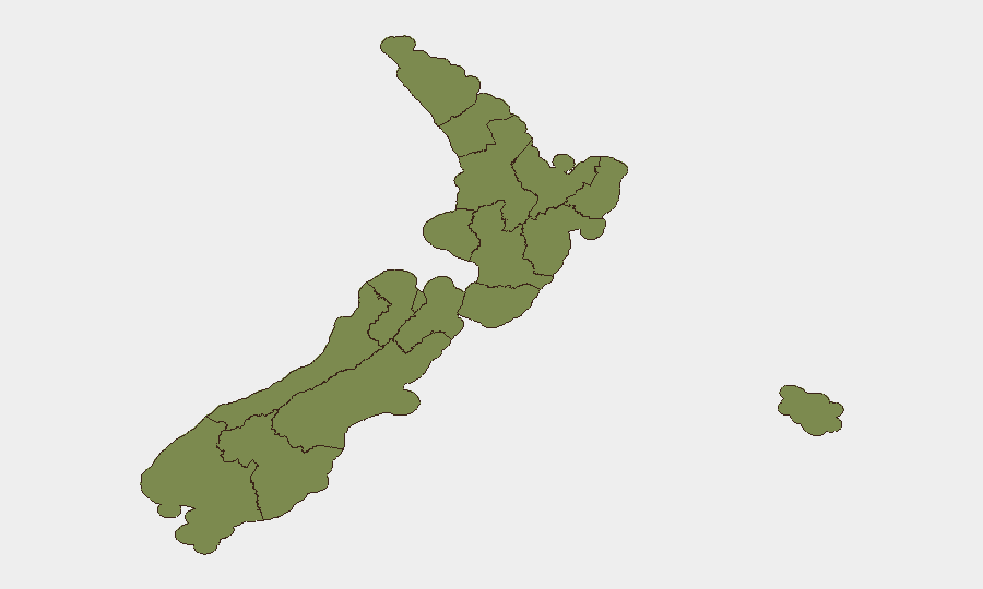
Wellington dominates the risk landscape with a composite score of 31.3—more than three times higher than the next-ranked regions. This reflects concentrated political activity, investigative signals, and protest-related events tracked over recent days. Manawatū-Whanganui and West Coast follow at 9.8 each, likely driven by union activity and regional disapproval signals. Canterbury, while not in the top rankings, has experienced acute 48-hour volatility (crashes, crime, aviation incident) that warrants tactical vigilance for corporate security teams with assets or personnel in Christchurch.
How GeoBit Would Assist
Corporate security teams operating in New Zealand should deploy AOI Monitoring & Early Warning on Wellington (political/protest risk) and Canterbury (crime and transport disruption) to receive real-time alerts on emerging threats. OSINT fusion (X/Twitter, Telegram, local news feeds) and sentiment & temporal analysis enable rapid detection of escalating disapproval or protest signals before they affect operations. Routing & Network Analysis allows security managers to plan alternative transport corridors in Canterbury and Auckland around incident hotspots, and to adjust duty-of-care protocols ahead of travel to Wellington.
7-Day Outlook
Wellington's elevated risk is expected to persist given ongoing political and investigative signals; no major de-escalation is apparent over the next 7 days. Canterbury's recent cluster of incidents (crashes, crime, aviation) suggests continued short-term volatility; commercial premises and transport operators should maintain heightened situational awareness. National stability is expected to remain, with no indicators of broader systemic disruption.
Highest-Risk Areas — Ranked
| # | State / Region | Risk |
|---|---|---|
| 1 | Wellington | 31.3 |
| 2 | Manawatū-Whanganui | 9.8 |
| 3 | West Coast | 9.8 |
| 4 | Southland | 4.1 |
| 5 | Taranaki | 2.7 |
| 6 | Waikato | 2.7 |
| 7 | Bay of Plenty | 2.7 |
| 8 | Otago | 2.7 |
| 9 | Auckland | 2 |
| 10 | Marlborough | 2 |
| 11 | Chatham Islands | 1.3 |
| 12 | Northland | 1.3 |
Sources
Previous Daily Briefs
A new New Zealand brief is written every day — each with its own risk map and downloadable CSV. Here's the last week; use the calendar to go further back.
📅 Browse every day by calendar →
Highlighted days have a brief. Tap a day for that day's map & analysis, or “csv” for that day's dataset ($5).
Atlas — our AI intelligence desk — emails them this snapshot personally. Nothing else, no list.