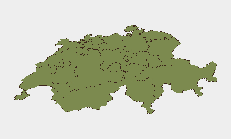
Situation Summary
Switzerland maintains a low absolute threat profile (global rank #161, composite score 4.0) with no verified civil unrest, political violence, or infrastructure-disruption events in the past 24–48 hours. Open-source corroboration confirms routine traffic accidents and minor crime as the dominant public-safety signals across all cantons. Lucerne exhibits markedly elevated sub-national risk (31.5), driven by multiple incident clusters; Geneva follows at 12.2, while all other regions remain at or below 2.8. The security baseline remains stable with no indicators of escalation.
Key Developments
- Lucerne, A2 motorway near Neuenkirch – 13 July: Three-vehicle rear-end collision resulted in three hospitalizations and traffic disruption on a major transit corridor.
- Lucerne, Inseli Park, city centre – 14 July: Male sustained serious injury during an altercation; police responded and investigation ongoing.
- Bern, A1 motorway – 14 July: Entrance ramp closure in direction of Lausanne triggered police warning and temporary traffic restrictions.
- Lucerne, A2 near Emmen – 14 July: Heavy-goods vehicle breakdown obstructed traffic pending roadside clearance.
- Lucerne, Hitzkirch – 14 July: Single-vehicle road departure and crash with damage reported.
- Schaffhausen, Neunkirch – 14 July: Hit-and-run incident following traffic accident; driver fled scene; police search ongoing.
- Appenzell Ausserrhoden, Wald – 14 July: Motorcycle crash with injury to 19-year-old operator; routine police report.
- Bern, Rüschegg – 14 July: Motorcycle accident requiring Rega air-rescue medical evacuation, indicating serious injury.
Highest-Risk Areas
Lucerne's composite risk score of 31.5 is 14 times higher than Geneva's (12.2) and 11 times higher than Zurich's (2.8), reflecting a concentration of traffic collisions, assault-related injury, and roadway incidents over the past 48 hours. The clustering of five distinct events in Lucerne—three on the A2 motorway corridor alone—suggests either routine high-volume transit exposure or a transient incident spike; neither implies systemic instability. Geneva's elevated score reflects investigative activity and inter-agency coordination (likely related to the broader event signals flagged by the platform), but without corroborating public incident reports. All remaining cantons sit at 1.5, indicating baseline or near-zero acute risk.
How GeoBit Would Assist
Security teams with personnel or assets in the Lucerne transit corridor would benefit from AOI Monitoring & Early Warning on the A2 motorway and major urban centres to detect accident clusters and congestion patterns in real time. Routing & Network Analysis capabilities enable rapid alternative-journey planning when motorway incidents occur, minimizing exposure to disrupted corridors. For broader cantonal risk tracking, Intel Sweep and multi-source OSINT fusion (police tickers, traffic feeds, news media) supply continuous verification of routine versus escalatory events, preventing false-positive threat inflation while flagging genuine early-warning signals before they mature into duty-of-care incidents.
7-Day Outlook
No indicators point to near-term escalation of threat levels in Switzerland. Routine traffic and minor crime are expected to persist as the primary security signals. Continued monitoring of Lucerne's A2 corridor and Geneva investigative activity is warranted, but absent corroborating multi-source reporting of civil unrest or political instability, the composite risk picture is expected to remain flat or decline as the current incident cluster resolves.
Highest-Risk Areas — Ranked
| # | State / Region | Risk |
|---|---|---|
| 1 | Lucerne | 31.5 |
| 2 | Geneva | 12.2 |
| 3 | Zurich | 2.8 |
| 4 | Basel-City | 1.5 |
| 5 | Jura | 1.5 |
| 6 | Basel-Landschaft | 1.5 |
| 7 | Solothurn | 1.5 |
| 8 | Aargau | 1.5 |
| 9 | Vaud | 1.5 |
| 10 | Neuchâtel | 1.5 |
| 11 | Fribourg | 1.5 |
| 12 | Bern | 1.5 |
Sources
Previous Daily Briefs
A new Switzerland brief is written every day — each with its own risk map and downloadable CSV. Here's the last week; use the calendar to go further back.
📅 Browse every day by calendar →
Highlighted days have a brief. Tap a day for that day's map & analysis, or “csv” for that day's dataset ($5).
Atlas — our AI intelligence desk — emails them this snapshot personally. Nothing else, no list.