Situation Summary
Taiwan remains at moderate global risk (rank #106, composite score 10) with 64 tracked security events. The past 48 hours show elevated signal activity involving military posturing, diplomatic friction, and government-level tensions, though no major kinetic incidents have been confirmed. Risk concentration is acute in Nantou County (31.8) and Taipei (20.8), reflecting both exercise activity and political/diplomatic volatility. The security posture reflects ongoing cross-strait tension and domestic preparedness efforts.
Key Developments
- Nantou County, 2–3 July 2026: Taiwan conducted a large-scale "resilience exercise" involving 370+ officials, simulating blockade, earthquake, sabotage, civil unrest, and invasion scenarios as part of President Lai Ching-te's preparedness initiative (Reuters; exercise completion date approximately 3 July).
- Taipei, 2 July 2026: U.S. senior representative announced readiness to deepen drone cooperation with Taiwan to enhance defense capability (policy/security statement; no incident).
- Taiwan-wide, 1–3 July 2026: Multiple signals recorded across 48 hours: military/police power demonstrations (1 July), regime demands (1 July), government military-force posturing (2 July), public statements from Taiwan authorities (3 July), and threat language directed at Taiwan from external actors (2 July). Specific incident details remain limited in available reporting.
- Cross-strait, 2 July 2026: Beijing rejection of unspecified diplomatic overture; Taiwan rejection of separate matter; arrest/detain signal attributed to China vs. Taiwan (details unconfirmed in current reporting).
- Armed Forces activity, 2 July 2026: Investigation initiated by Taiwan Armed Forces; scope and subject not yet clarified in available sources.
*Note: Current open-source reporting does not provide granular incident details for all 10 tracked signals. Detailed incident confirmation requires classified intelligence feeds or direct government/media source access.*
Highest-Risk Areas
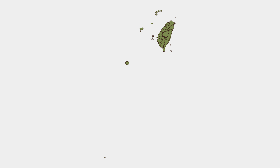
Nantou County dominates sub-national risk (31.8), driven largely by the July 2–3 resilience exercise and its simulation of infrastructure disruption, civil unrest, and invasion scenarios—indicators that planning for high-consequence contingencies is active. Taipei (20.8) reflects political volatility, diplomatic friction, and concentration of government/media infrastructure. Penghu (16.4), an outlying island group, shows elevated risk consistent with its strategic position in cross-strait scenarios. All other tracked regions score below 3.0, indicating risk is regionally concentrated rather than systemic across Taiwan.
How GeoBit Would Assist
Security teams would deploy AOI Monitoring & Early Warning on Nantou, Taipei, and Penghu to detect protest escalation, infrastructure disruption, or military movement in real-time with automated alerting. Intel Sweep (global event feeds, X/Twitter OSINT, multi-language search) would surface emerging diplomatic incidents, cross-strait statements, and cyber activity before mainstream reporting. Conflict & Military capabilities—force structure tracking, weapons-capability monitoring, and battle mapping—would clarify military posture shifts and exercise scope. Network & Actor Analysis would identify political/military decision-makers and track their public statements for early warning of policy shifts affecting foreign nationals or supply chains.
7-Day Outlook
Elevated signal activity is expected to continue through early July as diplomatic and military messaging cycles remain active. The Nantou exercise completion and policy announcements on drone cooperation suggest elevated planning and preparation activity, not imminent crisis. Risk of rapid escalation exists if cross-strait rhetoric hardens or if any single military incident (accidental or intentional) triggers reciprocal action; monitoring of official statements and military communications is warranted.
Highest-Risk Areas — Ranked
| # | State / Region | Risk |
|---|---|---|
| 1 | Nantou County | 31.8 |
| 2 | Taipei | 20.8 |
| 3 | Penghu | 16.4 |
| 4 | Kinmen | 2.5 |
| 5 | Taoyuan City | 2.5 |
| 6 | Kaohsiung | 1.8 |
| 7 | Pingtung County | 1.8 |
| 8 | Taitung County | 1.8 |
| 9 | Lienchiang County | 1.8 |
| 10 | Changhua County | 1.8 |
| 11 | Miaoli County | 1.8 |
| 12 | Taichung | 1.8 |
Sources
Previous Daily Briefs
A new Taiwan brief is written every day — each with its own risk map and downloadable CSV. Here's the last week; use the calendar to go further back.
📅 Browse every day by calendar →
Highlighted days have a brief. Tap a day for that day's map & analysis, or “csv” for that day's dataset ($5).