Situation Summary
Kenya's composite threat score of 18 (global rank #71) reflects a fractured security landscape dominated by terrorism in the northeast, election-related violence in central highlands, and organised crime in urban corridors. The past 48 hours have seen intelligence-led counter-terrorism operations, politically motivated attacks during parliamentary by-elections, and sustained organised-crime enforcement. Overall trajectory remains volatile but not acute; localised incidents are being met with state security response, though cross-border terrorism and electoral tensions present recurring flashpoints.
Key Developments
- Mandera County (Alungu area), 16 July – Kenya's SOG conducted a ground and air assault on an Al-Shabaab camp, killing 11 militants and injuring 7; three PKM machine guns and approximately 409 rounds of ammunition recovered. Remaining fighters fled across the Kenya–Somalia border.
- Ol Kalou Constituency, Nyandarua County, 16 July – Armed masked men deployed tear gas at a polling-related crowd gathering during the parliamentary by-election; Interior CS Kipchumba Murkomen ordered a security investigation into election violence.
- Ol Kalou Constituency, Nyandarua County, 16 July – A vehicle carrying UDA party agents was burnt in a separate incident tied to the same by-election, indicating escalating politically motivated violence in the area.
- Thika Superhighway, Nairobi Metropolitan area, 16 July – Suspected hired goons barricaded sections of the superhighway, causing traffic gridlock, panic, and road insecurity for commuters; incident captured by eyewitnesses and local media.
- Mandera, Wajir, Garissa and Lamu counties, 16–17 July – Foreign travel advisories and Kenyan authorities reiterated heightened terrorism and cross-border attack risk in eastern border counties following the SOG raid, advising against non-essential travel.
- Kahawa Wendani, Kiambu County, 15–16 July – Police and NACADA arrested a 27-year-old suspect with 230 rolls of cannabis during a drug-enforcement raid in the Nairobi peri-urban belt, reflecting sustained organised-crime activity.
- Mwingi, Kitui County, 16 July – Local authorities and media reported the recovery of seven unidentified bodies; the Kitui governor called for urgent investigations amid concerns over organised crime or targeted killings.
- Nairobi and major urban centres, 16–17 July – Foreign travel advisories warned of possible spontaneous demonstrations, road blockades and violent clashes with security forces around Saba Saba political activity, referencing June 2026 protest violence.
Highest-Risk Areas
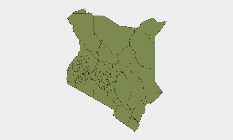
Samburu County (risk 32.6) and Laikipia County (risk 19) dominate the sub-national ranking, driven by recurring Al-Shabaab incursions, pastoralist militia activity, and cross-border trafficking tied to the Somalia–Kenya border. Nairobi County (16.9) reflects organised crime, politically motivated violence during electoral periods, and periodic spontaneous protests. The sharp concentration of risk in these three jurisdictions—with all others scoring below 5.3—indicates that Kenya's broader security challenge is geographically contained but operationally intense.
How GeoBit Would Assist
Security teams would deploy AOI Monitoring & Early Warning on Samburu, Laikipia, and Nairobi County to detect nascent Al-Shabaab movements, militia mobilisations, and pre-election tension signals; Intel Sweep and multi-language OSINT (X, Telegram, local media) to track politically motivated actors and cross-border logistics; and Routing & Network Analysis to identify alternative transport corridors avoiding Thika Superhighway and eastern border zones during periods of heightened threat. Satellite and imagery analysis would support damage assessment and force-structure tracking in counter-terrorism zones.
7-Day Outlook
Electoral tensions in central highlands will likely persist as by-election cycles continue; expect sporadic road blockades and protest activity in Nairobi around Saba Saba and parallel political messaging. Counter-terrorism operations in Mandera will remain active, sustaining cross-border risk in eastern counties. Organised-crime enforcement will continue in peri-urban Nairobi without materially changing overall threat posture.
Highest-Risk Areas — Ranked
| # | State / Region | Risk |
|---|---|---|
| 1 | Samburu | 32.6 |
| 2 | Laikipia County | 19 |
| 3 | Nairobi County | 16.9 |
| 4 | Nakuru | 5.3 |
| 5 | Embu | 5.3 |
| 6 | Kiambu | 4 |
| 7 | Busia County | 2.6 |
| 8 | Kakamega County | 2.6 |
| 9 | Vihiga County | 2.6 |
| 10 | Nandi County | 2.6 |
| 11 | Elgeyo-Marakwet County | 2.6 |
| 12 | Uasin Gishu County | 2.6 |
Sources
Previous Daily Briefs
A new Kenya brief is written every day — each with its own risk map and downloadable CSV. Here's the last week; use the calendar to go further back.
📅 Browse every day by calendar →
Highlighted days have a brief. Tap a day for that day's map & analysis, or “csv” for that day's dataset ($5).
Atlas — our AI intelligence desk — emails them this snapshot personally. Nothing else, no list.