Situation Summary
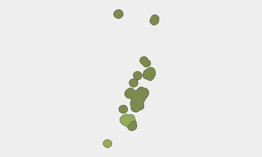
Tonga presents a low composite threat environment (score 5, unranked globally) with no verified security incidents in the last 24–48 hours. Seismic activity—six earthquakes (M 4.7–5.0) in offshore zones since mid-June—poses infrastructure and maritime risk but no immediate civil or conflict-related threat. The threat landscape remains stable, with routine law-enforcement activity (a body discovered 18 June near Nuku'alofa naval base) outside the current reporting window. Risk concentration remains in Tongatapu (score 45), driven by population density and capital-city functions rather than active conflict or disorder.
Key Developments
- No verified security incidents in Tonga over 24–48 hours ending 23 June 2026. Regional monitoring of neighboring Pacific states confirms absence of spillover, cross-border activity, or organized disruption.
- Continued offshore seismic activity. Multiple earthquakes (M 4.7–5.0) recorded 86–276 km from populated centers in Tongatapu and Haʻapai since mid-June; no tsunami warnings or coastal damage reported as of 23 June.
- El Niño declaration (19 June, contextual). Tonga Meteorological Services announced 3–6 month El Niño condition; affects long-term agricultural and water-resource planning but does not constitute immediate security event.
Highest-Risk Areas
Tongatapu dominates sub-national risk (score 45), reflecting its role as the administrative and economic center—home to Nuku'alofa, international port, and diplomatic presence. Vavaʻu (28) and Haʻapai (22) carry moderate scores, likely linked to maritime exposure, limited infrastructure redundancy, and geographic remoteness that complicate emergency response. ʻEua (18) and Ongo Niua (12) are lower-risk due to smaller populations and minimal critical assets. Current risk drivers are environmental (seismic, El Niño) and baseline crime rather than political instability or civil unrest.
How GeoBit Would Assist
Intel Sweep and AOI Monitoring would provide persistent watch on Nuku'alofa and secondary population centers, capturing early signals of crime, public unrest, or infrastructure disruption via news feeds, social media, and regional security reports. Maritime & Aviation Tracking combined with GIS & Spatial Analysis would support route planning and real-time hazard avoidance for personnel traveling to or between the islands, particularly given ongoing seismic activity. Environmental & Health data fusion would track El Niño impacts on supply chains, water systems, and communicable disease patterns, informing duty-of-care planning for corporate personnel and assets.
7-Day Outlook
No acute threat escalation is forecast for the next 7 days. Seismic activity may persist in offshore zones but poses minimal risk to population centers if epicenters remain >80 km distant. Routine monitoring of Tongatapu for crime and public-order incidents should continue as baseline practice; regional stability in neighboring Pacific states suggests low risk of spillover or political contagion.
Highest-Risk Areas — Ranked
| # | State / Region | Risk |
|---|---|---|
| 1 | Tongatapu | 45 |
| 2 | Vavaʻu | 28 |
| 3 | Haʻapai | 22 |
| 4 | ʻEua | 18 |
| 5 | Ongo Niua | 12 |
Sources
Previous Daily Briefs
A new Tonga brief is written every day — each with its own risk map and downloadable CSV. Here's the last week; use the calendar to go further back.
📅 Browse every day by calendar →
Highlighted days have a brief. Tap a day for that day's map & analysis, or “csv” for that day's dataset ($5).