Situation Summary
Guinea remains a low-frequency security concern globally (rank #97, composite threat score 8) but continues to experience localized health and administrative pressures. The threat picture is concentrated in Conakry and Kankan Region, where composite risk scores significantly exceed the national baseline. No major security incidents, civil unrest, or infrastructure disruptions have been reported in the last 24–48 hours; however, ongoing disease surveillance (shigellosis) and administrative action warrant continued monitoring in high-density urban areas.
Key Developments
- 2026-06-22 · Administrative Sanctions (Guinea, national) — Specific details of the cited administrative action remain under-reported in open sources. Corporate teams with regulatory exposure should confirm scope through official channels.
- Shigellosis Activity (Guinea, recent) — Health authorities tracking shigellosis circulation; no outbreak declaration reported but case activity flagged in disease surveillance feeds. Conakry and major urban centers are epidemiologically highest-risk.
- No acute security incidents reported (last 48 hours) — Web search, news wires, and social-media monitoring across Guinea detected no corroborated reports of protests, violent crime clusters, political instability triggers, or infrastructure failures during 20–22 June 2026.
*Note: Open-source coverage of Guinea remains sparse outside Conakry. Absence of reported incidents does not confirm absence of local events; persistent area-of-interest monitoring is recommended for assets in high-risk regions.*
Highest-Risk Areas
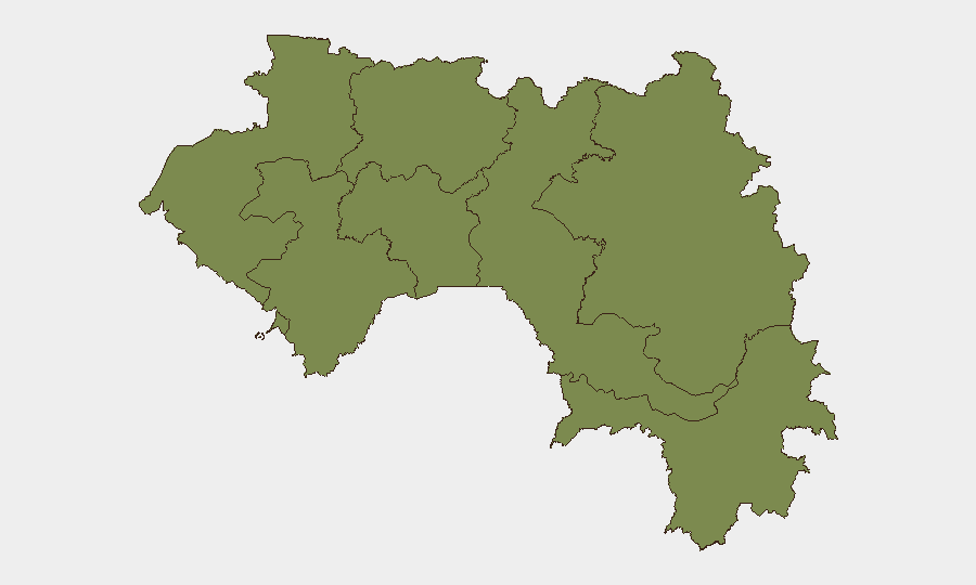
Conakry dominates risk exposure (score 35.7), reflecting the capital's concentration of population, economic activity, and infrastructure vulnerability. Kankan Region (28.2) presents a secondary but significant risk cluster; underlying drivers likely include border-region instability, illicit-commodity flows, and historically limited state presence. The remaining seven regions cluster at baseline scores (5.7 each), suggesting either lower intrinsic risk or limited incident reporting. Security teams operating in or transiting through Conakry should assume higher exposure to petty and organized crime, health-service strain, and administrative unpredictability. Kankan requires elevated vigilance for cross-border trafficking, localized violence, and supply-chain disruption.
How GeoBit Would Assist
Teams with personnel or assets in Guinea should use AOI Monitoring & Early Warning to establish persistent watches over Conakry's key facilities and Kankan's border-crossing infrastructure, with automated alerting for incident signals. Intel Sweep and multi-language OSINT (including French-language media, Telegram, and local radio monitoring) will surface health alerts, administrative directives, and crime trends before they reach international news. Routing & Network Analysis can identify secure alternative routes for supply chains and personnel movement should primary infrastructure (ports, main roads) become congested or temporarily unavailable.
7-Day Outlook
Guinea is expected to remain in a low-incident steady state over the next seven days, with no political or security triggers currently visible. Health surveillance (shigellosis) should be monitored continuously; localized outbreaks could strain public-health capacity in Conakry and trigger temporary movement restrictions. Any fresh administrative action should be tracked closely, as Guinea's regulatory environment can shift rapidly and affect business continuity.
Highest-Risk Areas — Ranked
| # | State / Region | Risk |
|---|---|---|
| 1 | Conakry | 35.7 |
| 2 | Kankan Region | 28.2 |
| 3 | Boké Region | 5.7 |
| 4 | Labé Region | 5.7 |
| 5 | Kindia Region | 5.7 |
| 6 | Mamou Region | 5.7 |
| 7 | Faranah Region | 5.7 |
| 8 | Nzérékoré Region | 5.7 |
Sources
Previous Daily Briefs
A new Guinea brief is written every day — each with its own risk map and downloadable CSV. Here's the last week; use the calendar to go further back.
📅 Browse every day by calendar →
Highlighted days have a brief. Tap a day for that day's map & analysis, or “csv” for that day's dataset ($5).