Situation Summary
Taiwan faces elevated cross-strait military and paramilitary pressure as of 4 July 2026, with 26 PLA aircraft, 7 PLAN vessels, and newly deployed China Coast Guard (CCG) patrols operating in and around Taiwan's air defense identification zone (ADIZ) and claimed jurisdictional waters. The intensity and scope of activity—including median-line transits and coordinated operations east of Taiwan—represents a material increase in gray-zone coercion activity. Civilian air and maritime traffic is already experiencing re-routing and delays; political debate in Taipei is intensifying and may drive rapid policy shifts affecting corporate operations.
Key Developments
- 4 July, offshore airspace & waters island-wide: Taiwan's Ministry of National Defense reported 26 PLA aircraft and 7 PLAN vessels in surrounding waters, with 16+ aircraft entering ADIZ and several crossing the Taiwan Strait median line; Taiwan scrambled fighters and activated air-defense systems. Elevated miscalculation risk for air and sea traffic near median line and southern/eastern approach routes.
- 4 July, waters east of Taiwan (Hualien–Taitung sector): China Coast Guard announced and launched "regularized" patrols east of Taiwan, framed as law-enforcement activity in claimed Chinese waters. Taiwan rejected the action as violation of international law and erosion of status quo. Heightened confrontation risk for commercial and fishing vessels; potential boarding/inspection attempts framed as law enforcement.
- 4 July, Kinmen/Matsu restricted waters: Taiwan Coast Guard expelled four Chinese government vessels, including CCG cutters, from Taiwan's restricted waters before they withdrew. Incident amplified on social media with close-range shadowing images. Escalation risk for outlying island zones and potential ramming/collision incidents.
- 4 July, Pratas Island & eastern approaches: Taiwan officials reported intensified CCG presence near Pratas (Dongsha) and along eastern approaches, characterizing it as normalization of Chinese paramilitary activity on all sides of Taiwan. Incremental pressure on outlying islands and sea lines of communication.
- 3 July, Nantou County: Over 370 central and local officials conducted large-scale "resilience" drill simulating combined blockade, earthquake, infrastructure sabotage, banking panic, civil unrest, and invasion scenario—including drone-defense and civil-supply drills. No immediate physical threat, but indicates government planning for complex emergencies and potential civil disorder.
- 3–4 July, civilian aviation & maritime routes: Open-source tracking reports confirm re-routing and altitude adjustments of some civilian flights and commercial vessels to avoid PLA sorties and new CCG patrol zones, particularly on east and southeast approaches to Taiwan. Operational disruption, elevated insurance, and delay risk on routes near Taiwan's ADIZ.
- 3–4 July, Taipei & national political arena: Taiwan's defense and presidential offices issued statements characterizing activity as gray-zone coercion and lawfare; opposition and ruling parties debating crisis-management and mobilization policies on traditional and social media. Heightened political polarization with potential for rapid regulatory and security-posture changes.
Highest-Risk Areas
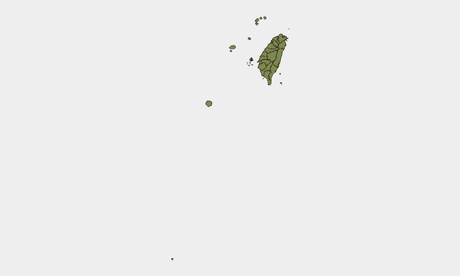
Penghu (risk 31.4) and Taipei (13.4) drive the national risk ranking. Penghu's exposure reflects its position in the Taiwan Strait and proximity to PLA operations; Taipei's elevation reflects political volatility, government decision-making concentration, and proximity to northern air and sea corridors now experiencing increased PLA activity. Nantou County (13.4) appears elevated due to the large-scale civil-defense drill activity and critical infrastructure vulnerability mapping evident in the 3 July exercise. All other sub-national areas remain below 3.0 risk composite.
How GeoBit Would Assist
Security teams should deploy Maritime & Aviation Tracking and AOI Monitoring & Early Warning capabilities to monitor PLA/PLAN/CCG positions in real time and alert on corridor incursions affecting company personnel and supply routes. Routing & Network Analysis can model alternative air and sea corridors and identify least-disrupted logistics pathways. Multi-language OSINT fusion (X/Twitter, news, official statements) and Sentiment & Temporal Analysis enable rapid detection of political or operational escalation signals that may trigger regulatory changes or curfews affecting duty-of-care obligations.
7-Day Outlook
PLA and CCG activity is likely to sustain at elevated levels through the second week of July; further median-line transits and east-of-Taiwan patrols are probable as China signals resolve to normalize operations. Civilian aviation and maritime delay risk will persist. Monitor Taiwan government announcements for any new mobilization directives, travel restrictions, or critical-infrastructure alerts that would trigger corporate response protocols.
Highest-Risk Areas — Ranked
| # | State / Region | Risk |
|---|---|---|
| 1 | Penghu | 31.4 |
| 2 | Taipei | 13.4 |
| 3 | Nantou County | 13.4 |
| 4 | Kinmen | 2.9 |
| 5 | Taoyuan City | 2.9 |
| 6 | Kaohsiung | 1.4 |
| 7 | Pingtung County | 1.4 |
| 8 | Taitung County | 1.4 |
| 9 | Lienchiang County | 1.4 |
| 10 | Changhua County | 1.4 |
| 11 | Miaoli County | 1.4 |
| 12 | Taichung | 1.4 |
Sources
Previous Daily Briefs
A new Taiwan brief is written every day — each with its own risk map and downloadable CSV. Here's the last week; use the calendar to go further back.
📅 Browse every day by calendar →
Highlighted days have a brief. Tap a day for that day's map & analysis, or “csv” for that day's dataset ($5).
Atlas — our AI intelligence desk — emails them this snapshot personally. Nothing else, no list.