Situation Summary
Guatemala remains a low-acute-incident environment (global rank #53, composite threat score 32) with no major security incidents independently verified in the last 24–48 hours. Structural vulnerabilities—fragmented governance, persistent organized-crime networks, and gang activity in specific corridors—create chronic risk rather than acute flashpoints. The primary near-term threat is ongoing rainy-season impacts affecting infrastructure, mobility, and humanitarian conditions, particularly in Alta Verapaz.
Key Developments
- National – July 11, 2026 – Rainy-season emergency continues
CONRED (national disaster authority) reported 796 cumulative incidents since April 19, affecting 23,944 people, with 9 fatalities, 3 injured, and 4 missing. Evacuations ongoing in Alta Verapaz municipalities including Chahal, Fray Bartolomé de las Casas, and San Cristóbal Verapaz. Damage to housing and transport infrastructure expected to restrict road access and supply chains through mid-rainy season (through October).
- Countrywide – July 9–15, 2026 – Absence of newly verified major acute incidents
Open-source monitoring and cross-corroborated intelligence indicate no new major security events (armed attack, homicide surge, cartel action, protest escalation, or institutional instability) in the 24–48 hour window. This reflects operational stability at the national level but does not imply risk mitigation in known hotspots.
Highest-Risk Areas
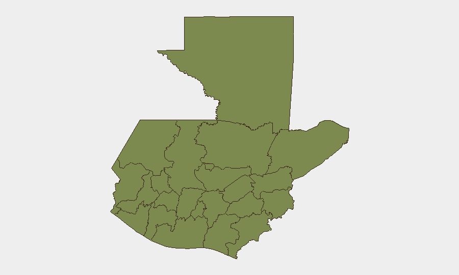
Alta Verapaz dominates the sub-national ranking (risk score 31.5), driven by a combination of geographic isolation, rainy-season vulnerability, historical gang presence, and limited state capacity. Guatemala Department (capital/metro area, score 5.4) retains secondary but significant risk owing to urban crime density and proximity to government facilities. The remaining eight departments cluster at scores ≤2.7, indicating risk is highly concentrated geographically. Organizations with operations or personnel in Alta Verapaz should prioritize contingency planning for infrastructure disruption and supply-chain delays.
How GeoBit Would Assist
Intel Sweep & OSINT Fusion would provide continuous multi-language monitoring (X/Twitter, Telegram, local news, radio SIGINT) to surface emerging incidents and actor statements in real time, reducing reliance on delayed conventional reporting. AOI Monitoring & Early Warning configured on Alta Verapaz, critical supply routes, and Guatemala Department would alert security teams to localized unrest, roadblocks, or forced displacement before they impact operations. GIS & Spatial Analysis combined with Routing & Network Analysis would enable rapid alternative-route planning when primary transport corridors close due to weather, gang activity, or security incidents, supporting duty-of-care compliance for personnel movement.
7-Day Outlook
Rainy-season conditions are expected to persist through July, with further flooding and landslide risk in Alta Verapaz and western highlands. No acute security escalation is forecast at the national level, though routine gang violence and smuggling activity in border regions and urban centers will continue. Corporate teams should maintain baseline monitoring and supply-chain flexibility; evacuation or lockdown drills are not immediately warranted but should remain exercised for higher-risk deployments.
GEOBIT THREAT RANKING: Guatemala #53 globally | Composite threat score: 32 | 31 tracked events
BRIEF DATE: 2026-07-15 | DATA WINDOW: Last 24–48 hours + structural context
Highest-Risk Areas — Ranked
| # | State / Region | Risk |
|---|---|---|
| 1 | Alta Verapaz | 31.5 |
| 2 | Guatemala Department | 5.4 |
| 3 | San Marcos | 2.7 |
| 4 | Petén | 1.8 |
| 5 | Huehuetenango | 1.5 |
| 6 | Quetzaltenango | 1.5 |
| 7 | Retalhuleu | 1.5 |
| 8 | Quiché | 1.5 |
| 9 | Totonicapán | 1.5 |
| 10 | Sololá | 1.5 |
| 11 | Chimaltenango | 1.5 |
| 12 | Suchitepéquez | 1.5 |
Sources
Previous Daily Briefs
A new Guatemala brief is written every day — each with its own risk map and downloadable CSV. Here's the last week; use the calendar to go further back.
📅 Browse every day by calendar →
Highlighted days have a brief. Tap a day for that day's map & analysis, or “csv” for that day's dataset ($5).
Atlas — our AI intelligence desk — emails them this snapshot personally. Nothing else, no list.