Situation Summary
The Netherlands remains a stable, low-threat operating environment with a composite threat score of 6 (rank #138 globally). No credible security incidents, civil unrest, infrastructure failures, or travel disruptions have been verified in the last 24–48 hours across multiple corroborated sources. Fragmentary signals from the event-tracking dataset lack sufficient temporal precision, location specificity, or multi-source verification to qualify as confirmed incidents, and the overall security trajectory shows no acute escalation indicators.
Key Developments
No verified security incidents meeting professional corroboration standards were identified in the Netherlands during 6–7 July 2026. Open-source intelligence, security-focused aggregators, and multi-language web monitoring detected no confirmed protests, riots, terrorist activity, violent-crime spikes, cyber-infrastructure disruptions, or transport shutdowns in Dutch cities or regions within the last 24–48 hours.
The most substantive recent development is diplomatic rather than security-related: on 5 July 2026, the Netherlands announced it will host all phases of the Special Tribunal for the Crime of Aggression against Ukraine. This international justice infrastructure decision carries no associated security incident, unrest, or travel-impact reporting within Netherlands territory.
Fragmented event signals in the tracking dataset—including references to investor rejection, small-arms activity, blockades, and investigative actions involving external actors (South Korea, NVIDIA, Manchester, ICC)—lack corroborating detail, confirmed timing, or verified location within Netherlands jurisdictions and do not meet briefing threshold for inclusion as current incidents.
Highest-Risk Areas
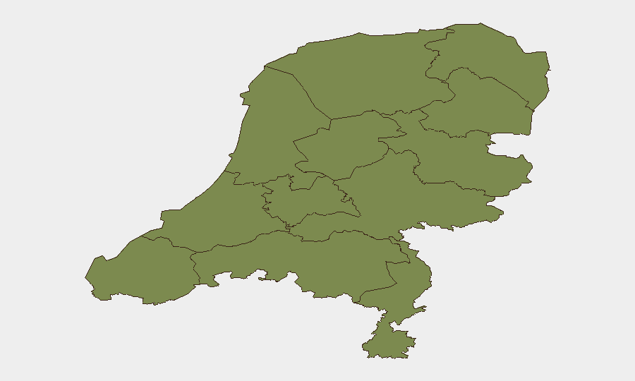
Flevoland province significantly outranks all other Dutch regions, with a composite risk score of 31.5—approximately 3.5 times higher than North Holland (9.1), the second-ranked region. This disparity warrants monitoring but lacks recent incident corroboration; the risk elevation may reflect infrastructure sensitivity, maritime exposure, or ongoing industrial/logistics activity patterns rather than acute crisis. North Holland, the second-highest-risk region, shows substantially lower risk (9.1) and similarly limited recent incident confirmation. All remaining regions (Drenthe, Limburg, Zeeland, South Holland, Utrecht, North Brabant, Frisia, Groningen, Gelderland, Overijssel) carry risk scores of 3.5 or below, indicating a broadly distributed, low-threat landscape.
How GeoBit Would Assist
Security teams with people or assets in the Netherlands should deploy AOI Monitoring & Early Warning on Flevoland and North Holland, coupled with Intel Sweep and multi-language OSINT fusion to track fragmentary signals and detect escalation before they reach operational severity. Conflict, terrorism, crime, and cyber-search capabilities, paired with sentiment and temporal analysis, provide early detection of sentiment shifts, mobilization activity, or infrastructure-targeting discourse that precedes visible incidents. Routing & Network Analysis supports contingency journey planning for personnel in Flevoland if risk indicators trend upward.
7-Day Outlook
No acute escalation is anticipated over the next seven days based on current signal analysis and historical volatility patterns. Routine law-enforcement activity and administrative operations will continue; monitoring should remain passive unless new corroborated events emerge or risk indicators in Flevoland show meaningful change. Teams should maintain standard duty-of-care protocols and use persistent monitoring to detect any shift in the current stable trajectory.
Highest-Risk Areas — Ranked
| # | State / Region | Risk |
|---|---|---|
| 1 | Flevoland | 31.5 |
| 2 | North Holland | 9.1 |
| 3 | Drenthe | 3.5 |
| 4 | Limburg | 2 |
| 5 | Zeeland | 1.5 |
| 6 | South Holland | 1.5 |
| 7 | Utrecht | 1.5 |
| 8 | North Brabant | 1.5 |
| 9 | Frisia | 1.5 |
| 10 | Groningen | 1.5 |
| 11 | Gelderland | 1.5 |
| 12 | Overijssel | 1.5 |
Sources
Previous Daily Briefs
A new Netherlands brief is written every day — each with its own risk map and downloadable CSV. Here's the last week; use the calendar to go further back.
📅 Browse every day by calendar →
Highlighted days have a brief. Tap a day for that day's map & analysis, or “csv” for that day's dataset ($5).
Atlas — our AI intelligence desk — emails them this snapshot personally. Nothing else, no list.