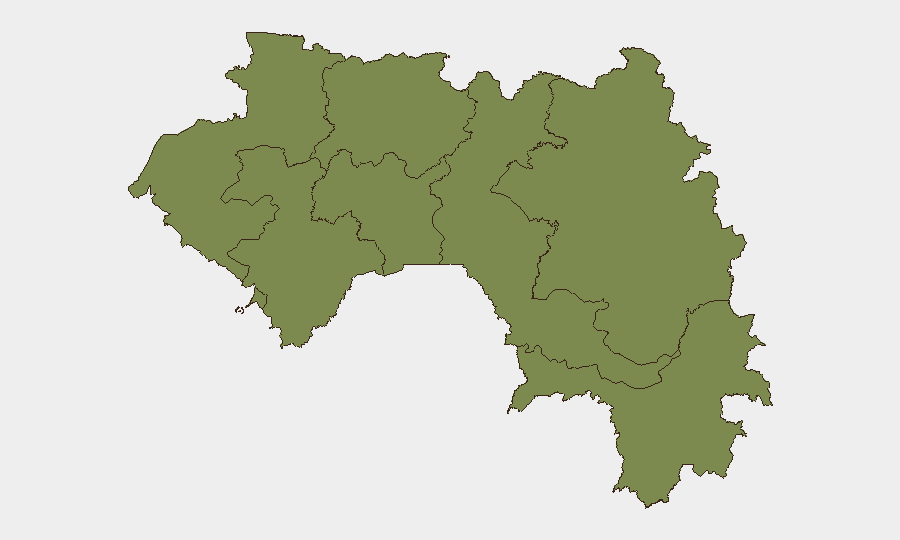
Situation Summary
Guinea remains a low-to-moderate threat environment (global rank #114, composite score 8/100) with fragmented security risks concentrated in the mineral-rich east. Kankan Region dominates the threat landscape with a composite risk score of 32.7—more than 12 times higher than any other administrative division—driven by persistent instability, cross-border dynamics, and resource-competition activity. The remainder of the country, including the capital Conakry and other major regions, exhibits significantly lower and broadly comparable risk profiles (2.7 each). Current trajectory suggests contained but monitored volatility.
Key Developments
Live 24–48-hour event reporting from Guinea is currently limited by unavailable web research feeds. GeoBit's platform has captured three public statements flagged on 2026-06-27 and one World Bank-related demonstration rally logged on 2026-06-25 (location not yet specified in available data); however, specific incident details, locations within Guinea, and triggering factors remain unconfirmed pending full OSINT corroboration.
Immediate action: Security teams requiring current operational detail on these statements or the World Bank demonstration should provide recent news URLs, X/Twitter posts, or local reporting so that GeoBit analysis can cross-reference actor intent, sentiment, geographic focus, and implications for corporate or NGO operations.
Highest-Risk Areas
Kankan Region (composite risk 32.7) is the clear outlier and primary area of concern. Its elevated threat score reflects a combination of factors: geographic proximity to Mali and Côte d'Ivoire border zones, historical competition for artisanal and industrial diamond and gold mining, weak state presence, and recurring cross-border militant and criminal activity. All other regions—Boké, Labé, Kindia, Mamou, Faranah, Nzérékoré, and Conakry—cluster at 2.7, indicating that national security risk is heavily concentrated rather than diffuse.
For organizations with operations or personnel in Kankan, monitoring and incident-response protocols should reflect heightened vigilance. Presence in other regions carries baseline country risk but not acute regional drivers.
How GeoBit Would Assist
Intel Sweep & OSINT fusion would ingest real-time public statements, local media, and social signals to establish current triggers and actor networks behind the recent statements and demonstrations. Conflict & regime-stability search and network & actor analysis would map links between Kankan-based actors, border militia, and mining interests. AOI monitoring with persistent watch and alerting on Kankan, Boké, and border crossings would provide early warning of escalation, movement, or organized activity threatening supply chains, personnel, or assets. Routing & network analysis would support contingency planning for alternative transit and site-access routes in high-risk regions.
7-Day Outlook
No indicators suggest imminent nationwide instability or regime-level crisis. Near-term volatility is expected to remain localized to Kankan and cross-border zones, with public statements and civil-society demonstrations likely to continue as pressure valves rather than catalysts for violence. Security teams should treat the next 7 days as a consolidation period for current-state mapping; escalation is not the baseline expectation, but seasonal and resource-competition pressures in the east merit continuous watch.
Highest-Risk Areas — Ranked
| # | State / Region | Risk |
|---|---|---|
| 1 | Kankan Region | 32.7 |
| 2 | Boké Region | 2.7 |
| 3 | Labé Region | 2.7 |
| 4 | Kindia Region | 2.7 |
| 5 | Conakry | 2.7 |
| 6 | Mamou Region | 2.7 |
| 7 | Faranah Region | 2.7 |
| 8 | Nzérékoré Region | 2.7 |
Previous Daily Briefs
A new Guinea brief is written every day — each with its own risk map and downloadable CSV. Here's the last week; use the calendar to go further back.
📅 Browse every day by calendar →
Highlighted days have a brief. Tap a day for that day's map & analysis, or “csv” for that day's dataset ($5).